Living along Florida's Gulf Coast means dealing with atmospheric forces that change block by block. In Hernando Beach, weather isn't just a background detail you check on an app; it dictates daily routines, marine navigation, and home maintenance. Local conditions are shaped by a complex interplay of marine heat retention, sea breezes, and low-lying coastal geography.
Understanding how these elements interact explains why a clear morning in Hernando Beach can turn into a torrential downpour by mid-afternoon, while areas just a few miles inland stay entirely dry. Master these local patterns to plan outdoor activities, protect property, and navigate the unique atmospheric rhythms of the Nature Coast.
The Geography of Hernando Beach Microclimates
Hernando Beach sits uniquely within Hernando County along the Gulf of Mexico. Unlike traditional grid cities, this residential community is characterized by an extensive network of man-made canals, saltwater lagoons, and direct tidal connections to the Gulf. This layout creates distinct microclimates where water temperatures directly influence immediate air temperatures.
Water has a much higher specific heat capacity than land, meaning it absorbs and releases heat slower than the adjacent mainland. During spring and early summer, the Gulf waters remain relatively cool, creating a stabilizing effect that can keep shoreline temperatures slightly lower than inland spots like Brooksville. Conversely, autumn water temperatures stay elevated, keeping coastal nights warmer than interior zones.
Canal networks also trap radiant heat. Narrow waterways flanked by seawalls absorb solar radiation throughout the day, reradiating that heat into the surrounding air at night. This dynamic creates localized thermal pockets where morning fog often forms over specific canals while neighboring streets remain clear.
Shifting Winds and the Sea Breeze Engine
Wind direction dictates daily life on the coast, driving everything from tidal heights to outdoor comfort. The region's wind profile is heavily governed by the classic Florida sea breeze cycle, which operates with remarkable predictability for most of the year.
The Land and Sea Breeze Cycle
During the morning hours, land temperatures rise faster than water temperatures. This temperature gradient creates a localized low-pressure zone over the land, drawing cooler air off the Gulf. This process generates the signature daytime sea breeze, which typically picks up around midday and blows steadily from west to east.
By evening, the cycle reverses. The land cools down quicker than the Gulf, creating an offshore land breeze that pushes light air from east to west out toward open water.
Seasonal Wind Variations
Wind speeds and prevailing directions shift significantly between seasons:
- Summer: Dominated by light, variable macro-winds averaging 6 miles per hour, frequently overpowered by intense local sea breeze collisions.
- Winter: Marked by stronger frontal passages, where cold fronts push down from the north, bringing brisk northerly winds, choppy canal waters, and sharp temperature drops.
- Hurricane Season (June to November): Tropical waves and systems introduce erratic, high-velocity wind patterns that can rapidly alter coastal water levels independently of local tide charts.
Seasonal Climate Patterns and Daily Life
Life in Hernando Beach requires adapting to distinct wet and dry seasons. Annual precipitation averages roughly 55 inches, but this moisture is distributed unevenly across the calendar.
Summer brings oppressive humidity and daily convective thunderstorms. As the east coast sea breeze and west coast sea breeze collide across the Florida peninsula, massive towering cumulus clouds build up. When these collision zones stall over Hernando County, intense downpours, frequent lightning, and localized street flooding occur with little advance warning.
Winter and early spring offer a stark contrast. These months bring lower humidity, clear skies, and comfortable daytime highs in the low 70s. However, fast-moving cold fronts can drop overnight temperatures into the 40s, forcing residents to switch from air conditioning to heating within a matter of hours. Spring is often the driest period, occasionally creating brushfire risks due to low relative humidity and dry vegetation.
Practical Impacts on Coastal Living
Atmospheric dynamics directly affect daily routines for anyone living or working near the water. Boat owners must monitor both regional forecasts and local wind shifts, as a sudden afternoon sea breeze collision can turn a calm canal exit into choppy, hazardous water in minutes.
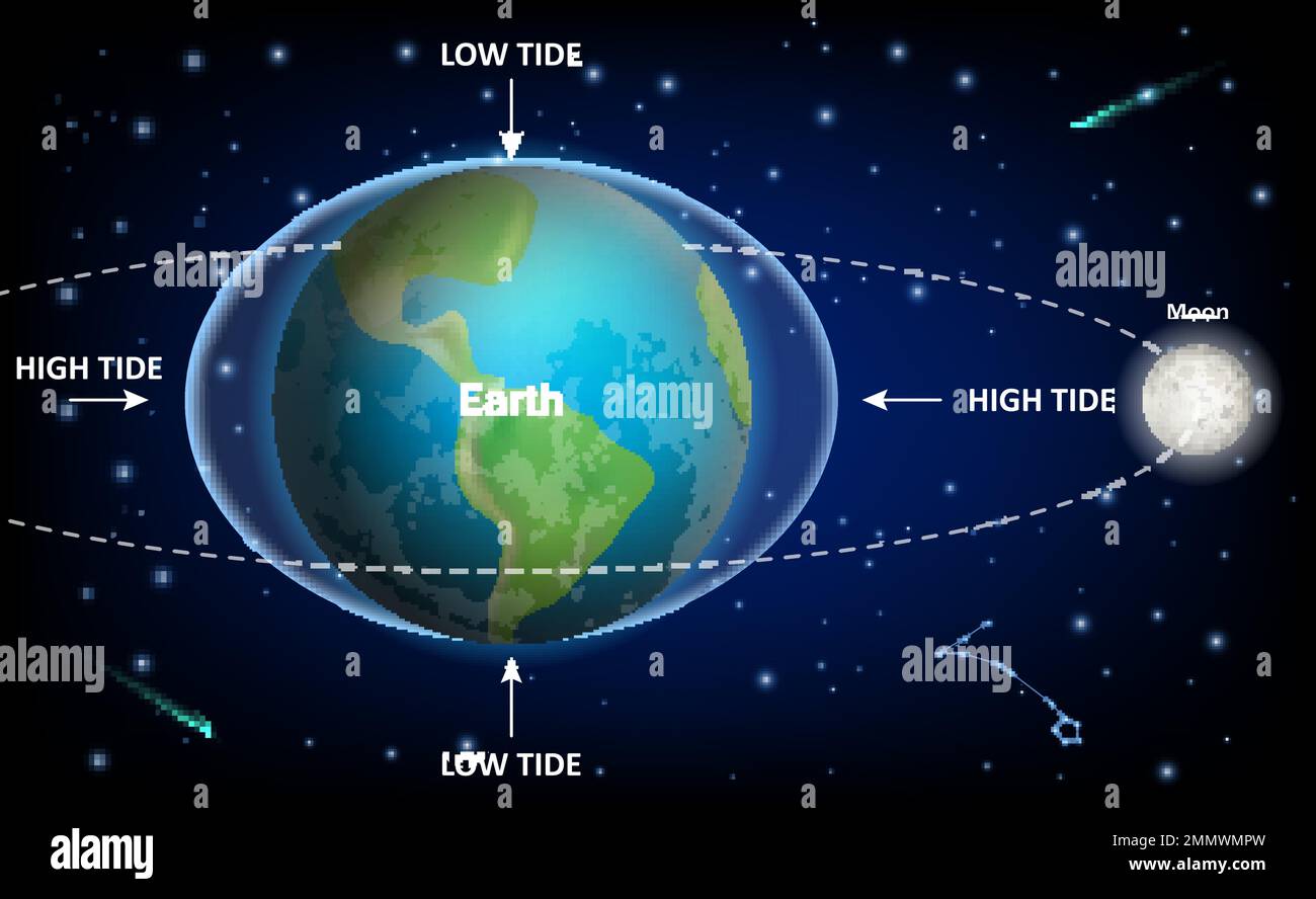
Home maintenance requires constant vigilance against high humidity and salt air. Exterior building materials face accelerated corrosion, and moisture levels demand robust HVAC management to prevent indoor mold. Furthermore, low-lying coastal elevations mean that wind-driven tides can push water over seawalls even without a named tropical storm making landfall.
Keeping track of official updates through the National Weather Service helps residents prepare for sudden squalls, while local monitoring tools provide insight into immediate wind and tide changes.
Frequently Asked Questions
Why does it rain in Hernando Beach when it is sunny just a few miles inland?
This is caused by sea breeze front collisions. Moisture-laden air rolling off the Gulf meets warm inland air, creating localized storm clouds right along the coastal transition zone. These storms often drop heavy rain locally while missing the interior mainland entirely.
How do the canals affect neighborhood temperatures?
Water bodies act as thermal regulators. During hot summer months, large expanses of water can slightly temper peak afternoon heat right on the waterfront, while in winter, the warmer water stores heat and buffers against light frosts.
What is the windiest time of year in Hernando Beach?
Winter and late autumn experience stronger average wind speeds due to frequent cold front passages sweeping down the peninsula. Summer winds are generally lighter overall but feature high gusts inside afternoon thunderstorms.
How do seasonal wind shifts impact local fishing and boating?
Morning hours typically offer the calmest conditions before the afternoon sea breeze sets in. Anglers and boaters watch the wind direction closely, as opposing winds and tidal currents can create dangerous chop at the mouth of local waterways and navigation channels.