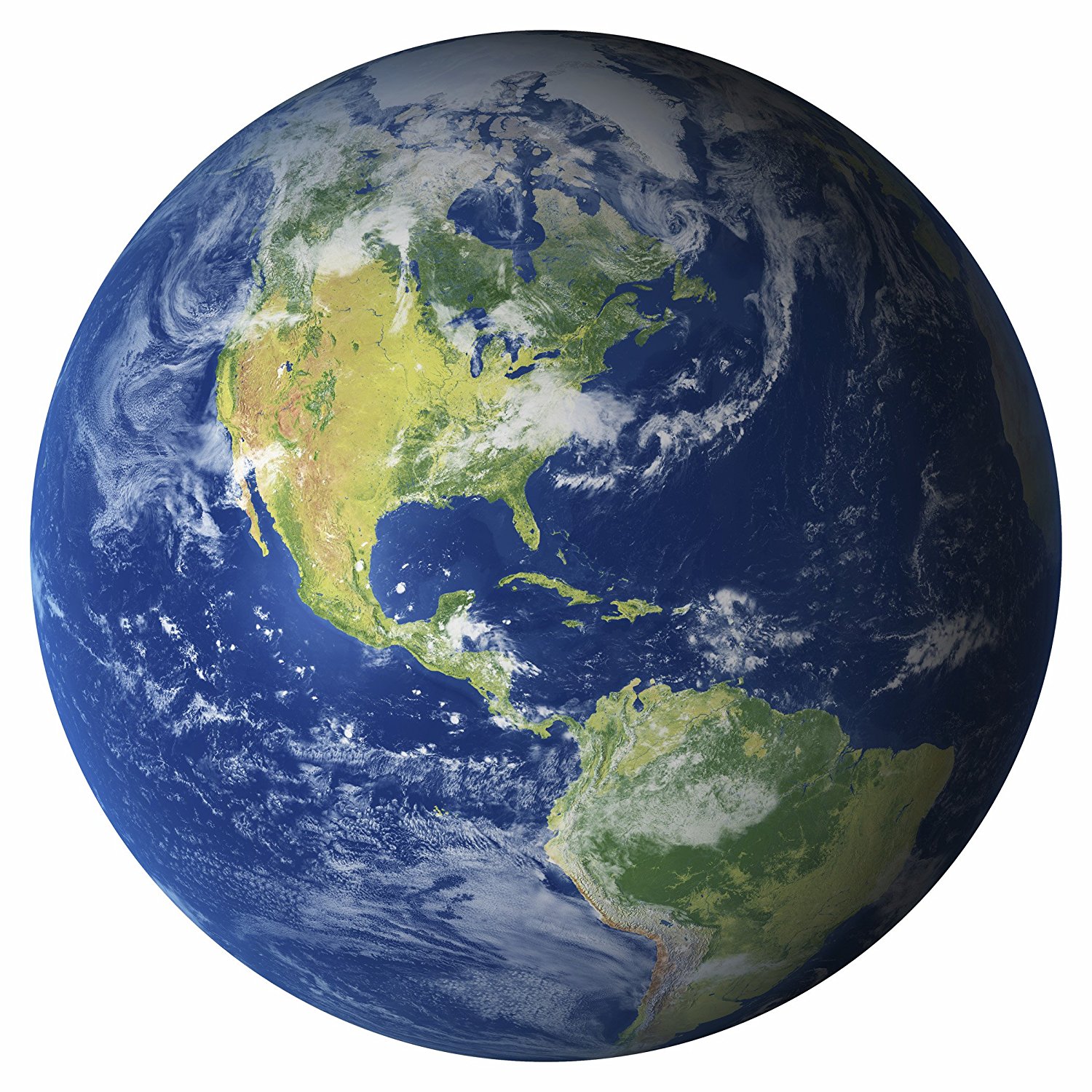
You can find divergent boundaries primarily along the deep ocean floor, where massive tectonic plates pull away from each other to form global mid-ocean ridge systems, or on rare continental landmasses actively tearing apart. These geological zones act as constructive margins, where molten rock rises from the mantle, cools on contact with water or air, and solidifies to manufacture fresh oceanic crust.
Understanding where these zones exist requires looking past ordinary maps and examining the underwater architecture of our planet and select continental fracture lines. While most of this tectonic activity remains hidden beneath miles of seawater, specific geographic regions bring these boundaries directly to the surface.
The Global Mid-Ocean Ridge System
The vast majority of divergent boundaries reside on the ocean floor, weaving a continuous underwater mountain chain spanning roughly 65,000 kilometers. This network accounts for over twenty percent of Earth's surface.
The Mid-Atlantic Ridge
Running from the Arctic down toward the southern tip of Africa, the Mid-Atlantic Ridge separates the North American and Eurasian plates in the northern hemisphere, and the South American and African plates in the southern hemisphere.
- Spreading Rate: The plates pull apart at an average speed of about 2.5 centimeters per year.
- Creation Date: This separation kicked off roughly 175 million years ago when the supercontinent Pangaea began breaking apart.
- Surface Exposure: Iceland sits directly on top of this ridge, making it one of the few spots on Earth where visitors can walk across a visible subaerial rift valley.
The East Pacific Rise
Located in the Pacific Basin, the East Pacific Rise separates the Pacific Plate from the Nazca, Cocos, and Antarctic plates. Unlike the slow-spreading Mid-Atlantic Ridge, the East Pacific Rise ranks among the fastest-spreading centers on the planet, with spreading rates reaching up to 15 centimeters per year in certain segments. This rapid movement creates broader, gentler underwater slopes rather than steep, rugged mountain chains.
Continental Rift Zones on Land
When divergent forces tear through thick continental crust instead of thin oceanic crust, they create immense depressions known as rift valleys. These areas show what oceans look like in their infancy.
The East African Rift System
The East African Rift stretches approximately 3,000 kilometers from the Afar Triangle in Ethiopia down through Kenya, Tanzania, and Mozambique. Here, the African Plate is splitting into two distinct pieces: the Nubian Plate and the Somali Plate.
- Geological Features: Deep fault-bounded basins trap water, forming long freshwater lakes like Tanganyika and Malawi.
- Volcanic Activity: Active volcanoes like Mount Kilimanjaro and Mount Kenya line the rift shoulders.
- Future Outlook: Millions of years from now, seawater will flood the valley, turning East Africa into an island and creating a brand-new ocean basin.
The Red Sea Rift
The Red Sea represents a more advanced stage of continental rifting than East Africa. Around 30 million years ago, the Arabian Peninsula and the African mainland began pulling apart. Water eventually filled the widening gap, and today the Red Sea functions as a narrow, young ocean basin that continues to widen year by year.
How Divergent Boundaries Shape the Earth
Tectonic spreading does more than just push plates apart; it drives a continuous cycle of planetary renewal.
- Crust Generation: Magma wells up from the mantle to fill the physical gap left by separating plates, forming basaltic rock.
- Hydrothermal Vents: Superheated water escapes through cracks along mid-ocean ridges, supporting unique ecosystems that thrive without sunlight.
- Shallow Earthquakes: As brittle rock fractures under tension, it triggers frequent, shallow-focus earthquakes along the boundary lines.
You can learn more about global plate mechanics through the USGS Plate Tectonics Overview or examine detailed crustal maps provided by the National Geographic Education Resource Library.
Frequently Asked Questions
Why don't we feel most divergent boundaries happening?
Most divergent boundaries sit thousands of meters underwater, where intense water pressure and remote locations keep seismic events far away from human populations.
What is the difference between oceanic and continental divergent boundaries?
Oceanic boundaries form long underwater mountain chains and thin, dense basaltic crust. Continental boundaries tear thick landmasses apart, creating deep rift valleys, volcanic peaks, and eventually new seas.
Will Iceland eventually split in two?
Yes. The rift running through Iceland represents the on-land expression of the Mid-Atlantic Ridge. The western portion belongs to the North American Plate, while the eastern portion belongs to the Eurasian Plate, and they pull apart by roughly two centimeters every year.
How do scientists measure the speed of divergent boundaries?
Geologists use high-precision Global Positioning System (GPS) networks on land, sonar mapping on the ocean floor, and satellite radar altimetry to track plate movement down to the millimeter.



