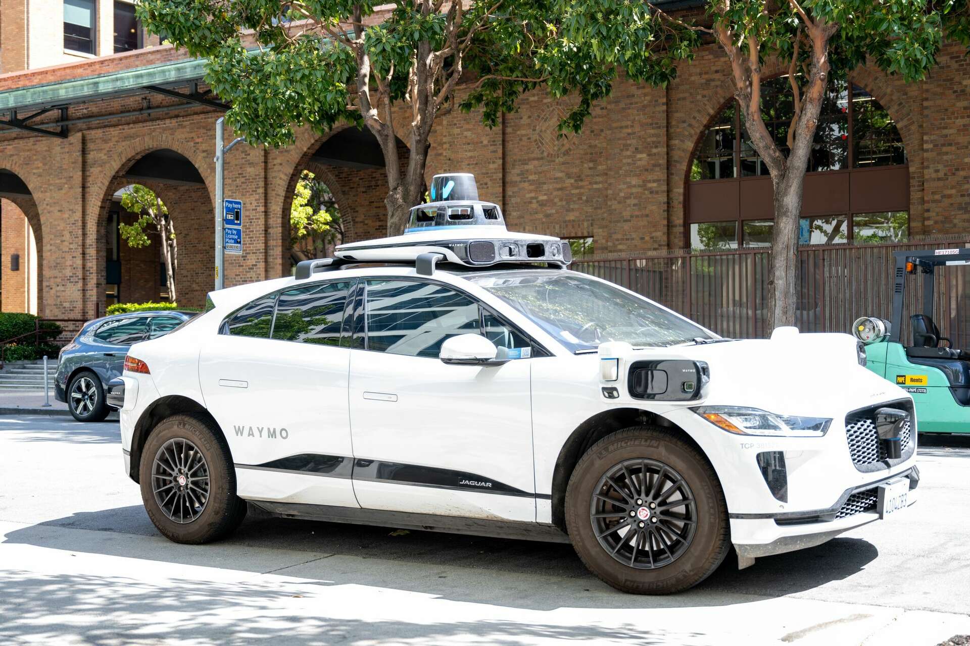
Autonomous drone systems rely on sophisticated software architectures and hardware integration to execute complex aerial missions without direct pilot input. Achieving true unmanned aerial vehicle mastery requires understanding the core mechanisms governing modern flight controllers, obstacle avoidance algorithms, and real-time sensor fusion.
Engineers building modern autonomous aircraft must balance power constraints, payload capacity, and computational speed. Traditional remote-controlled flight relies on continuous RF uplinks, but advanced autonomous frameworks shift decision-making directly to the onboard edge computer. This transition enables operations in GPS-denied environments, dense urban corridors, and remote industrial sites where communication links fail.
Core Pillars of Autonomous Flight Architecture
Modern unmanned systems depend on a tightly coupled triad of sensors, processors, and actuation layers. Without synchronization across these domains, flight instability or mission failure occurs immediately.
- Perception and State Estimation: Cameras, LiDAR units, and inertial measurement units gather raw environmental data. Visual odometry algorithms process this input to track position relative to surrounding structures.
- Path Planning and Decision Engines: Software stacks ingest perception data and compute collision-free trajectories using optimization algorithms like Model Predictive Control.
- Actuation and Flight Control: Electronic speed controllers translate computed trajectories into precise motor RPM adjustments at frequencies exceeding 400 hertz.
Edge computing hardware has advanced significantly, allowing micro-processors to execute simultaneous localization and mapping (SLAM) tasks locally. This capability separates basic waypoint-following drones from truly autonomous robotic platforms capable of dynamic obstacle re-planning.
Sensor Fusion and Environmental Awareness
Reliable navigation depends on sensor fusion, a process that combines inputs from multiple physical sensors to reduce uncertainty. Relying on a single sensor type creates dangerous single points of failure.
GPS signals degrade near tall buildings, inside canyons, or during intentional jamming operations. To maintain spatial awareness, autonomous systems combine GNSS data with inertial measurement units, barometers, and downward-facing optical flow cameras.
- Inertial Measurement Units (IMUs): Measure acceleration and angular velocity at high frequencies to track short-term movement.
- LiDAR and Depth Sensors: Active sensors that emit light pulses to construct precise 3D point clouds of nearby obstacles.
- Vision Systems: Passive cameras utilized for semantic understanding, landing pad detection, and visual inertial odometry.
When GPS data drops, the flight controller dynamically weights visual and inertial data to maintain stable hovering and path execution. This redundancy forms the backbone of reliable autonomous navigation.
Industrial and Commercial Implementation Challenges
Deploying autonomous aerial vehicles outside controlled laboratory environments introduces severe engineering hurdles. Weather variations, electromagnetic interference, and unexpected dynamic obstacles test the limits of onboard algorithms.
- Power Density Limitations: Battery chemistry restricts flight times, forcing engineers to optimize power draw between propulsion motors and onboard computing payloads.
- Thermal Management: High-performance edge processors generate substantial heat inside sealed enclosures, requiring efficient passive or active cooling designs.
- Regulatory Compliance: Operational frameworks require redundant fail-safes, geofencing limits, and reliable emergency recovery triggers like parachute deployment systems.
Organizations adopting these technologies must establish rigorous testing protocols. Simulators running physics engines allow developers to test edge-case failure scenarios—such as motor failure or sensor blinding—thousands of times before physical flight testing.
Frequently Asked Questions
What makes an unmanned aerial vehicle truly autonomous?
A vehicle achieves autonomy when it can execute a complete mission—including takeoff, route re-planning, obstacle avoidance, and landing—without requiring real-time human intervention or continuous remote control inputs.
How do autonomous drones avoid unexpected obstacles?
Drones use a combination of active sensors like LiDAR and passive stereo cameras to detect objects in their flight path. Onboard computers process these inputs in milliseconds to calculate alternative trajectories.
What is the role of edge computing in UAV mastery?
Edge computing allows drones to process heavy computational tasks locally on the aircraft rather than streaming raw video to a ground station. This eliminates latency and enables split-second navigation decisions.
How do drones navigate without GPS signals?
In GPS-denied areas, systems rely on visual inertial odometry, terrain referencing, and internal IMUs to estimate their exact position relative to their starting point and immediate surroundings.