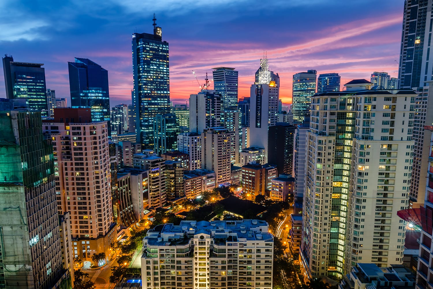
Every year, roughly twenty tropical cyclones enter the Philippine area of responsibility, making this archipelago one of the most disaster-prone regions on earth. Positioned squarely along the western Pacific typhoon belt, the country experiences frequent landfalls that test the limits of local infrastructure, community resilience, and emergency response systems. Understanding how these systems form, what hazards they trigger, and how to prepare can mean the difference between survival and catastrophe.
When a major storm approaches, knowing the specific storm warning signals and having an actionable evacuation plan are vital. Storm surges, torrential downpours, and violent winds regularly isolate rural towns and flood urban centers like Metro Manila. This guide breaks down the underlying geography, the cascading impacts on communities, and practical, step-by-step measures required to safeguard your household before, during, and after a severe weather event.
Geography and Why the Archipelago is Vulnerable
The Philippine archipelago consists of over 7,100 islands stretching between the Pacific Ocean and the South China Sea. This unique layout acts as both a gateway and a funnel for tropical disturbances. Warm ocean waters provide the thermal energy needed for storms to intensify rapidly, often upgrading from standard tropical storms into destructive super typhoons before striking eastern seaboards like Northern Luzon and the Visayas.
Topography further complicates these risks. Steep mountain ranges running across the islands cause torrential rains to trigger devastating landslides and flash floods, while narrow coastal plains bear the brunt of destructive wind-driven coastal flooding. Because a significant portion of the population lives in coastal or low-lying river basins, millions of residents find themselves directly exposed to rising waters whenever a major weather system makes landfall.
Understanding the Hazards: Beyond High Winds
While fierce winds frequently dominate news headlines, wind is only one piece of a complex hazard profile. Storm surges—abnormal rises of seawater generated by a storm's intense pressure and winds—often cause the most catastrophic loss of life and property along coastal zones. As ocean water piles up and sweeps ashore, it overtops sea walls and inundates communities miles inland.
Heavy, continuous rainfall creates secondary hazards that linger long after the eye of the storm has passed. River systems overflow their banks, turning city streets into swift-moving rivers. In deforested or mountainous regions, saturated soil liquefies, unleashing sudden mudslides that bury homes and block vital transportation arteries. Furthermore, prolonged power outages disrupt water treatment facilities, threatening public health long after the skies clear.
The Philippine Public Storm Warning System
The Philippine Atmospheric, Geophysical, and Astronomical Services Administration (PAGASA) manages the meteorological monitoring and warning framework. The public storm warning signals provide a tiered alert structure based on wind speeds and lead times:
- Signal No. 1: Winds of 30 to 60 kilometers per hour are expected within 36 hours, prompting minor disruptions and initial property checks.
- Signal No. 2: Winds between 60 and 100 kilometers per hour arrive within 24 hours, posing a threat to light structures, marine transport, and agriculture.
- Signal No. 3: Destructive winds ranging from 100 to 185 kilometers per hour approach within 18 hours, requiring immediate evacuation from coastal and low-lying zones.
- Signal No. 4 and No. 5: Very destructive to catastrophic typhoon-force winds exceeding 185 kilometers per hour strike within 12 hours or less, causing severe structural failure even in engineered buildings.
Practical Steps for Typhoon Preparedness
Effective preparation starts months before the rainy season peaks between July and October. Waiting until a storm enters the Philippine area of responsibility usually leaves too little time to secure provisions or reinforce vulnerable structures.
Hardening Your Home
Inspect your roof for loose sheets, missing fasteners, or compromised flashing. Trim overgrown tree branches near power lines or overhangs to prevent them from crashing through windows during high gusts. If you live in an area prone to severe storm surges or high winds, install storm shutters or keep precut plywood sheets ready to shield glass panes. Clear gutters and drainage canals to ensure rainwater flows away from your foundation rather than pooling near structural supports.
Assembling an Emergency Kit
Pack a self-sustaining emergency kit designed to last at least three days without outside assistance. Store supplies in waterproof containers. Your kit should include:
- One gallon of drinking water per person per day
- Non-perishable food items that require minimal cooking, alongside a manual can opener
- A battery-operated or hand-crank emergency radio to receive local advisories
- Fully charged power banks and extra mobile phone batteries
- A well-stocked first aid kit, prescription medications, and basic sanitation supplies
- Important identification documents sealed in waterproof plastic bags
Staying Safe During and After the Storm
When local authorities issue mandatory evacuation orders, follow them immediately. Delaying departure puts rescue personnel at risk and traps families as floodwaters rise.
If you shelter in place, stay away from exterior windows and glass doors. Move to the upper floors if floodwaters begin entering ground-level rooms. Never venture outside during a sudden lull in the wind; you may simply be standing in the calm center, or eye, of the storm, and violent winds from the opposite direction will resume shortly.
Post-storm recovery demands cautious navigation. Avoid walking or driving through moving floodwaters, as hidden hazards like downed electrical lines, open manholes, and sharp debris pose severe threats. Do not consume tap water until local health agencies verify its safety, and steer clear of hilly regions for several days due to the heightened risk of delayed landslides.
Frequently Asked Questions
When is the peak of the typhoon season in the Philippines?
The primary rainy and typhoon season runs from June through November, with July through October experiencing the highest frequency and intensity of storms.
How can I verify official weather updates during a blackout?
Keep a battery-powered or hand-crank AM/FM radio tuned to local emergency broadcast stations, or rely on fully charged mobile devices connected to cellular data networks to check official bulletins from PAGASA.
What should I do if my home begins to flood?
Turn off the main electrical breaker to prevent electrocution risks, move essential family members and pets to higher levels, and call local emergency response units if immediate rescue is required.
Why are urban areas like Metro Manila so prone to severe flooding?
Metro Manila sits within a low-lying basin surrounded by river systems and Manila Bay, where rapid urbanization, blocked drainage systems, and land reclamation exacerbate the impacts of heavy monsoon rains and storm surges.


