Understanding ocean conditions Newport Oregon requires looking past the surface beauty to grasp the powerful physics shaping the Pacific Northwest shoreline. Swells generated thousands of miles away across the Pacific Ocean crash against local beaches like Agate Beach and Nye Beach, bringing dynamic hazards that catch unprepared visitors off guard. Reading the water safely means tracking wave periods, tide charts, and local wind patterns before you ever step foot on the sand.
When you walk down to the shoreline in Newport, you're interacting with one of the most energetic marine environments in North America. High surf advisories, sneaker waves, and sudden rip currents demand respect. Whether you're planning a beach walk, setting up for surf fishing, or tracking local marine traffic, knowing how to interpret the data from National Weather Service Newport Forecasts can keep you out of danger.
The Physics of Pacific Northwest Swells
Ocean swells don't just appear out of nowhere; they are organized trains of waves born from distant storms far out in the open ocean. Low-pressure systems churning across the North Pacific generate massive winds that transfer energy directly into the water surface. Once these waves move away from the storm track, they sort themselves into clean, rhythmic swells that travel across the basin until they hit the Oregon shelf.
Wave Height Versus Wave Period
Most beachgoers make the mistake of looking only at wave height while ignoring the wave period—the time in seconds between one crest and the next. A short-period wind chop of six feet every six seconds feels erratic and messy, but it carries less raw momentum onto the sand.
By contrast, a long-period swell with a period of 16 to 20 seconds packs immense sub-surface energy. Even if the visible wave face looks modest further out, long-period swells drag across the shallow seafloor near Newport, steepening rapidly as they break. This process releases massive volumes of water onto the beach, resulting in aggressive run-up that can sweep people off rocks or log-strewn shores.
Directional Approach and Coastal Refraction
The angle at which a swell hits the Newport coastline dictates which beaches bear the brunt of the energy. Northwest swells wrap around headlands like Yaquina Head, concentrating wave power into specific pocket beaches. As waves enter shallower water, wave refraction bends the wave crests parallel to the bottom contours, focusing energy onto shallow bars and creating unpredictable currents.
Primary Hazards on the Newport Coastline
The beauty of the Central Oregon coast masks severe physical risks. Respecting the ocean means recognizing the specific hazards that claim lives along these shores every year.
- Sneaker Waves: These sudden, massive surges of water rush much higher up the dry sand than preceding waves. They often catch beach walkers off guard, knocking them down and dragging them into the freezing undertow.
- Rip Currents: Powerful channels of water flowing away from the shore can rapidly pull even strong swimmers past the break. They frequently form near jetties, such as the north and south jetties guarding Yaquina Bay.
- Cold Water Shock: Oregon coastal waters hover between 50 and 55 degrees Fahrenheit year-round. Sudden immersion triggers involuntary gasping, hyperventilation, and rapid loss of muscular control within minutes.
- Log Hazards: Massive drift logs stranded on the beach act like deadfall traps. When a wave lifts a multi-ton log, it rolls instantly, crushing anyone trapped underneath.
Reading Local Marine Data and Buoys
Guessing ocean conditions by looking out a hotel window is a recipe for trouble. Accurate coastal planning relies on real-time data instruments managed by organizations like the Coastal Data Information Program.
Key Buoys to Monitor
- Buoy 46050 (Stonewall Bank): Located roughly 20 nautical miles west of Newport, this is your best indicator of incoming offshore wave height and period before it reaches the shallow surf zone.
- Buoy 46029 (Columbia River): Positioned further north, this helps track large winter storm swell trains moving down the Pacific coastline toward Lincoln County.
Interpreting Tide Tables
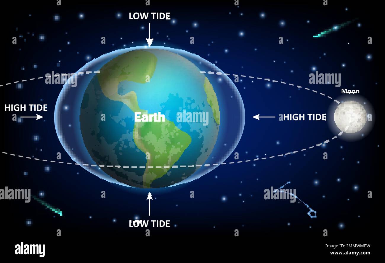
Tides dictate the buffer zone between the ocean and the cliffs or logs. Low tide exposes wide stretches of hard-packed sand, making it ideal for exploring tide pools around Yaquina Head. However, incoming floods during a high-swell event can trap hikers against sheer rock walls where escape routes vanish in minutes. Always check local tide charts from the National Ocean Service and note the time of the turn.
Step-by-Step Guide to Evaluating Coastal Safety
Before heading down to the beach, follow this systematic evaluation process to ensure safe conditions for your outing.
- Check the Marine Forecast: Look for active Small Craft Advisories, Gale Warnings, or High Surf Advisories issued for coastal waters from Cascade Head to Florence.
- Analyze Swell Periods: Review the offshore buoy data. If the swell period exceeds 14 seconds combined with a height over eight feet, expect powerful, hazardous shore breaks.
- Inspect the Beach Layout: Scan the specific beach for rip current channels, steep gravel drop-offs, and large accumulations of drift logs positioned near the surf line.
- Identify Escape Routes: Look at the cliffs and tide levels. Ensure you know where high ground is located and whether an incoming tide will block your path back.
- Observe Before Entering: Stand on a safe elevated bluff or parking area for at least ten minutes to watch set waves and determine the true rhythm of the ocean.
Common Mistakes Made by Coastal Visitors
Even experienced travelers frequently misjudge the power of the Pacific. Avoiding these common errors dramatically reduces your risk profile.
- Turning Your Back on the Ocean: Never position yourself near the surf line while facing away from the water. Sneaker waves strike without warning.
- Ignoring Local Warning Signs: Municipalities post signs at dangerous access points for a reason. Ignoring closed beach warnings due to calm weather moments is dangerous because wave sets occur in pulses.
- Overestimating Swimming Ability: Oregon surf is not comparable to warm tropical waters. Wetsuits are mandatory for any extended water exposure, and swimming near river mouths or jetties introduces severe structural currents.
- Dressing Incorrectly: Heavy cotton clothing absorbs water, becomes freezing, and drags you down if you get soaked by a rogue wave. Always wear synthetic layers and secure footwear.
Frequently Asked Questions
How can I spot a rip current before entering the water?
Look for a break in the incoming pattern of breaking waves, a channel of churning, choppy water moving outward, or a discolored band of water extending past the surf zone. If you see foam or debris moving steadily offshore, stay out of that area.
What should I do if a sneaker wave knocks me down?
If you're caught in rushing water, drop any heavy items, fight to keep your head above the surface, and swim defensively with the current while angling sideways toward the shallow sand. Do not try to fight a direct rip current head-on; swim parallel to the shore until you escape the pull.
Why are long-period swells more dangerous than short-period waves?
Long-period swells carry their energy deep beneath the surface. When they reach the shallow continental shelf off Newport, that underwater energy transforms into towering, forceful breaking waves that rush far up the beach slope with immense kinetic force.
Is it safe to walk on the beach during a high surf advisory?
No. High surf advisories indicate that ocean conditions feature destructive wave action and severe run-up that can easily sweep adults, children, and pets off the sand into the freezing surf. Stay behind dune lines and view the ocean safely from designated viewpoints.