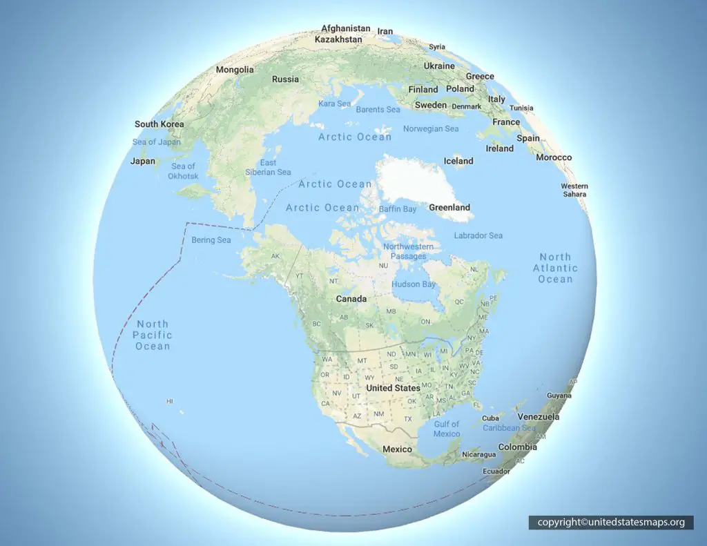
Map ley lines define the practice of charting alleged straight alignments across the Earth's surface that connect ancient monuments, sacred landmarks, and geological features. While popular culture frames these invisible geometric grids as pathways of concentrated earth current, archaeologists and historians view them through the lens of ancient surveying, topography, and human pattern recognition.
Alfred Watkins first popularized the concept in 1921 after noticing that ancient British landmarks appeared to line up visually in straight paths. Today, the debate over these alignments spans geomythology, statistical probability, and cultural anthropology, offering insight into how humans organize and interpret landscapes.
Origins of Alignment Theory: Alfred Watkins and The Old Straight Track
The modern study of landscape alignments began with amateur archaeologist Alfred Watkins. While riding his horse across Herefordshire, England, in June 1921, Watkins noticed that local monuments—such as hilltops, moats, and old churches—seemed to fall along straight visual tracks.
Watkins coined the term "ley" from Old English terminology denoting woodland clearings. In his 1925 work The Old Straight Track, he argued that these paths were remnants of prehistoric straight-line surveying used for trade and communication before modern roads existed.
- Prehistoric trackways served practical functions for early merchants and travelers.
- Straight lines provided the easiest navigation across open, unmapped terrain.
- Ancient builders often used prominent landscape features as sighting points.
Watkins didn't attribute mystical powers to these routes. He viewed them as mundane infrastructure created by Neolithic and Bronze Age communities. However, his ideas laid the groundwork for later esoteric reinterpretation.
The Shift Toward Esotericism and Earth Mysteries
During the 1960s and 1970s, writer John Michell revived Watkins' work, blending it with UFO lore, sacred geometry, and dowsing. Michell reframed leys as lines of spiritual force akin to Chinese feng shui or acupuncture meridians.
This shift birthed the "earth mysteries" movement. Practitioners began using pendulums and dowsing rods to locate supposed underground energy currents flowing beneath ancient megaliths.
- Esoteric interpretations gained traction during the counterculture movement of the 1970s.
- Dowsers claimed to feel physiological shifts when crossing charted alignment paths.
- Books and television specials popularized the notion of a planetary energy grid connecting global monuments.
Despite these claims, no physical instrument has ever detected distinct "ley energy" flowing along these purported vectors. Geologists confirm that the Earth possesses natural magnetic fields and telluric currents, but these forces do not align neatly with human-drawn straight lines between historical monuments.
Mapping Methodology: How Researchers Plot Alignments
Cartographers and independent researchers use specific steps to plot potential alignments on topographic maps. Understanding this process clarifies how patterns emerge from geographical data.
- Node Selection: Researchers select historical sites, churches, prehistoric standing stones, or natural features on a map.
- Line Projection: Using digital GIS software or physical rulers, straight lines are drawn through three or more points.
- Statistical Filtering: Proponents look for astronomical alignments, seasonal sunrises, or historical continuity along the projected path.
The primary methodological challenge is confirmation bias. Given the high density of historical monuments across regions like Western Europe, statistical probability dictates that random points will occasionally form straight lines.
Skeptics argue that alignment hunters selectively include supporting sites while ignoring thousands of monuments that fall outside the proposed tracks.
Famous Alignment Claims: Case Studies
Several major alignment systems dominate the literature on landscape geometry. Examining these specific claims reveals both the visual appeal and the geographical discrepancies inherent in the field.
The St. Michael Line
Stretching across southern England, the St. Michael Line is perhaps the most famous proposed alignment. Proponents claim it runs uninterrupted from Cornwall to Norfolk, connecting sites dedicated to St. Michael, including Glastonbury Tor and Avebury.
- The alignment coincides roughly with the May Day sunrise in certain areas.
- Critics note that the line bends by several degrees in places to accommodate favored monuments.
- Many crucial sacred sites in the region fall entirely outside the designated corridor.
The Mont Saint-Michel Alignment
Some researchers extend British alignments across the English Channel into France, connecting coastal landmarks to the abbey of Mont Saint-Michel. While visually striking on a small-scale map, high-resolution topographical analysis shows that these cross-channel paths rely on generalized coordinates rather than precise architectural sitings.
Scientific and Psychological Explanations
The persistence of alignment beliefs stems from fundamental aspects of human cognition. Psychologists study these phenomena to understand how people derive meaning from complex environments.
Apophenia and Pattern Recognition
The human brain excels at finding order in chaos—an evolutionary trait that helped ancestors track prey and navigate terrain. This tendency, known as apophenia, causes observers to connect unrelated dots on a map into coherent geometric systems.
Landscape Symbolism
Anthropologists view ancient monument placement as a reflection of cosmological worldviews rather than utility or energy grids. Prehistoric builders frequently aligned tombs and stone circles with solstices, lunar extremes, and prominent horizon features like mountain peaks. These choices reflected religious and seasonal calendars, not hidden global grids.
Frequently Asked Questions
What physical force creates map ley lines?
There is no physical force or measurable energy associated with ley lines. Scientific consensus attributes them to human pattern recognition applied to historical sites.
Did ancient people intentionally build monuments in straight lines?
Some ancient cultures used sightlines for astronomical observations and surveying, but widespread networks connecting distant sites across hundreds of miles were not part of prehistoric engineering.
How can I test a proposed alignment on my own map?
You can test any alignment by plotting historical sites in your local region and checking whether the density of monuments makes random linear coincidences statistically likely.
What is the difference between ley lines and telluric currents?
Telluric currents are real, measurable electric currents that flow through the Earth's crust and oceans. Ley lines are cultural constructs without empirical validation in geophysics.