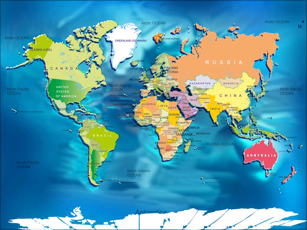
World weather radar networks form the backbone of modern disaster prevention. When severe weather strikes, every minute matters. Real-time tracking systems process atmospheric data instantly, giving communities vital minutes to evacuate, secure property, and stay safe.
Understanding how these systems operate reveals the engineering behind modern forecasting. Traditional meteorology relied on delayed reports and basic barometer readings. Today, high-frequency Doppler networks and geostationary satellites scan the atmosphere continuously, transforming raw data into life-saving operational insights.
How World Weather Radar Networks Track Storms
Doppler radar units send out radio frequency pulses into the atmosphere. When these pulses hit raindrops, snowflakes, or hail, they bounce back to the receiver. By measuring the frequency shift of the returned signal, meteorologists determine not only where precipitation is falling, but also how fast and in what direction the storm is moving.
Networks like the NOAA National Severe Storms Laboratory combine data from hundreds of ground stations with orbital platforms. This dual approach creates a complete, three-dimensional picture of developing weather systems. Ground arrays capture low-level rotation and wind shear, while satellite constellations monitor large-scale cloud tops and moisture plumes from space.
The Role of High-Resolution Data Processing
Raw radar scans require immense computing power to translate into usable maps. Modern systems process volume coverage patterns every four to six minutes. This rapid update cycle allows forecasters to spot sudden intensification, such as a thunderstorm beginning to rotate or drop destructive hail, long before visual confirmation from the ground.
- Reflectivity measurements: Show precipitation intensity and drop size.
- Velocity data: Track wind speed and directional shear within the storm cell.
- Dual-polarization technology: Distinguish between rain, snow, heavy ice, and non-weather debris like ash or insects.
Real-Time Tracking and Public Safety Impact
Advanced tracking directly reduces weather-related casualties. When flash floods or tornadoes threaten populated areas, automated alert systems trigger mobile warnings minutes before impact.
Emergency management agencies use these live feeds to stage rescue equipment, shut down transit lines, and direct traffic away from danger zones. Communities integrated with robust radar feeds experience significantly fewer fatalities during severe convective events because warning lead times have doubled over the past two decades.
Common Misconceptions About Radar Imagery
Many people misunderstand what they see on public weather apps. A common mistake is assuming that a bright red or magenta blob on a screen means immediate destruction at your exact address.
- Beam height issues: Radar beams travel upward as they move away from the station. A storm appearing overhead might actually be miles high in the atmosphere, with light rain or nothing reaching the ground yet.
- Clutter interference: Mountains, wind turbines, and flocks of birds can sometimes create false echoes on older radar screens.
- Latency gaps: Free consumer apps often display delayed data compared to specialized meteorological workstations used by official agencies.
Future Innovations in Global Weather Monitoring
The next generation of weather tracking incorporates machine learning models to predict storm trajectories faster than traditional physics equations alone can compute. Artificial intelligence algorithms analyze historical storm archives alongside live telemetry to spot signature patterns of rapid intensification.
Furthermore, expansion of commercial weather satellites and dense urban sensor networks will soon eliminate radar blind spots in developing regions and mountainous terrain. These improvements ensure that real-time protection reaches every corner of the globe, regardless of infrastructure challenges.
Frequently Asked Questions
How often do world weather radar maps update?
Most standard ground-based radar stations complete a full volume scan every four to six minutes, while global satellite composites refresh approximately every ten minutes.
Can radar detect a tornado before it touches down?
Yes. Doppler radar detects internal rotation within a thunderstorm cloud—known as a mesocyclone—often providing minutes of warning before a funnel cloud reaches the ground.
Why do weather radar displays show different colors?
Colors represent precipitation intensity and type, measured in decibels relative to reflectivity (dBZ). Lighter colors like green indicate light rain, while reds and purples signify heavy downpours, severe turbulence, or hail.
Are consumer weather apps as accurate as government radar?
Consumer apps use the same raw data feeds from agencies like the World Meteorological Organization, but third-party apps may apply different rendering algorithms or compression that slightly alter the visual detail.



