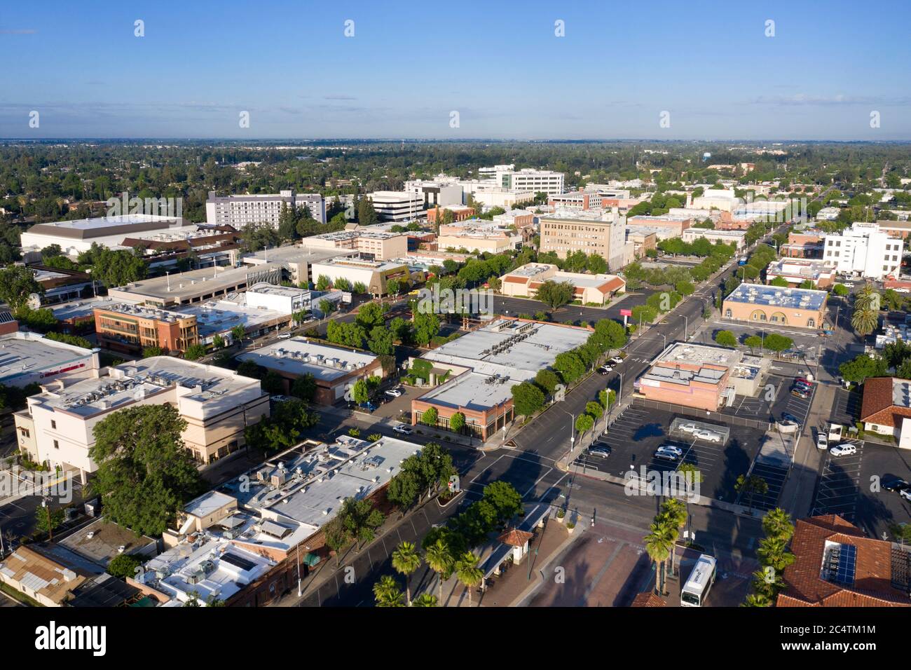
Visalia sits in the southern portion of California's San Joaquin Valley, serving as the economic and governmental hub of Tulare County. Positioned roughly 230 miles southeast of San Francisco and 190 miles north of Los Angeles, the city acts as a primary inland gateway to the Sierra Nevada mountains and Sequoia National Park. If you look at a topographical map of California, Visalia occupies the flat agricultural interior, tucked between the Coast Ranges to the west and the towering Sierra Nevada range to the east.
Understanding where Visalia is located requires looking beyond a simple point on a map. Its placement in the southern Central Valley defines its climate, economy, and role as a connector between major urban centers and the state's most rugged wilderness.
Exact Geographical Coordinates and Boundaries
Geographically, Visalia is located at approximately 36.3302 degrees north latitude and 119.2921 degrees west longitude. The city sits at an elevation of roughly 330 feet above sea level, spread across an area of about 36 square miles.
The terrain immediately surrounding the city is remarkably flat, a characteristic trait of the San Joaquin Valley floor. This flatness historically supported expansive oak woodlands, patches of which are still preserved today at local landmarks like Mooney Grove Park. Four main waterways flow through or adjacent to the city area, including the St. John's River, Mill Creek, Cameron Creek, and Packwood Creek, all fed by the snowmelt running off the nearby Sierra Nevada range.
Regional Proximity and Distance to Major California Hubs
Visalia's central location in the San Joaquin Valley puts it within driving distance of major California destinations, making it a strategic stopover for travelers.
- Fresno: Roughly 45 miles northwest, making Fresno the closest major metropolitan neighbor via Highway 99.
- Bakersfield: About 70 miles south down Highway 99, anchoring the southern end of the valley.
- Yosemite National Park: Approximately 110 miles to the north.
- Sequoia and Kings Canyon National Parks: Just 36 miles east of downtown, where the valley floor abruptly rises into the Sierra Nevada foothills.
Because of this proximity to the national parks, Visalia is frequently used as a basecamp for tourists exploring the Giant Forest and Mount Whitney, which lies about 58 miles east of the city.
Transportation and Highway Access
Getting to Visalia relies heavily on the state's arterial highway grid. The city's connectivity depends on a few key routes:
- State Route 99 (SR-99): Runs north-south just west of the city core, connecting Visalia directly to Sacramento, Fresno, and Bakersfield.
- State Route 198 (SR-198): Cuts directly east-west through Visalia, serving as the primary corridor heading east toward the mountain foothills and Sequoia National Park, and west toward Hanford and Interstate 5.
While passenger rail service does not stop directly inside Visalia's city limits—Amtrak operates stations in nearby Hanford and Corcoran—regional bus networks like the Visalia Transit system bridge the gap. For air travel, most residents and visitors rely on Fresno Yosemite International Airport (FAT), located less than an hour's drive to the north.
Climate and Environmental Setting
The location of Visalia dictates a Mediterranean climate characterized by hot, dry summers and cool, damp winters. Summer temperatures routinely exceed 95 degrees Fahrenheit, while winter mornings often feature heavy valley fog, locally known as "Tule fog," which can significantly reduce visibility across the valley floor.
This climate, combined with rich alluvial soil washed down from the Sierra Nevada mountains over millennia, makes Tulare County one of the most productive agricultural regions in the United States. Orchards of citrus, stone fruits, and nut trees dominate the landscape surrounding the city limits, driving the local economy.
Frequently Asked Questions
What county is Visalia in?
Visalia is located in Tulare County and serves as the county seat, housing the primary government offices, courts, and administrative services for the region.
Is Visalia considered part of Southern California or Northern California?
Visalia is part of Central California. It sits squarely in the San Joaquin Valley, which forms the southern half of the broader Central Valley region, distinct from both the Bay Area/Northern California and the Greater Los Angeles/Southern California metropolitan areas.
How close is Visalia to Sequoia National Park?
Downtown Visalia is about 36 miles west of the entrance to Sequoia National Park. Driving up State Route 198 East takes motorists from the flat valley floor directly into the mountain foothills in roughly 45 to 50 minutes.
What is the population of Visalia?
The city's population is estimated at approximately 146,000 residents, making it the fifth-largest city in the San Joaquin Valley and the largest city in Tulare County.



