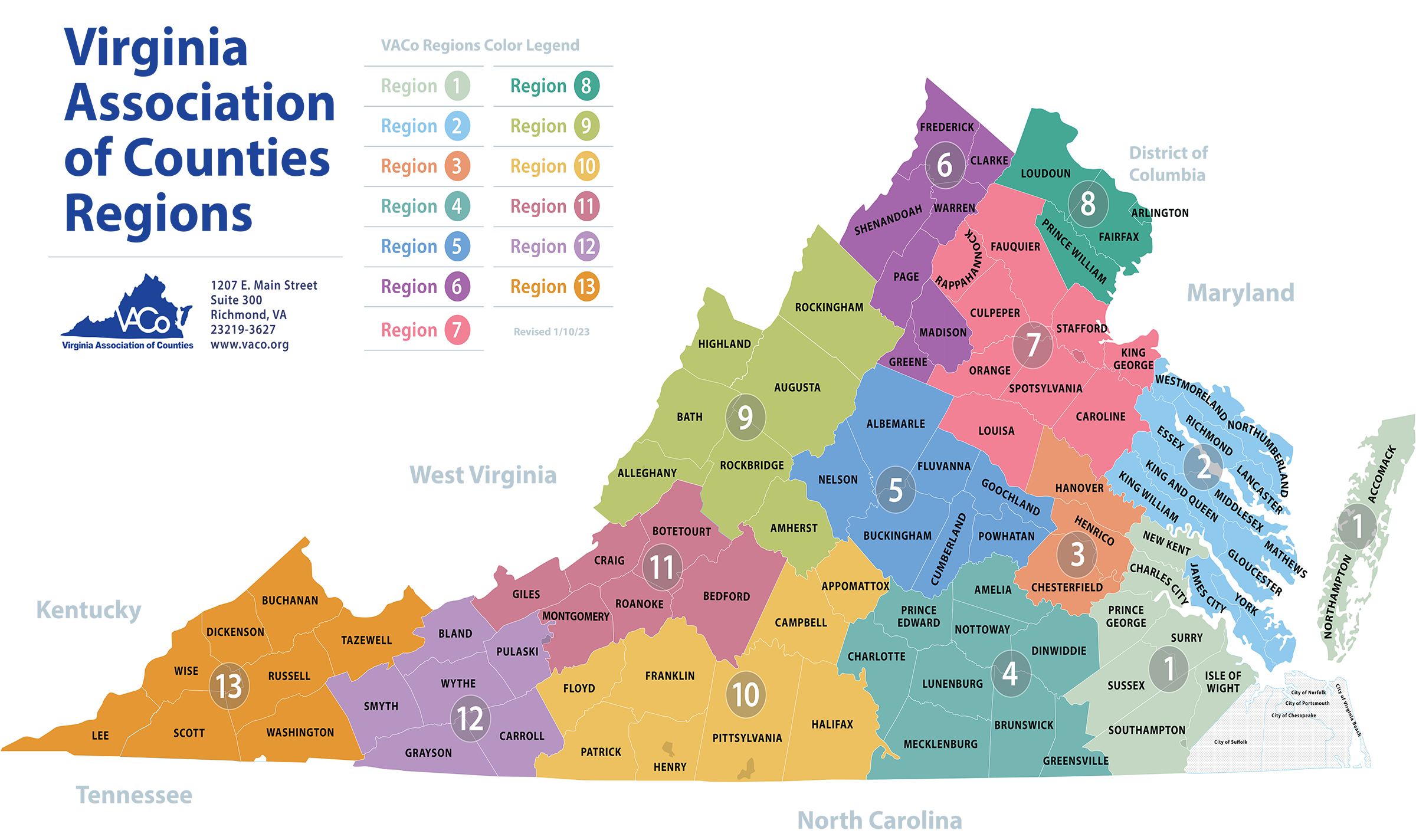
Virginia is located in the Mid-Atlantic and Southeastern regions of the United States, bordered by the Atlantic Ocean to the east, Maryland and Washington D.C. to the northeast, North Carolina and Tennessee to the south, Kentucky to the west, and West Virginia to the northwest. Positioned along the eastern seaboard, it acts as a cultural and geographical bridge between the American North and South.
The state spans roughly 42,775 square miles, making it the 35th largest state by area, but its positioning has shaped American history, defense networks, and trade routes since the 17th century. Its unique borders trace natural river systems, mountain ridges, and historical land grants that defined westward expansion.
Geographical Positioning and Borders
Understanding Virginia's exact location requires looking at its varied bordering states and natural water boundaries. To the east, the state touches the Chesapeake Bay and the open waters of the Atlantic Ocean, creating deep-water ports that have driven maritime commerce for centuries.
- North and Northeast: Bordered by Maryland and the District of Columbia, separated largely by the Potomac River.
- South: Bordered by North Carolina along the 36°30′ parallel, and stretching westward to clip northeastern Tennessee.
- West and Northwest: Bordered by Kentucky and West Virginia, with the latter splitting off from Virginia during the American Civil War in 1863.
These boundaries place the state entirely within the Eastern Time Zone, serving as a central transit corridor for drivers, rail lines, and aviation routes moving up and down the I-95 corridor.
Topographic Zones from East to West
Virginia's landscape changes dramatically from its eastern coast to its western mountain ranges. Geographers divide the state into distinct physiographic provinces that dictate local climate, economy, and settlement patterns.
The Tidewater and Coastal Plain
The easternmost section is low-lying and flat, interlaced with tidal rivers flowing into the Chesapeake Bay. This region includes the Hampton Roads metropolitan area, home to massive naval installations, and the historic peninsulas where early British colonial settlements took root.
The Piedmont
Moving inland, the terrain gently rises into the Piedmont, a rolling upland region characterized by deep clay soils and ancient bedrock. This is the largest geographic region in the state, containing the capital city of Richmond and stretching right up to the base of the mountains.
The Blue Ridge and Valley and Ridge Provinces
Further west, the Blue Ridge Mountains provide a rugged natural barrier, followed by the Great Appalachian Valley. This western wedge features higher elevations, culminating in Mount Rogers at 5,730 feet, the highest point in the commonwealth.
Strategic Significance in American History
Virginia earned the nickname "The Old Dominion" from King Charles II for its loyalty during the English Civil War, but its geographical location gave it an actual dominion over early American expansion. Under its original colonial charters, Virginia's boundaries theoretically extended westward to the Mississippi River and beyond, shaping the country's early land policies.
During the American Civil War, its central location made it the geopolitical pivot of the conflict. Richmond served as the capital of the Confederacy, sitting just over a hundred miles from the Union capital in Washington, D.C. This proximity turned the intervening terrain into the primary theater of war, resulting in dozens of mapped battlefields that still define regional tourism today.
Modern Economic and Defense Geography
Today, Virginia's location continues to dictate its economic engine. Northern Virginia acts as an economic powerhouse tied directly to the federal government, housing defense contractors, intelligence agencies, and major technology infrastructure.
Meanwhile, the coastal regions maintain critical military assets. The Port of Virginia and naval stations in Norfolk represent one of the densest concentrations of military power globally, anchored directly to deep-water shipping lanes on the Atlantic. You can review official regional data through the Virginia Department of State portal to understand how modern state boundaries manage these infrastructure corridors.
Frequently Asked Questions
Is Virginia considered a Northern or Southern state?
Culturally and historically, Virginia is part of the American South and served as the capital of the Confederacy. However, due to massive demographic shifts and rapid urbanization in Northern Virginia, parts of the state function more like the Mid-Atlantic or Northeast today.
What states surround Virginia?
Virginia is bordered by five states—Maryland, North Carolina, Tennessee, Kentucky, and West Virginia—as well as the District of Columbia and the Atlantic Ocean.
Why does Virginia have so many independent cities?
Unlike most states where cities are part of counties, Virginia law separates cities from counties entirely. An independent city operates its own local government and collects its own taxes independently of any surrounding county structure.
What is the capital city of Virginia?
The capital is Richmond, located in the central part of the state along the James River. Richmond has served as the state capital since 1780, replacing Williamsburg.



