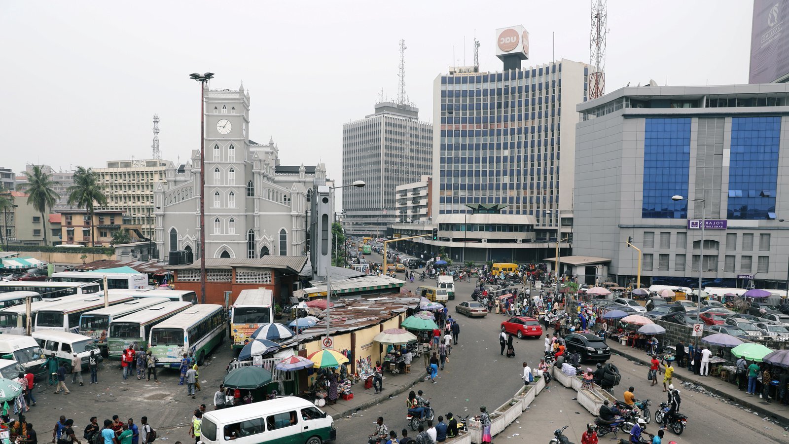
Nigeria occupies a pivotal territorial position on the western coast of Africa, stretching from the Gulf of Guinea on the Atlantic Ocean northward to the fringes of the Sahara Desert. Positioned entirely within the northern and eastern hemispheres, the country lies roughly between latitudes 4 degrees and 14 degrees north, and longitudes 3 degrees and 15 degrees east. This positioning places Nigeria entirely within the tropics, giving it diverse climatic zones that transition from equatorial coastal swamps to arid northern Sahel grasslands.
Understanding Nigeria's geography requires looking at its immediate land borders, regional West African context, and broader international positioning. Covering approximately 923,768 square kilometers, it ranks as the fourteenth largest nation in Africa by area and the most populous country on the continent. Its strategic location makes it a major geopolitical hub, shaping trade routes, regional security, and economic policies across Sub-Saharan Africa.
Immediate Territorial Borders and Neighbors
Nigeria shares international land boundaries totaling over 4,000 kilometers. These borders link the nation to four distinct sovereign countries, creating critical overland trade and cultural corridors across West and Central Africa.
- Northern Border: The Republic of Niger forms the longest northern land boundary, spanning roughly 1,497 kilometers. This border transitions through semi-arid terrain, where historical nomadic and trading routes have connected populations for centuries. A tiny portion of the northeastern border also touches Chad across the shrinking basin of Lake Chad.
- Eastern Border: The Republic of Cameroon runs along Nigeria's eastern and southeastern flank for about 1,690 kilometers. This boundary cuts through diverse landscapes, ranging from tropical lowlands to the mountainous terrain of the Bamenda Highlands and the Obudu Plateau.
- Western Border: The Republic of Benin borders Nigeria to the west for approximately 773 kilometers, serving as a vital commercial gateway connecting Nigerian markets to francophone West Africa.
- Southern Maritime Boundary: The southern edge is defined entirely by an 853-kilometer coastline along the Atlantic Ocean's Gulf of Guinea. This coastline grants Nigeria significant maritime rights, including a 200-nautical-mile exclusive economic zone rich in offshore petroleum reserves and fisheries.
Topography and River Systems
Nigeria's internal landscape features a varied topography dominated by lowlands, river valleys, and central plateaus. The most prominent physical feature is the vast basin formed by the Niger River and its main tributary, the Benue River. These two major rivers converge at the city of Lokoja, splitting the country geographically before emptying into the Atlantic Ocean through the sprawling Niger Delta.
In the north, elevations rise gently toward the high plains of Hausaland and the Jos Plateau, which peaks at over 1,700 meters above sea level. To the southeast, the terrain transitions into rugged highlands along the Cameroon border, featuring the Mambilla and Obudu Plateaus. Low-lying coastal swamps and mangrove forests dominate the southern coastline, creating intricate networks of lagoons, creeks, and distributaries.
Climate and Environmental Zones
Because of its latitudinal span and distance from the ocean, Nigeria's climate varies significantly from south to north. Two primary wind systems dictate seasonal shifts: the moisture-laden southwest monsoon winds blowing from the Atlantic and the hot, dry northeast trade winds (the Harmattan) blowing dust down from the Sahara Desert.
- Tropical Monsoon South: Coastal and southern regions experience heavy annual rainfall, often exceeding 2,000 millimeters, with high humidity and warm temperatures year-round.
- Tropical Savanna Center: Central regions feature distinct wet and dry seasons, supporting open woodland and tall grasses. Abuja, the federal capital, sits within this transitional belt.
- Sahelian North: The far northern fringe experiences an arid or semi-arid climate, where the rainy season lasts only three to four months and annual rainfall drops below 600 millimeters.
Global and Regional Strategic Position
On a global scale, Nigeria serves as the demographic and economic anchor of West Africa. Its massive population—projected to exceed 220 million people—makes it the most populous Black nation in the world. As a founding member of the Economic Community of West African States (ECOWAS) and the African Union, the country exerts considerable diplomatic and economic influence across the continent.
Nigeria's geographic location also positions it as a major energy supplier to global markets. Its abundant reserves of crude oil and natural gas, concentrated largely in the Niger Delta basin and offshore waters, link its economy directly to global energy networks in North America, Europe, and Asia. Major international transport hubs, such as the Murtala Muhammed International Airport in Lagos and primary seaports, function as key entry points for international commerce in the Gulf of Guinea.
Frequently Asked Questions
What exact coordinates define Nigeria's location?
Nigeria lies between latitudes 4°N and 14°N and longitudes 3°E and 15°E. This puts it entirely within the northern and eastern hemispheres, situated just north of the equator in West Africa.
Which countries share a border with Nigeria?
Nigeria is bordered by four nations: Niger to the north, Chad to the northeast, Cameroon to the east, and Benin to the west. Its southern coast faces the Atlantic Ocean.
How large is Nigeria compared to other countries?
Nigeria covers approximately 923,768 square kilometers. It is roughly the size of the US state of Texas and California combined, ranking as the 31st largest country globally and the fourteenth largest in Africa.
What are the main geographic regions within Nigeria?
The country features southern coastal mangrove swamps, central tropical savanna lowlands and hills, the central Jos Plateau, eastern border mountains, and the arid Sahel plains in the extreme north.



