Where is Nevada? Nevada is located in the Western United States, bordered by Oregon and Idaho to the north, Utah to the east, Arizona to the southeast, and California to the west. As the seventh-largest U.S. state by total area spanning 110,572 square miles, it sits primarily within the Great Basin and the Mojave Desert. Despite its massive geographic footprint, it remains one of the country's most sparsely populated states, with roughly three-quarters of its residents clustered in the Las Vegas metropolitan area.
Understanding where Nevada sits on a map requires looking past simple border lines. The state operates as a study in contrasts, split between arid desert basins, towering alpine mountain ranges, sprawling urban centers, and quiet rural mining towns. This guide maps the real geography, turbulent history, and economic trajectory of the Silver State.
Geographic Realities of the Silver State
Nevada’s terrain defies simple categorization. While people picture endless stretches of sand, it's actually the most mountainous state in the country, crossed by more than 300 individual mountain ranges running mostly north-to-south.
The state is divided into three distinct geographic zones:
- The Great Basin (North and Center): This high-desert region covers the majority of the state. It features parallel mountain ranges separated by broad valleys and interior drainage basins where rivers evaporate or sink into dry lake beds rather than reaching the ocean.
- The Mojave Desert (South): Dropping significantly in elevation, the southern tip of the state belongs to the Mojave. This area contains the lowest point in Nevada at 470 feet along the Colorado River and hosts extreme summer temperatures alongside sparse vegetation like Joshua trees.
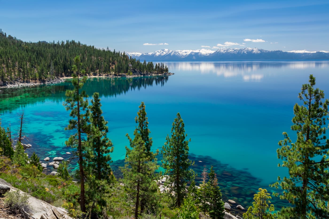
- The Sierra Nevada Range (West): Running along the California border, these high peaks capture moisture from Pacific storms, feeding pristine alpine water features like Lake Tahoe and supplying the Truckee River.
Water dictates human geography here. As the driest state in the nation, precipitation is scarce. Urban centers rely heavily on engineered water delivery systems, such as the Colorado River via Lake Mead for the south, and snowmelt runoff from the Sierra Nevada for the north.
From Frontier Territory to Modern Statehood
Nevada’s history is tied directly to its harsh environment and mineral wealth. Before European contact, Indigenous nations including the Washoe, Paiute, and Shoshone managed the fragile desert ecosystems for millennia.
Spanish explorers gave the region its name—derived from the snowy peaks of the Sierra Nevada—and it later became part of Mexico before the United States acquired it in 1848 following the Mexican-American War.
The true catalyst for settlement was the 1859 discovery of the Comstock Lode, a massive silver deposit near modern-day Virginia City. This discovery triggered a frantic rush of prospectors, capital, and infrastructure, earning the region its enduring nickname, the Silver State.
Political expediency accelerated its path to statehood. On October 31, 1864, Nevada became the 36th state. Abraham Lincoln pushed for fast statehood during the Civil War to secure three crucial electoral votes for his reelection and strengthen Republican majorities in Congress. Because of this rushed birth, locals proudly refer to it as the "Battle Born State".
Economic Shifts and Population Pressures
The modern map of Nevada reflects a population distribution heavily weighted toward two distinct hubs. More than 70 percent of residents live within Clark County in the south, anchored by Las Vegas, North Las Vegas, and Henderson. Another significant population cluster sits in the northwest around Reno, Sparks, and Carson City, the state capital. The remaining thousands of square miles feature vast open spaces, public federal lands, and small agricultural or mining communities.
The economy has evolved far past nineteenth-century silver extraction:
- Tourism and Entertainment: Hospitality, gaming, and convention trade remain economic mainstays, centered heavily around the Las Vegas Strip and downtown Reno.
- Technology and Logistics: Northern Nevada has transformed into a major logistics and advanced manufacturing hub, attracting massive data centers, renewable energy projects, and electric vehicle supply chains.
- Resource Extraction: Traditional mining persists as a global force, with Nevada producing the vast majority of the gold mined in the United States, alongside emerging lithium extraction projects vital for modern energy storage.
Over 80 percent of the state's land is managed by federal agencies, including the Bureau of Land Management and the Department of Defense. This creates a unique land-use dynamic where urban expansion bumps directly against federal boundaries.
The Future: Growth, Water, and Sustainability
Looking forward, Nevada faces complex challenges rooted in its geography. Rapid population growth in desert environments puts immense strain on municipal infrastructure and regional water allocations. State planners and local agencies are investing heavily in water recycling, aggressive conservation mandates, and solar energy generation to secure a sustainable future.
At the same time, the state is navigating an economic diversification wave. As artificial intelligence, clean tech, and aerospace engineering take root outside the traditional tourism sector, the map of Nevada is changing from a simple recreation destination into an engine of Western industrial growth.
Frequently Asked Questions
What time zone is Nevada in?
Most of Nevada operates in the Pacific Time Zone, while a small portion of the state near the northeastern border with Idaho follows the Mountain Time Zone.
Why is Nevada called the Silver State?
The nickname stems from the legendary Comstock Lode discovery in 1859, which produced immense wealth in silver and shaped the early political and economic development of the region.
How much of Nevada is owned by the federal government?
Roughly 80 to 84 percent of Nevada's total land area is managed by the federal government, making it the highest percentage of federal land ownership of any U.S. state.
Where does most of Nevada's population live?
Approximately three-quarters of the state's residents live in Clark County in southern Nevada, encompassing the Las Vegas metropolitan area.



