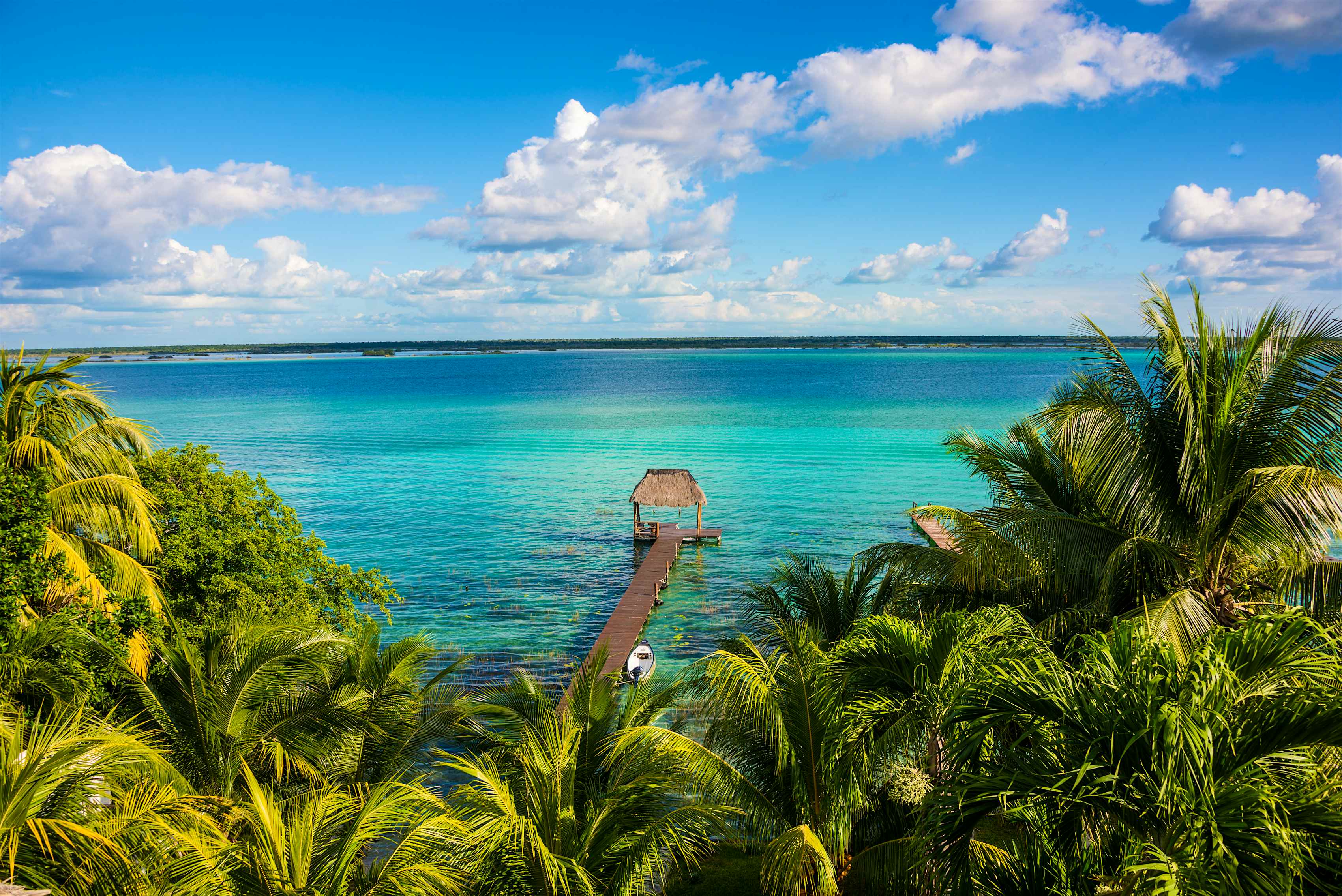
Mexico occupies the southern portion of the North American continent, serving as the physical and economic bridge between the Anglo-North American market and Latin America. Its exact position spans from the temperate latitudes of the north down into the tropical zones near Central America, bordered by the United States to the north, Belize and Guatemala to the southeast, the Pacific Ocean to the west, and the Gulf of Mexico and Caribbean Sea to the east. This positioning places Mexico at a critical crossroads for global shipping lanes, continental supply chains, and geopolitical strategy.
Understanding where Mexico is situated requires looking beyond simple coordinates. Its unique terrain shapes everything from its domestic transportation networks to its manufacturing dominance. Rugged mountain ranges, vast coastal plains, and proximity to the world's largest consumer economy give Mexico a rare mix of geographic advantages and logistical challenges.
The Continental Coordinates and Immediate Borders
Mexico covers roughly 1.96 million square kilometers, making it the fourteenth-largest country globally and the fifth-largest in the Americas. Its northern frontier is shared entirely with the United States, stretching over 3,100 kilometers across four U.S. states: California, Arizona, New Mexico, and Texas. This border is one of the most active international boundaries on earth, handling billions of dollars in daily commercial transit.
To the south and southeast, Mexico narrows into Central America, sharing a 962-kilometer border with Guatemala and a 250-kilometer border with Belize. These southern borders feature dense jungles, river boundaries, and vital entry points for regional trade and migration.
Maritime boundaries are equally expansive. Mexico boasts a coastline exceeding 9,000 kilometers along the Pacific Ocean and the Gulf of California, offering direct shipping routes to Asian markets. On its eastern flank, the Gulf of Mexico and the Caribbean Sea provide direct access to Atlantic shipping lanes and European ports.
Topography and Regional Division
The physical landscape of Mexico is dominated by high plateaus and rugged mountain chains. These landforms heavily influence where people live, how goods move, and which regions thrive economically.
The Sierra Madre Ranges
Two major mountain ranges run parallel to Mexico's coasts, forming a massive geographic spine:
- Sierra Madre Occidental: Running down the western side of the country, this range is an extension of the American Sierra Nevada, featuring peaks that exceed 3,000 meters.
- Sierra Madre Oriental: Stretching along the eastern coast, this range connects structurally with the Rocky Mountains.
Between these two massive walls lies the Mexican Altiplano (Mexican Plateau). This high central plateau contains fertile agricultural land, historical population centers, and major industrial hubs like Mexico City, Guadalajara, and Querétaro.
Trans-Mexican Volcanic Belt
Cutting east-west across central Mexico is the Cordillera Neovolcánica, a volcanic arc containing some of the country's highest peaks, including Pico de Orizaba and Popocatépetl. Geologically and culturally, this belt separates North America from Central America, creating distinct climatic zones and historic trade barriers between the northern deserts and the southern tropical lowlands.
Economic Geography and the Power of Nearshoring
Mexico's geographic placement gives it an immense trade advantage, often referred to as nearshoring. By sharing a massive land border with the United States, Mexican manufacturing plants can truck goods directly into American distribution centers within days, bypassing the high shipping costs and maritime bottlenecks associated with Asian imports.
Industrial clusters have concentrated heavily in northern border cities—such as Tijuana, Ciudad Juárez, and Monterrey—as well as the central industrial corridor. Factories, known as maquiladoras, assemble everything from automobiles and aerospace components to advanced electronics.
According to the United States Trade Representative, Mexico consistently ranks as one of the top trade partners of the United States, with bilateral commerce totaling hundreds of billions of dollars annually. This integration is further formalized by regional trade agreements, which rely entirely on Mexico's physical proximity to maintain fast supply chains.
Infrastructure and Logistical Hubs
Geographic location alone doesn't guarantee economic power; infrastructure connects position to profit. Mexico relies on a network of key ports, highways, and rail lines to manage its vast cargo volume.
- Port of Manzanillo: Located on the Pacific coast, it serves as the primary gateway for cargo arriving from Asia destined for domestic markets or transshipment northward.
- Port of Veracruz: Situated on the Gulf of Mexico, it handles the bulk of Atlantic-facing trade, particularly chemical shipments, automobiles, and European imports.
- Rail Corridors: Major freight rail networks connect the central plateau directly to Texas border crossings, streamlining heavy industrial freight.
Common Misconceptions About Mexico's Geography
Many observers misinterpret Mexico's geographic profile based on outdated tropes.
One common myth is that Mexico is entirely tropical. In reality, northern Mexico features expansive arid and semi-arid zones, including the Chihuahuan and Sonoran deserts, where winter temperatures can drop below freezing. The tropical climate is primarily restricted to the southern lowlands, the Yucatán Peninsula, and coastal strips.
Another misunderstanding involves transit across the country. Because the terrain is heavily fractured by mountain ranges, building cross-country highways and rail systems has historically required immense engineering investments. Transporting goods east-to-west across the country remains more challenging than moving goods north-to-south along the central plateau axis.
Frequently Asked Questions
Is Mexico part of North America or Central America?
Mexico is geographically and politically part of North America. While its southern states border Central American nations like Guatemala and Belize, the vast majority of its landmass sits squarely on the North American tectonic plate.
How long is the border between the United States and Mexico?
The land border spans approximately 3,141 kilometers (1,952 miles), making it one of the longest and most active international land borders in the world.
Why is Mexico's geography ideal for manufacturing?
Its direct land connection to the United States allows companies to bypass expensive ocean freight, reduce delivery times to a matter of days, and integrate supply chains seamlessly across North America.
What are the main mountain ranges in Mexico?
The geography is defined primarily by the Sierra Madre Occidental in the west, the Sierra Madre Oriental in the east, and the Trans-Mexican Volcanic Belt running east-west across the center.



