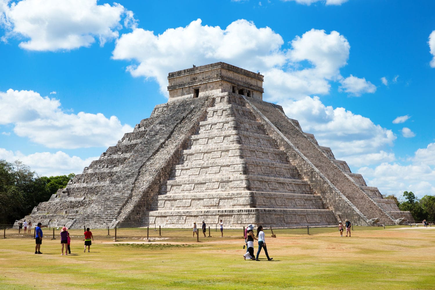
Mexico is situated in the southern portion of North America, sharing a massive land border with the United States to its north and bounded by the Pacific Ocean, the Gulf of Mexico, and the Caribbean Sea. Positioned as a vital geographic bridge connecting North and Central America, the country spans roughly 1.96 million square kilometers, making it the fifth-largest nation in the Americas by total area and the fourteenth-largest independent nation globally.
Beyond simple continental placement, Mexico occupies a unique geopolitical and environmental position. Its territory stretches across varied topography—from towering volcanic peaks and arid northern deserts to dense southern tropical lowlands. This positioning places the nation at the crossroads of major international trade networks, shaping everything from its climate diversity to its economic ties with global markets.
Absolute Coordinates and Global Position
Understanding Mexico's precise geographic footprint requires looking at its absolute location on the globe. The country lies entirely within the Northern and Western Hemispheres, bounded roughly between latitudes 14°32'N and 32°43'N, and longitudes 86°42'W and 118°27'W.
The Tropic of Cancer cuts directly across the central-northern expanse of Mexico, dividing the nation into distinct climatic zones. Areas north of this imaginary line experience temperate conditions with cooler winters, while regions to the south remain firmly tropical. This latitudinal spread creates distinct ecological zones:
- Northern Plateaus and Deserts: High-altitude arid and semi-arid terrain experiencing significant daily temperature swings.
- Central Highlands: Elevated basins featuring mild year-round temperatures and fertile volcanic soils.
- Southern Lowlands: Humid tropical ecosystems characterized by dense rainforests and high annual precipitation.
To verify global positioning standards, consult the CIA World Factbook on Mexico for official territorial metrics and boundary data.
Land Borders and International Neighbors
Mexico shares its land boundaries with three sovereign nations to its north and south, creating complex regional dynamics:
- United States: The northern border spans approximately 3,145 kilometers (1,954 miles), stretching from the Pacific coast down to the Gulf of Mexico. It touches four U.S. states (California, Arizona, New Mexico, and Texas) and six Mexican states (Baja California, Sonora, Chihuahua, Coahuila, Nuevo León, and Tamaulipas).
- Guatemala: Situated to the southeast, this border measures about 956 kilometers through mountainous terrain and tropical forests.
- Belize: A much shorter southeastern border of roughly 250 kilometers runs along the Yucatán Peninsula.
The shared border with the United States represents one of the most heavily crossed international land boundaries in the world. Millions of legal pedestrian and vehicular crossings occur daily at ports of entry like San Ysidro and El Paso, driving continuous economic integration supported by trade frameworks such as the United States-Mexico-Canada Agreement (USMCA).
Coastlines and Maritime Boundaries
Mexico's geography is heavily defined by extensive shorelines, totaling over 11,000 kilometers of coastline facing major marine bodies:
- Pacific Ocean and Gulf of California: The western and southern coasts face the open Pacific. The Gulf of California (also known as the Sea of Cortez) separates the long Baja California Peninsula from the mainland, creating a unique marine biodiversity hotspot.
- Gulf of Mexico: Bordering the eastern coast, this large basin plays a crucial role in maritime shipping, fishing, and offshore energy production.
- Caribbean Sea: The eastern edge of the Yucatán Peninsula borders the Caribbean, connecting Mexico directly to Central America and Caribbean island nations.
These extensive maritime fronts provide access to vital international shipping lanes, connecting Mexican ports like Manzanillo on the Pacific and Veracruz on the Gulf to global trade partners in Asia, Europe, and South America.
Major Geographic Regions and Topography
Mexico’s interior is dominated by rugged terrain, primarily structured around two major mountain ranges running north-to-south: the Sierra Madre Occidental in the west and the Sierra Madre Oriental in the east. These ranges flank the Mexican Plateau, an elevated central tableland where a large percentage of the population resides.
The Cordillera Neovolcanica
Also known as the Trans-Mexican Volcanic Belt, this transverse mountain range cuts across central Mexico from coast to coast. It features some of the country's highest peaks, including Pico de Orizaba, Popocatépetl, and Iztaccíhuatl. The fertile volcanic soils of this region have historically supported dense human settlement, including the capital city.
The Yucatán Peninsula
Forming the southeastern projection of the country, the Yucatán is a flat, low-lying carbonate platform. Unlike the mountainous mainland, it lacks surface rivers; instead, rainfall filters through porous limestone bedrock, creating subterranean water networks and sinkholes known as cenotes.
Common Misconceptions About Mexico's Geography
Several persistent geographical myths surround Mexico's location and classification:
- Is Mexico part of Central America? Geographically, Mexico is part of the North American continent. While its southern states share cultural and ecological traits with Central America, the country as a whole belongs to North America.
- Is all of Mexico tropical? Many assume the entire country experiences year-round tropical heat. In reality, over half of Mexico lies north of the Tropic of Cancer, and high-altitude areas like Mexico City experience cool or chilly winters.
- Does Mexico share a land border with South America? No. Colombia is the closest South American neighbor across maritime boundaries, but Panama sits between North/Central America and South America.
Frequently Asked Questions
What continent is Mexico located on?
Mexico is located on the North American continent. It forms the southern anchor of the continent before transitioning into Central America.
Which countries border Mexico directly?
Mexico shares land borders with three countries: the United States to the north, and Guatemala and Belize to the southeast.
Does Mexico have coastlines on both oceans?
Yes. Mexico features extensive western and southern coastlines along the Pacific Ocean and eastern coastlines along the Gulf of Mexico and the Caribbean Sea.
How long is the US-Mexico border?
The international land boundary between the United States and Mexico measures approximately 3,145 kilometers (1,954 miles long).



