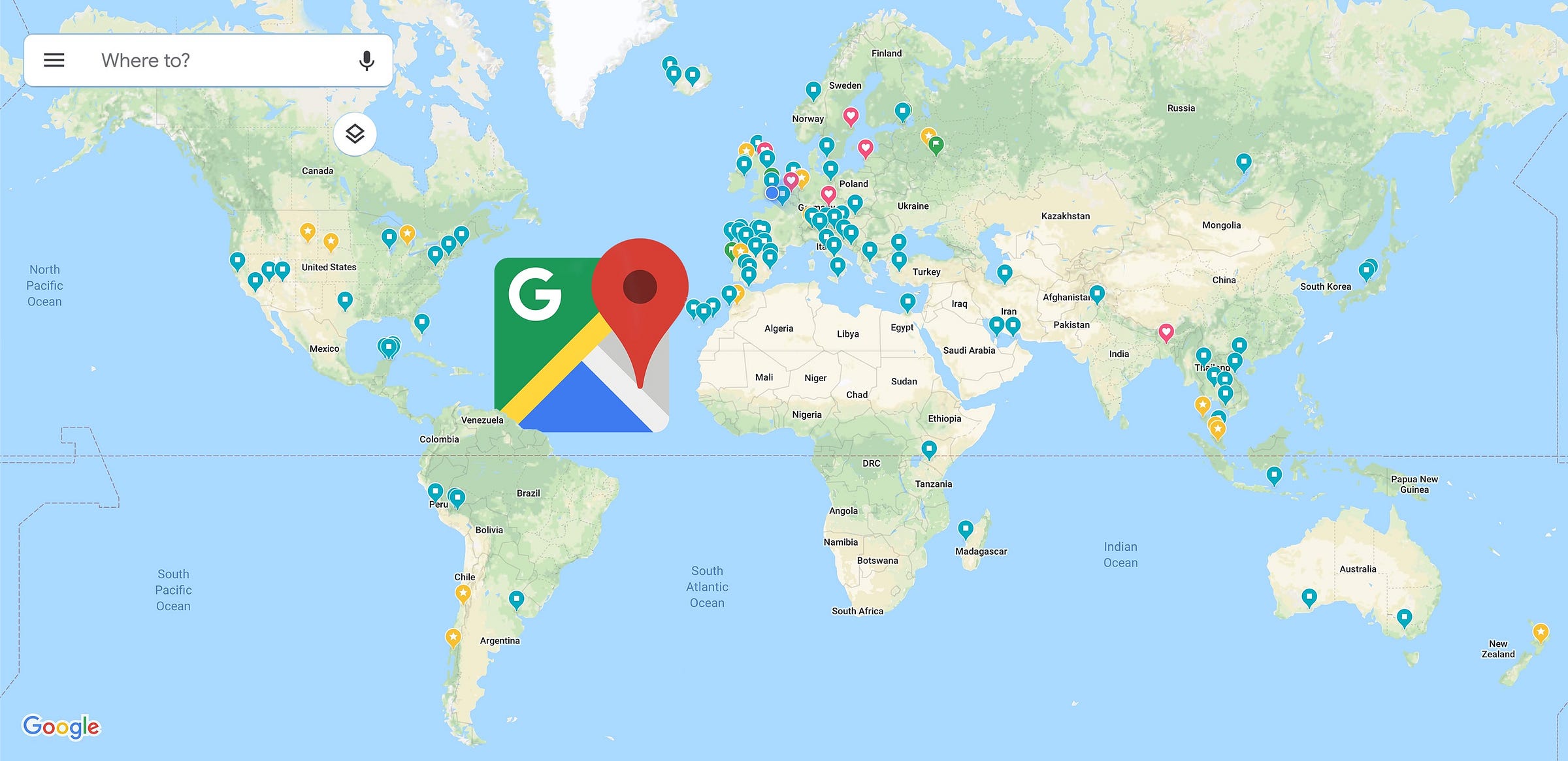
Finding Indonesia on a world map means looking at the intersection of Southeast Asia and Oceania, where thousands of islands scatter across the warm tropical waters between two major continents. It's the largest archipelagic nation on Earth, stretching across an immense maritime territory that bridges the Indian and Pacific Oceans. If you look just north of Australia and south of the Malay Peninsula, you'll spot this vast island chain spanning across three distinct time zones.
The country occupies a unique geographic position that has shaped its history, climate, and culture for centuries. Straddling the equator, Indonesia comprises more than 17,000 islands, though exact counts fluctuate depending on tidal measurements and official definitions. Only a fraction of these islands are permanently inhabited, yet together they form a massive cultural and ecological bridge between the Asian mainland and the Australian continent.
Exact Coordinates and Regional Positioning
Astronomically, Indonesia sits between $6^\circ\text{N}$ and $11^\circ\text{S}$ latitude, and $95^\circ\text{E}$ and $141^\circ\text{E}$ longitude. Because the equator cuts right through the middle of the archipelago, the country experiences a tropical climate year-round with distinct wet and dry seasons rather than traditional four-season changes.
To pinpoint it quickly on a standard political map:
- Locate the southeastern corner of Asia, right past Malaysia and Singapore.
- Trace your finger downward toward the northern coast of Australia.
- Look in the vast blue expanse of water separating the South China Sea, the Indian Ocean, and the western Pacific.
This positioning places Indonesia at the center of critical global shipping lanes, making its waters historically vital for international trade.
Major Island Groups and Key Landmasses
Because the nation is so spread out, geographers divide Indonesia into major island clusters. Understanding these regions makes reading a map of the country much easier.
The Greater Sunda Islands
This group contains the four largest islands in the country. Java is the political and economic core, home to the capital city of Jakarta and over half the national population. Sumatra lies to the west, stretching toward the Indian Ocean near Malaysia. Borneo (known locally as Kalimantan) is shared with Malaysia and Brunei. Sulawesi sits further east with its distinct octopus-like shape.
The Lesser Sunda Islands
Running eastward from Java, this chain includes tourist-famed islands like Bali, Lombok, Flores, and Timor. They form a volcanic barrier separating the Indian Ocean from the Banda Sea.
Maluku and Western New Guinea
The Maluku Islands, historically known as the Spice Islands, sit between Sulawesi and Papua. Further east, the western half of the island of New Guinea—split with the independent nation of Papua New Guinea—marks Indonesia's furthest eastern frontier.
Land and Sea Borders
While Indonesia is defined by water, it shares direct land boundaries on three major islands:
- Malaysia: Shares a long land border on the northern island of Borneo.
- Papua New Guinea: Shares an eastern land border across the island of New Guinea.
- Timor-Leste: Shares a land border on the island of Timor.
Additionally, its expansive maritime boundaries touch ten neighboring countries, including Australia, Singapore, the Philippines, and India (via the Andaman and Nicobar Islands). You can explore detailed regional mapping via World Atlas or review official country overviews on Wikipedia.
Frequently Asked Questions
Is Indonesia part of Asia or Oceania?
Indonesia spans both regions. Its western and central islands (like Sumatra, Java, and Kalimantan) are firmly rooted in Southeast Asia, while its eastern provinces (like Papua) sit geographically within Oceania. Culturally and politically, it is classified as a Southeast Asian nation and is a core member of ASEAN.
How many islands make up Indonesia?
Official counts vary, but the Indonesian government and mapping agencies generally recognize over 17,000 islands. Only about 6,000 of these islands are inhabited.
Why is Indonesia split into three time zones?
Because the country stretches nearly 5,100 kilometers from east to west—roughly the distance from London to Baghdad—local solar times vary drastically. To manage commerce and daily life efficiently, the nation uses Western Indonesian Time (WIB), Central Indonesian Time (WITA), and Eastern Indonesian Time (WIT).
Does Indonesia experience natural disasters due to its location?
Yes. The country sits directly on the Pacific Ring of Fire, an arc of high tectonic activity where several continental and oceanic plates collide. This location gives Indonesia one of the highest concentrations of active volcanoes and frequent seismic activity in the world.



