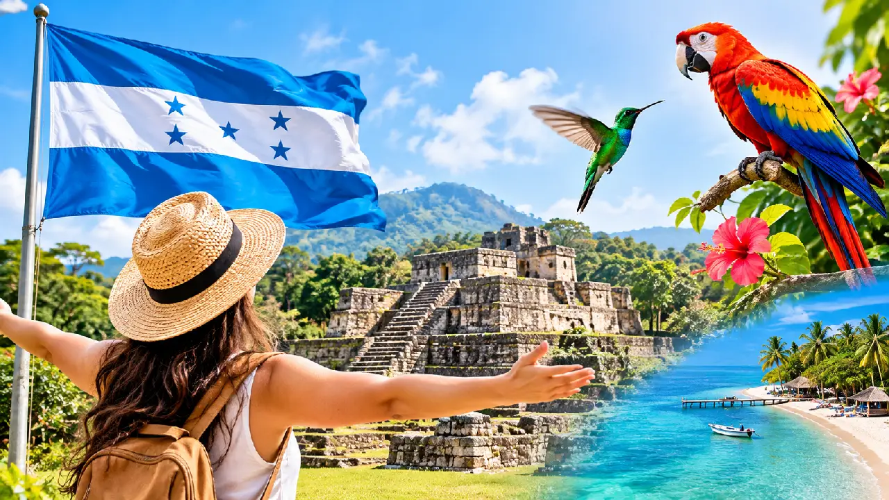
Honduras is situated in the heart of Central America, bordered by Guatemala to the west, El Salvador to the southwest, and Nicaragua to the southeast. It features a northern coastline along the Caribbean Sea and a southern outlet on the Pacific Ocean via the Gulf of Fonseca. This strategic geographic placement makes the nation a central crossroad for regional trade, biodiversity, and culture in Latin America.
Understanding where Honduras sits requires looking beyond simple borderlines. As the second-largest republic in Central America, the country covers approximately 112,777 square kilometers. Its unique topography shapes its climate, economy, and population distribution, creating a landscape that shifts dramatically from coastal mangrove swamps to rugged interior mountains.
Absolute and Relative Location
On a global map, Honduras lies entirely in the Northern and Western Hemispheres. Its coordinates anchor roughly around 15°00′ N latitude and 86°30′ W longitude. Relative to its neighbors, it serves as a geographic bridge connecting the northern and southern segments of the Central American isthmus.
The country's borders are defined by natural landforms and rivers:
- North: Washed by the warm waters of the Caribbean Sea, featuring a long coastline spanning about 700 kilometers.
- West: Shares a land boundary with Guatemala (roughly 256 kilometers) and El Salvador (roughly 342 kilometers).
- South and East: Bounded by Nicaragua along a 922-kilometer border that largely follows the course of the Coco River.
- South: Maintains a narrow 153-kilometer coastline on the Gulf of Fonseca, granting access to the Pacific Ocean.
Topography and Regional Breakdown
Unlike flat coastal nations, Honduras is heavily defined by its vertical relief. Over 80 percent of the country's terrain consists of rugged interior highlands. Mountain ranges divide the nation, creating isolated valleys and microclimates that influence where communities settle and how agriculture functions.
The Interior Highlands
The central core is a complex network of mountain ranges, peaks, and high-altitude valleys. The highest point in the country is Cerro Las Minas, reaching an elevation of 2,870 meters above sea level. Unlike neighboring countries with rich volcanic ash soils in every valley, Honduran highlands consist largely of older rock formations, though pockets of fertile soil support traditional farming. Major urban centers, including the capital city of Tegucigalpa, sit within these sheltered mountain basins.
The Caribbean Lowlands
Stretching along the northern and northeastern coasts, the Caribbean lowlands include wide alluvial plains and the expansive region known as La Mosquitia. This eastern section features dense tropical rainforests, lagoons, and marshlands. It represents one of the largest remaining contiguous areas of tropical wilderness in Central America, home to the UNESCO World Heritage Centre site of Río Plátano Biosphere Reserve.
The Pacific Lowlands and Gulf of Fonseca
In contrast to the massive northern coast, the southern Pacific footprint is compact. The lowlands surrounding the Gulf of Fonseca consist of flat plains formed by river sediment. This area experiences distinct wet and dry seasons, supporting specialized agriculture, shrimp farming, and coastal ecosystems. Several volcanic islands sit within the gulf, including El Tigre Island, which marks an iconic landmark for maritime navigation.
Climate Patterns Across the Country
Because of its tropical latitude and sharp elevation changes, Honduras experiences a wide variety of microclimates. Lowland areas along both coasts maintain high temperatures and humidity year-round, with daytime averages frequently exceeding 30 degrees Celsius.
In contrast, the interior mountain towns experience much cooler conditions. Tegucigalpa, sitting at roughly 975 meters above sea level, enjoys spring-like temperatures for much of the year. Precipitation varies significantly based on wind direction; the Caribbean slopes receive heavy rainfall throughout most months, while the interior valleys and southern plains experience a pronounced dry season from November through April.
Major Economic and Cultural Hubs
The geography of Honduras directly dictates where its population lives and how its economy operates. The two primary urban economic engines sit in very different geographic settings:
- Tegucigalpa: Located in a rugged southern mountain valley, it functions as the political, administrative, and cultural capital.
- San Pedro Sula: Situated in the fertile Sula Valley in the northwest, it serves as the nation's industrial, commercial, and manufacturing heartland.
- La Ceiba: Positioned directly on the Caribbean coast, this port city acts as a major tourism gateway, particularly for travelers heading to the nearby Bay Islands like Roatán.
Frequently Asked Questions
Is Honduras part of North America or South America?
Honduras is geographically located in Central America, which forms the southernmost land bridge of the North American continent.
What is the highest point in Honduras?
The highest peak is Cerro Las Minas, also known locally as Pico Celaque, towering 2,870 meters above sea level in the western department of Lempira.
Does Honduras have coastlines on both oceans?
Yes. It features an extensive coastline along the Caribbean Sea to the north and a shorter coastline along the Gulf of Fonseca opening to the Pacific Ocean to the south.
What countries share a border with Honduras?
Honduras shares land borders with three nations: Guatemala to the west, El Salvador to the southwest, and Nicaragua to the southeast and east.



