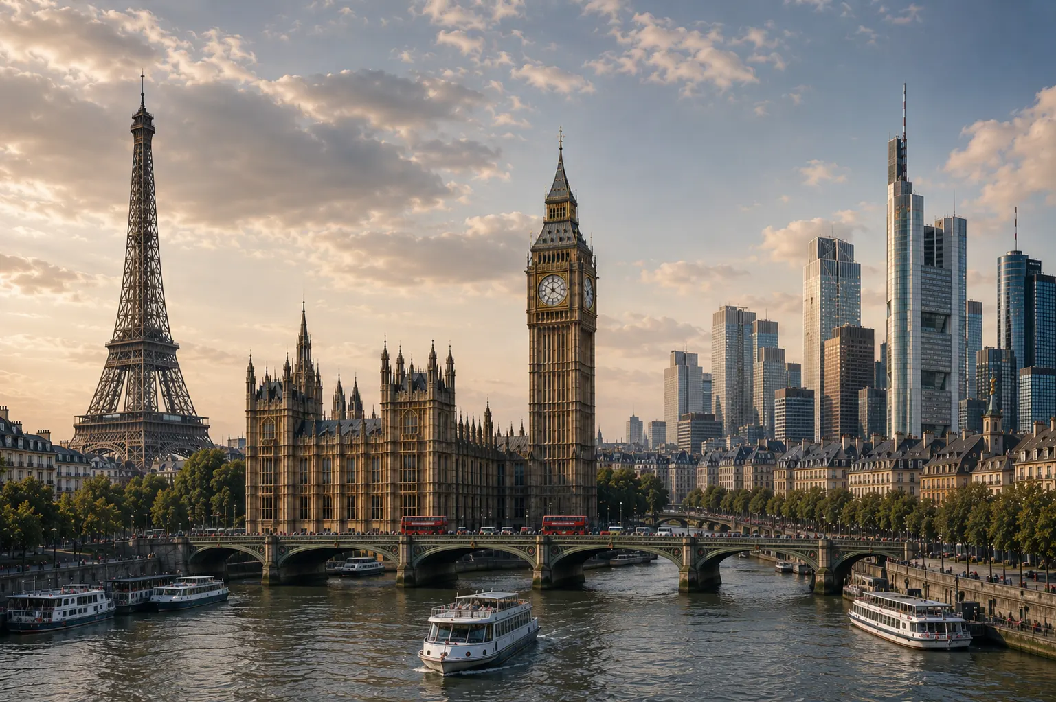
Europe is located entirely within the Northern Hemisphere and primarily in the Eastern Hemisphere, forming the western projection of the giant Eurasian landmass. It is bordered by the Arctic Ocean to the north, the Atlantic Ocean to the west, and the Mediterranean Sea, Black Sea, and Caspian Sea to the south. Rather than being entirely surrounded by water like an isolated island, Europe merges seamlessly into Asia to the east, creating a unique geographic puzzle where continental boundaries are defined more by history and culture than by deep oceanic trenches.
Understanding where Europe sits requires looking at both its physical boundaries and its historical identity. It spans roughly 10.18 million square kilometers, making it the second-smallest continent by land area after Oceania, yet it packs immense geographic and cultural diversity into a relatively compact space.
The Physical Borders of Europe
Defining Europe's precise borders is an exercise in human convention rather than strict plate tectonics. The continent shares a massive continental plate with Asia, meaning the division between the two is largely historical.
To the west and north, the boundaries are unmistakable. The rocky coasts of Ireland, Portugal, and Iceland face the open expanse of the Atlantic Ocean, while Norway and northern Russia look out onto the freezing waters of the Arctic. To the south, the Mediterranean Sea acts as a deep blue moat separating European shores from North Africa, while the Aegean and Black Seas carve paths toward the east.
The eastern frontier is where geography gets complex. Convention places the boundary along several major physical landmarks:
- The Ural Mountains in Russia, which run roughly north-south.
- The Ural River, flowing south into the Caspian Sea.
- The Caucasus Mountains, situated between the Black Sea and the Caspian Sea, separating southeastern Europe from Western Asia.
- The Bosporus and Dardanelles straits in Turkey, which connect the Black Sea to the Mediterranean.
Countries like Russia, Turkey, Kazakhstan, and Georgia straddle this border, possessing territory in both Europe and Asia. For more details on global cartography standards, you can review resources provided by National Geographic.
Why Europe is Considered a Separate Continent
From a strictly geological standpoint, Europe isn't a continent at all. It is a massive peninsula jutting off the western side of the Eurasian supercontinent. If geologists classified continents purely by tectonic plates or isolated landmasses, Europe and Asia would be grouped together as Eurasia.
So why do we treat Europe as its own continent? The answer lies in history, culture, and human perception. The ancient Greeks were among the first to divide the known world into distinct regions—Europe, Asia, and Libya (Africa)—using the Aegean Sea and the Don River as dividing lines. Over centuries, European civilizations developed distinct political systems, languages, legal traditions, and religious identities that set them apart from neighboring regions in Asia and the Middle East.
Major Geographic Regions Within Europe
Europe's landscape is famously varied, packed into a relatively small area. Geographers typically break the continent down into four major regions, each with distinct terrain and climate patterns:
- Northern Europe: Encompassing Scandinavia, the Baltic states, and the British Isles, this region features rugged highlands, dramatic glacial fjords in Norway, and vast pine forests.
- Western Europe: Home to countries like France, Germany, and the Low Countries, this area is dominated by the Great European Plain, a fertile agricultural belt that stretches from France deep into Eastern Europe.
- Southern Europe: Defined by major peninsulas—the Iberian, Italian, and Balkan peninsulas—this region features a warm Mediterranean climate, rugged mountain ranges like the Apennines and Pyrenees, and deep blue coastal waters.
- Eastern Europe: Stretching from Poland and Ukraine across the vast expanse of European Russia, this region features expansive flat steppes, rolling plains, and continental weather extremes with cold winters and warm summers.
How History Shaped European Borders
Geography sets the stage, but history draws the lines. Europe's political map has shifted dramatically over the last two millennia through wars, treaties, the collapse of empires, and peaceful integrations.
Following the fall of the Roman Empire, Europe fractured into hundreds of feudal fiefdoms, city-states, and kingdoms. The modern nation-state model didn't truly emerge until the 17th and 19th centuries, solidified by events like the Peace of Westphalia and the redrawing of borders after World War I and World War II.
In the latter half of the 20th century, European nations sought to prevent future conflicts by binding their economies and laws together. This led to the creation of institutions like the European Union, which currently coordinates policies across 27 member states, creating open borders and shared economic regulations across much of the continent.
Common Misconceptions About European Geography
When studying Europe's location and boundaries, people frequently run into a few persistent myths:
- Mistake 1: Assuming Iceland is in North America. While Iceland sits on the Mid-Atlantic Ridge right between the North American and Eurasian tectonic plates, it is culturally, politically, and historically integrated with Europe.
- Mistake 2: Treating the Ural Mountains as an impenetrable wall. The Urals are old, heavily eroded mountains rather than jagged, impassable peaks. They rarely exceed 1,800 meters in height, making them easy to cross by road and rail.
- Mistake 3: Believing Cyprus is in Europe. Geographically located in the eastern corner of the Mediterranean Sea just south of Turkey, the island of Cyprus is physically in Western Asia, though it maintains deep political and cultural ties with the European Union.
Frequently Asked Questions
Is Russia part of Europe or Asia?
Russia spans both continents. Roughly 75 percent of Russia's landmass lies in Asia (Siberia), but about 25 percent lies west of the Ural Mountains in Europe. Because the majority of Russia's population lives in the European sector, it is historically and culturally tied to Europe while maintaining a massive Eurasian identity.
What is the highest mountain in Europe?
Mount Elbrus, located in the Caucasus mountain range in southern Russia, is widely considered the highest peak in Europe, standing at 5,642 meters (18,510 feet). If you exclude the Caucasus region and count only the Alps, Mont Blanc is the highest peak at 4,807 meters.
Why isn't Europe considered a separate tectonic plate?
Tectonic plates do not align neatly with traditional continents. Europe sits primarily on the Eurasian Plate, but parts of it interact with the North American plate (in Iceland) and the African plate further south. Continents are defined more by cultural, historical, and physical boundaries than by rigid tectonic boundaries.
How many countries are in Europe?
Depending on how you count transcontinental nations and disputed territories, there are roughly 44 to 50 sovereign countries recognized within the geographical boundaries of Europe today. The United Nations recognizes 44 European countries.



