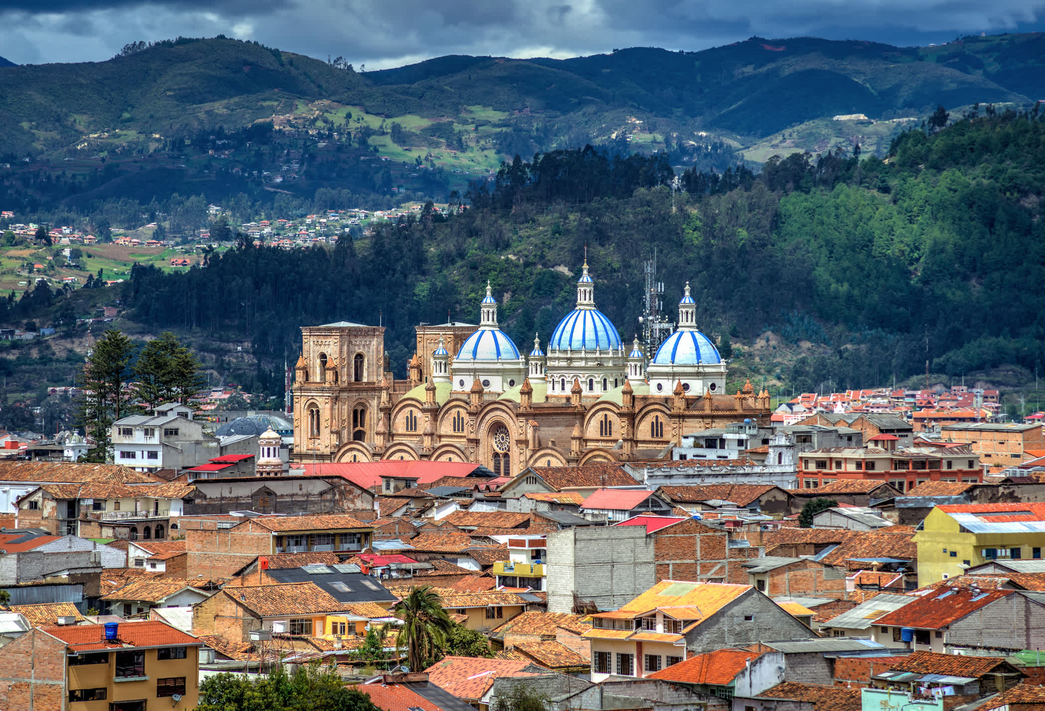
Ecuador sits squarely on the northwestern coast of South America, flanked by the Pacific Ocean to the west. Named after the Equator line that cuts straight across its mainland, the country bridges two massive geographic features: the towering Andean cordillera and the dense Amazon basin. It covers an area of roughly 283,561 square kilometers, making it compact compared to its continental neighbors yet remarkably diverse.
If you're looking at a map of South America, you'll find Ecuador wedged between two larger nations. Colombia borders it to the north, while Peru wraps around its eastern and southern borders. Despite its small footprint, its unique location creates four distinct geographical zones that range from sea-level coastal beaches to volcanic peaks rising past 6,000 meters.
The Four Geographic Regions of Ecuador
Ecuador divides itself into four distinct zones, each defined by elevation, climate, and topography. Understanding these regions explains why you can experience alpine frost, tropical jungle, and ocean surf all within a single day of travel.
La Costa (The Coastal Lowlands)
Stretching from the foothills of the Andes to the Pacific shoreline, the Costa features fertile agricultural plains, mangrove swamps, and dry tropical forests. Major rivers like the Guayas flow through this region into the Gulf of Guayaquil, powering the country's primary commercial port city, Guayaquil. The coastal climate stays warm year-round, influenced heavily by Pacific ocean currents.
La Sierra (The Andean Highlands)
The Sierra forms the mountainous spine of the country, running north to south. Two parallel volcanic mountain ranges—the Western Cordillera and Eastern Cordillera—enclose a high-altitude central valley known as the hoya.
- Quito: The national capital sits in an Andean valley at an elevation of 2,850 meters (9,350 feet).
- Chimborazo: Ecuador's highest peak reaches 6,268 meters (20,560 feet). Because of the Earth's equatorial bulge, its summit sits furthest from the center of the Earth.
- Cotopaxi: One of the world's highest active volcanoes, known for its near-perfect symmetrical snow-capped cone.
El Oriente (The Amazon Basin)
East of the Andean peaks, the terrain drops sharply into the Amazon rainforest, locally called the Oriente. This sparsely populated region covers a massive portion of the country's total land area. Dense jungle, winding tributaries like the Napo River, and rich biodiversity characterize this humid basin. Indigenous communities have inhabited these riverbanks for centuries, managing ecosystems that feed directly into the Amazon River system.
The Galápagos Islands
Located roughly 1,000 kilometers (620 miles) west of the mainland in the Pacific Ocean, the Galápagos archipelago forms Ecuador's fourth official region. These 19 volcanic islands emerged from the ocean floor independently, creating an isolated habitat for evolutionary species found nowhere else on Earth.
Ecuador's Borders and Territorial Reach
Ecuador shares land boundaries totaling 2,237 kilometers. The northern boundary with Colombia runs for 708 kilometers, while the extensive southern and eastern boundary with Peru spans 1,529 kilometers.
Beyond the mainland, the nation exercises sovereign control over an expansive exclusive economic zone in the Pacific. This maritime territory extends far past the coastline to safeguard marine life around the Galápagos and secure coastal fisheries. You can review official territorial maps through resources maintained by the Instituto Geográfico Militar.
Climate Patterns Driven by Elevation
Latitude doesn't dictate Ecuador's weather; altitude does. Because the country sits directly on the Equator, day length remains uniform throughout the year. Temperatures drop roughly 2°C for every 300 meters you climb.
- The Coast: Warm and humid, featuring distinct rainy seasons from January to April.
- The Highlands: Spring-like temperatures during the day, dropping sharply at night. Microclimates shift rapidly between rain showers and bright sun.
- The Amazon: Hot, humid, and wet year-round with frequent tropical downpours.
Frequently Asked Questions
What is the exact capital of Ecuador?
Quito serves as the constitutional capital and center of government. It holds the distinction of being the second-highest administrative capital in the world after La Paz, Bolivia.
Does the Equator actually run through Ecuador?
Yes. The country derives its name from the Spanish word for Equator (Ecuador). A major monument known as the Mitad del Mundo stands just north of Quito, marking the approximate path of the line.
How do travelers get to the Galápagos Islands?
Reaching the archipelago requires booking a commercial flight from mainland airports in either Quito or Guayaquil. Flights land on Baltra Island or San Cristóbal Island. To explore current travel regulations and conservation fees, consult the Galápagos National Park Directorate.
What currency does Ecuador use?
Ecuador adopted the United States Dollar as its official currency in 2000, replacing the Ecuadorian sucre to stabilize high inflation rates.



