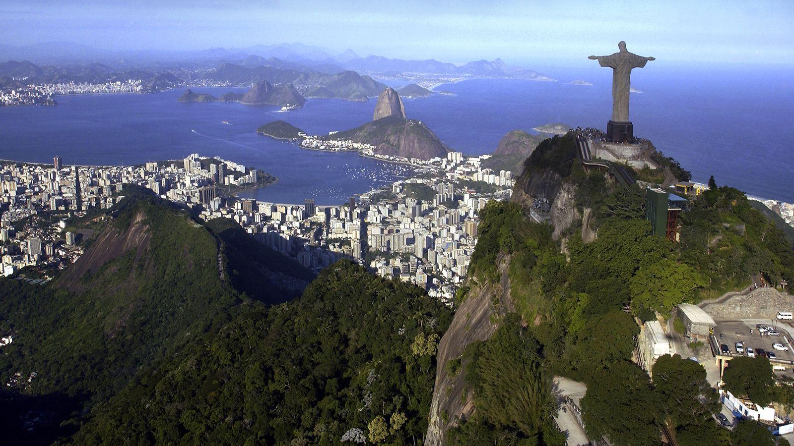
Brazil occupies roughly half of South America, making it the largest nation on the continent by a wide margin. It covers 8.5 million square kilometers, spans four distinct time zones, and shares land borders with nearly every country on the continent except Chile and Ecuador.
If you're looking for exact continental placement, Brazil sits entirely within the Western Hemisphere. The equator crosses its northern territory, while the Tropic of Capricorn cuts through its southern region, placing most of the country in the Southern Hemisphere and within tropical climate zones.
Continental Context and Global Position
Brazil sits on the South American continent, bounded by the Atlantic Ocean to the east. It's the fifth-largest country in the world by land area, trailing only Russia, Canada, China, and the United States.
Beyond the mainland, Brazil includes several Atlantic island groups, such as Fernando de Noronha, located about 350 kilometers off the northeastern coast. This vast geographic span creates massive ecosystem diversity, stretching from dense tropical rainforests to semi-arid scrublands and expansive wetlands.
Bordering Nations and Strategic Location
Brazil shares land boundaries totaling nearly 17,000 kilometers with ten South American countries and territories. This central continental position makes Brazil a geopolitical and economic anchor in the region.
- North: Venezuela, Guyana, Suriname, and the French overseas department of French Guiana.
- West: Colombia, Peru, and Bolivia.
- Southwest: Paraguay and Argentina.
- South: Uruguay.
These shared borders facilitate massive trade networks, cross-border energy grids, and complex environmental agreements, particularly regarding the Amazon basin.
The Five Geographic Regions
The Brazilian Institute of Geography and Statistics divides the country into five distinct administrative and geographical regions. Each zone features unique terrain, climate patterns, and economic profiles.
Northern Region
The North is Brazil's largest region, covering nearly 45 percent of the national territory. It's dominated by the Amazon basin, home to the Amazon River—the world's largest river by water volume. This region features dense tropical rainforests, low population density, and major economic hubs like Manaus.
Northeast Region
The Northeast is characterized by warm coastal beaches and an interior semi-arid zone known as the sertão. This area experiences irregular rainfall patterns and long historical droughts, shaping a distinct regional culture, agriculture, and music style.
Central-West Region
At the heart of the country lies the Central-West, featuring the Brazilian Highlands and the Pantanal, the world's largest tropical wetland area. This region has transformed into Brazil's agricultural powerhouse, producing massive yields of soybeans, corn, and beef.
Southeast Region
The Southeast is the economic engine of the nation, housing major metropolitan centers like São Paulo and Rio de Janeiro. It features rugged terrain, mountain ranges like the Serra do Mar, and dense populations that drive industrial and financial sectors.
Southern Region
The South is the smallest geographic region, known for its cooler subtropical climate, rolling plains called pampas, and European immigrant heritage. Agriculture, wine production, and manufacturing drive the local economy here.
Topography and Extreme Points
Brazil's landscape lacks towering mountain ranges like the Andes, but it features a complex mix of plateaus, highlands, and massive river basins.
The highest point in the country is Pico da Neblina, standing at 2,994 meters near the Venezuelan border in the Amazon rainforest. The lowest point is the Atlantic coastline at sea level. The country's interior is dominated by the Brazilian Highlands, which slope gradually toward the Atlantic and drop sharply in the south and east.
Frequently Asked Questions
What continent is Brazil in?
Brazil is located in South America. It is the largest country on the continent, covering nearly 47 percent of its total landmass.
Does Brazil span more than one hemisphere?
Yes. Because the equator passes through northern Brazil and the Tropic of Capricorn cuts through the south, the country spans both the Northern and Southern Hemispheres. However, the vast majority of its territory lies south of the equator.
Which countries do not border Brazil?
Only two South American nations share no land border with Brazil: Chile and Ecuador. All other independent nations on the continent touch Brazilian territory.
What is the longest river in Brazil?
The Amazon River is the longest and largest river in Brazil. It discharges more water than the next seven largest rivers in the world combined. For more details on global river systems, you can check resources from the USGS Water Science School.



