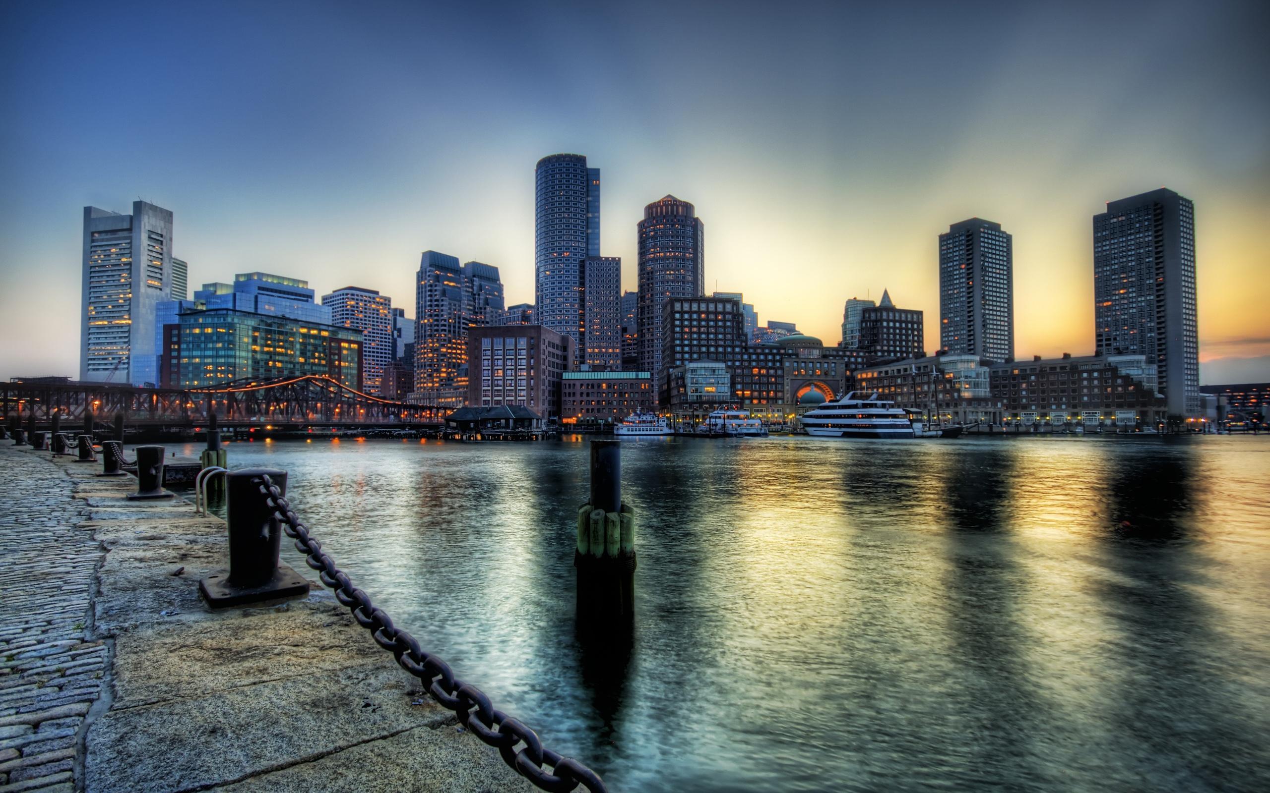
Boston is located in the northeastern United States as the capital and most populous city of Massachusetts, positioned centrally along the eastern seaboard within the six-state region known as New England. Geographically, the city sits on a peninsula on Massachusetts Bay at latitude 42.3601 degrees north and longitude 71.0589 degrees west. It anchors the Greater Boston metropolitan area, which spans eastern Massachusetts and parts of New Hampshire, functioning as the primary economic, historical, and cultural core of the region.
Finding the exact heart of Boston requires looking at both its physical boundaries and its functional hubs. While downtown Boston houses the historic core around the Freedom Trail, the wider metropolitan area extends across multiple surrounding counties and hugs the mouths of the Charles and Mystic rivers. This guide breaks down the precise geographic positioning, regional relationships, neighborhoods, and transit links that define where Boston stands today.
Geographic Coordinates and Regional Positioning
To pinpoint Boston on a map, you need to look at its coastal placement relative to other major northeastern hubs. It sits roughly 215 miles northeast of New York City and about 400 miles northeast of Washington, D.C. Within New England, Boston occupies a strategic coastal notch that historically made it a natural gateway for transatlantic shipping and trade.
- Latitude and Longitude: 42.3601° N, 71.0589° W
- State: Massachusetts (Suffolk County seat)
- Region: New England (eastern seaboard of the United States)
- Coastal Access: Bordered by Boston Harbor, Massachusetts Bay, and the Atlantic Ocean
The city's topography is unique. Much of modern downtown and the Back Bay district rests on land reclamation projects executed during the 19th century, where tidal flats and coves were filled in to expand the original Shawmut Peninsula.
The New England Connection
People often ask where Boston is in relation to New England, sometimes confusing the city with the region itself. New England is a six-state territory comprising Massachusetts, Rhode Island, Connecticut, Vermont, New Hampshire, and Maine. Boston serves as the undisputed cultural and economic capital of this entire area.
When travelers look for the heart of New England, they invariably land in Boston because the city concentrates the region's major universities, medical centers, and historical landmarks. From Boston, travelers can reach every other New England state within a two-to-three-hour drive, making it the ultimate base camp for exploring the northeast.
Navigating Boston: Key Neighborhoods and Districts
Boston is famously compact, often called a walking city, but its neighborhoods have distinct personalities and geographic boundaries. Understanding where you are within the city depends on recognizing these core districts:
Downtown and the Financial District
Located near the harbor, this area contains the oldest commercial streets alongside modern skyscrapers. It's where you'll find the historic Faneuil Hall Marketplace and Boston Common. If you are looking for colonial history alongside modern commerce, this is the epicenter.
Back Bay and Beacon Hill
West of downtown, Back Bay features a grid of Victorian brownstones and high-end shopping along Newbury Street. Directly north sits Beacon Hill, characterized by narrow gaslit streets, brick sidewalks, and the Massachusetts State House.
Cambridge and Across the River
Though legally a separate city, Cambridge sits directly across the Charles River and functions as an extension of Boston's urban core. It houses Harvard University and the Massachusetts Institute of Technology (MIT). Crossing the Longfellow or Harvard bridges takes you seamlessly from Boston proper into this academic powerhouse.
Getting There: Major Transit Infrastructure
Pinpointing Boston geographically is only half the battle; knowing how to reach its core is essential for travelers and commuters alike.
- Air Travel: Boston Logan International Airport sits directly across the harbor in East Boston, connected to downtown via tunnels and the MBTA Blue Line.
- Rail Service: South Station and North Station serve as the city's primary rail terminals. Amtrak's Northeast Corridor connects Boston directly to Providence, New York, Philadelphia, and Washington, D.C.
- Public Transit: The Massachusetts Bay Transportation Authority, locally known as "The T," operates the oldest subway system in the United States, stitching together the urban core and surrounding suburbs.
Common Mistakes When Locating Boston
Visitors and newcomers often make a few predictable errors when trying to navigate or map the Boston area:
- Confusing Boston proper with Greater Boston. Towns like Cambridge, Brookline, and Somerville feel like neighborhoods of Boston but operate under independent municipal governments.
- Assuming walking across town takes all day. Because Boston is geographically small—only about 89 total square miles, with land area under 50 square miles—you can walk from the Public Garden to the Waterfront in under thirty minutes.
- Relying on a car for downtown navigation. The city's winding colonial-era street grid doesn't follow a standard grid pattern, making public transit or walking far more efficient than driving.
Frequently Asked Questions
What state is Boston in?
Boston is the capital and largest city in the state of Massachusetts.
Is Boston considered part of New York?
No. Boston is located in Massachusetts, approximately 215 miles northeast of New York City. They are distinct cities in different states, though both sit in the northeastern megalopolis.
What body of water borders Boston?
Boston is bordered by Boston Harbor, which opens into Massachusetts Bay and the Atlantic Ocean. The Charles River also forms a major geographic boundary along the city's western and northern edges.
How far is Boston from the ocean?
Boston sits directly on the Atlantic coastline. Parts of the city, such as the Waterfront and East Boston, have direct ocean access and working maritime ports.


