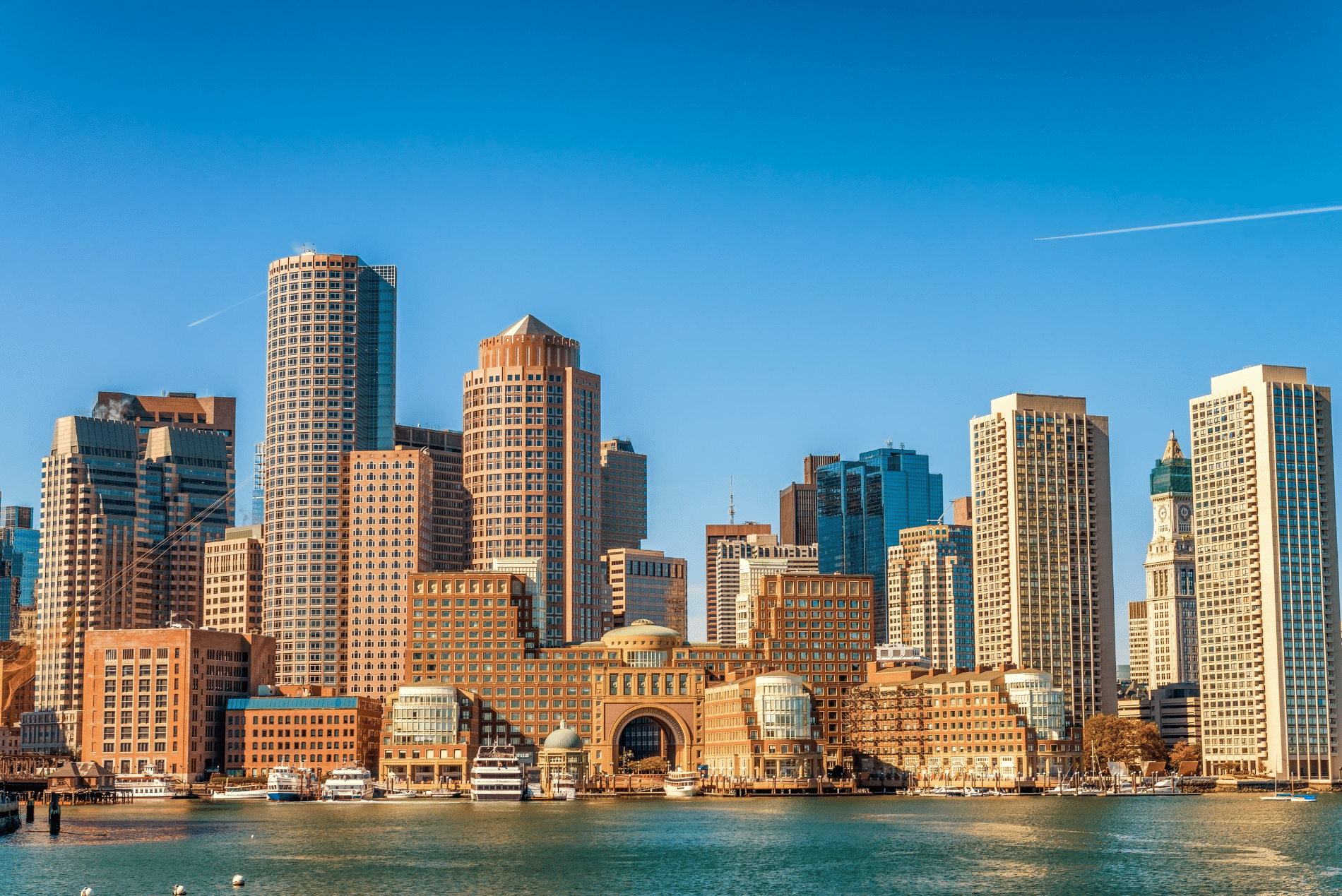
Where is Boston located? If you look at a map of the United States, Boston sits in the northeastern corner of the country, serving as the vibrant capital and most populous municipality of Massachusetts. Positioned directly along Massachusetts Bay, which is a major inlet of the Atlantic Ocean, the city acts as the economic and cultural anchor of the six-state New England region. Its precise coordinates anchor it at approximately 42.3601 degrees North and 71.0589 degrees West, making it a critical coastal hub for trade, education, and migration since the early seventeenth century.
Beyond basic coordinates, Boston's physical location shaped its destiny as a historic crossroads. The city developed around a natural protected harbor, bounded by the Charles River and the Mystic River. This coastal geography allowed colonial settlers to establish maritime commerce lanes that connected the New World directly to Europe and the Caribbean. Today, that exact positioning places Boston within a dense northeastern corridor, roughly 215 miles northeast of New York City and 400 miles northeast of Washington, D.C., keeping it closely linked to the broader American megalopolis.
The Physical Landscape and Topography
Boston's contemporary landmass looks drastically different than it did when Puritan colonists arrived in 1630. Originally, the settlement occupied a small, hilly trimountaine peninsula—known as Shawmut—connected to the mainland by a narrow strip of land called Boston Neck. Over centuries of aggressive land reclamation and civil engineering, developers filled in surrounding tidal flats, coves, and marshes. This expansion doubled the city's original dry-land acreage, absorbing areas like the Back Bay and South End into a unified urban grid.
The regional topography features rolling coastal terrain, shaped by ancient glacial activity. Drumlins rise throughout the metropolitan area, creating notable high points like Bunker Hill in Charlestown and Dorchester Heights. Water remains an omnipresent feature of the landscape. The Charles River forms a deep basin separating Boston from Cambridge, while Boston Harbor opens outward into the Atlantic, dotted by a protected chain of harbor islands.
Geographic Hub of New England Innovation
Location dictates economic gravity, and Boston's position at the heart of New England propelled its evolution into a global center for technology and higher education. The surrounding metropolitan area houses some of the world's most influential research institutions, including Harvard University and the Massachusetts Institute of Technology, both situated just across the river in Cambridge. This dense concentration of academic talent creates a continuous pipeline of scientific breakthroughs and commercial ventures.
The city's geography also fostered a unique cluster effect in biotechnology, venture capital, and healthcare. Kendall Square in neighboring Cambridge earned a reputation as the most innovative square mile on earth, drawing life sciences giants and startups alike. Because the region concentrates world-class hospitals and research laboratories within a compact geographic footprint, collaboration happens rapidly. Ideas travel easily from university labs to commercial boardrooms, cementing Boston's status as a modern intellectual capital.
Cultural Crossroads and Historic Neighborhoods
History pulses through Boston's distinct neighborhoods, each retaining a unique architectural and cultural identity shaped by generations of immigrants. The North End, Boston's oldest residential community, features narrow, winding streets reminiscent of medieval European towns and stands as the historic heart of the city's Italian-American heritage. Just a short walk away, Beacon Hill showcases Federal-style row houses, gas lamps, and brick sidewalks that evoke nineteenth-century elegance.
Other neighborhoods reflect the shifting waves of global migration that transformed the city throughout the nineteenth and twentieth centuries. South Boston evolved from a working-class Irish enclave into a vibrant modern district, while Chinatown remains a central hub for Asian commerce and culture in New England. Walking the Freedom Trail connects visitors directly to these layers of history, guiding them past sixteen nationally significant historic sites, including Faneuil Hall and the Paul Revere House, within a walkable urban core.
Common Misconceptions About Boston's Geography
Visitors and out-of-state travelers often encounter a few persistent geographic confusions when navigating the region.
- Boston vs. Cambridge: Many people assume MIT and Harvard sit inside Boston proper. In reality, both world-famous universities occupy the neighboring city of Cambridge, located directly across the Charles River.
- The "Hub" Myth: While Oliver Wendell Holmes famously dubbed Boston "the hub of the solar system," locals simply call it "The Hub." This nickname originally referred to its status as the radiating center of New England's railroad and turnpike networks.
- Grid Layouts: Unlike New York or Chicago, Boston lacks a uniform grid system. Because streets largely follow old colonial cow paths and filled-in shoreline contours, navigating downtown requires patience and a good map.
- State vs. City: People frequently confuse Suffolk County boundaries with municipal limits. Boston serves as the county seat of Suffolk County, though metropolitan areas sprawl across Middlesex, Norfolk, and Essex counties.
Frequently Asked Questions
Is Boston part of New York?
No, Boston is an independent city located in Massachusetts, approximately 215 miles northeast of New York City. They are separate urban centers in different states, though both belong to the Northeast megalopolis.
What body of water borders Boston?
Boston borders Massachusetts Bay, which is an inlet of the Atlantic Ocean. The Charles River and Mystic River also flow through the metropolitan boundaries, emptying directly into Boston Harbor.
Why is Boston called Beantown?
The nickname dates back to colonial times when local cuisine heavily featured baked beans flavored with molasses, a staple derived from the triangular trade route linking New England, Africa, and the Caribbean.
How big is Boston geographically?
The city proper covers a relatively small land area of roughly 48 square miles, with a significant portion consisting of water bodies like Boston Harbor and the Charles River basin.



