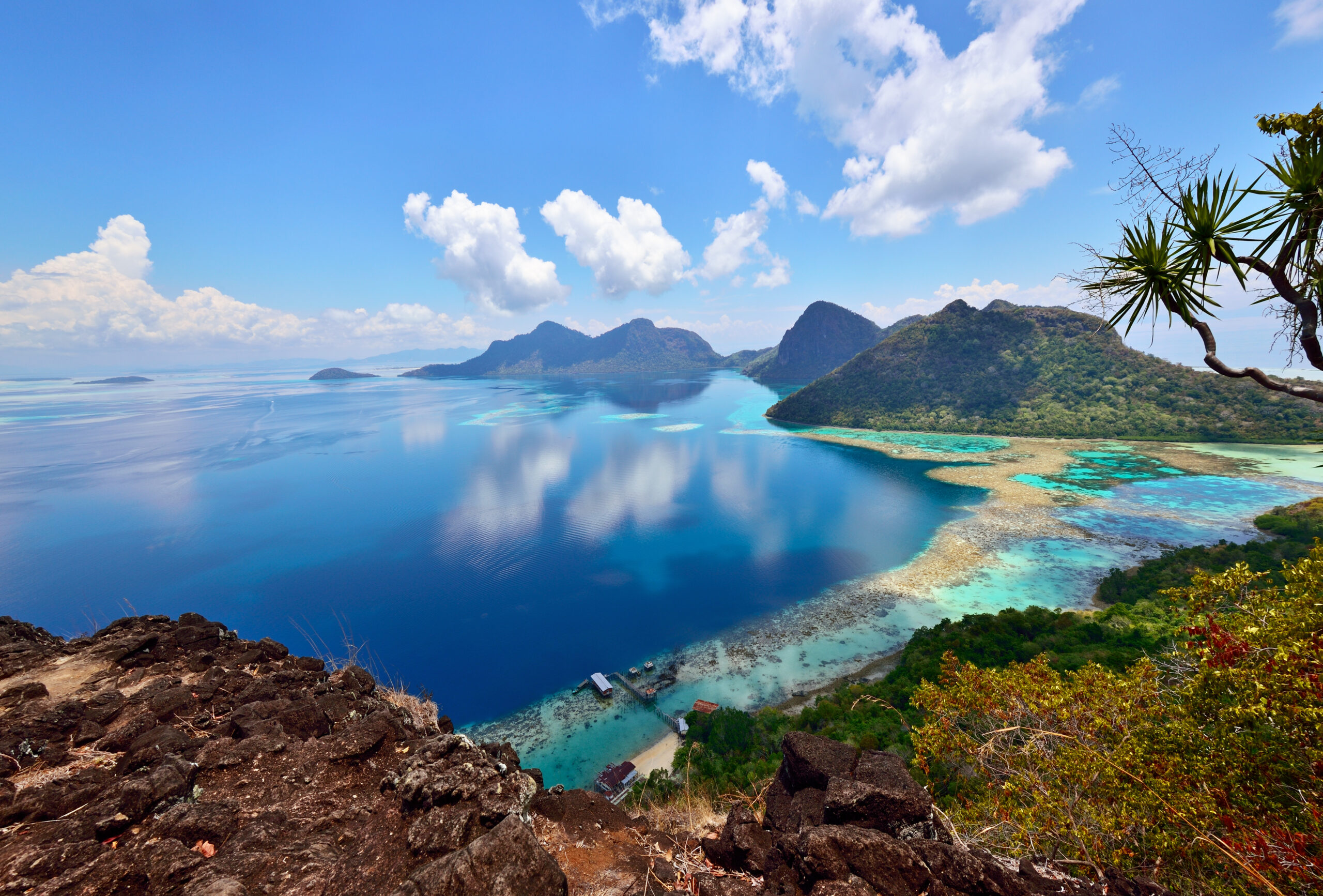
Where is Borneo located? Borneo sits in the heart of maritime Southeast Asia, positioned in the Greater Sunda Islands group of the Malay Archipelago. It holds the title of the third-largest island on Earth, surpassed only by Greenland and New Guinea. Flanked by major seas and straddling the equator, the island is uniquely divided among three distinct sovereign nations: Indonesia, Malaysia, and Brunei.
Understanding its precise position requires looking at its maritime boundaries, political divisions, and regional neighbors. Let's break down where this massive landmass sits on the global map and what defines its territory.
Surrounding Waters and Regional Position
Borneo occupies a strategic maritime location between mainland Asia and Australia, acting as a natural bridge within the Pacific and Indian Ocean shipping lanes.
Several major bodies of water define its immediate borders:
- North and Northwest: The South China Sea separates Borneo from mainland Southeast Asia and the Malay Peninsula.
- Northeast: The Sulu Sea connects the island to the southern Philippines.
- East: The Celebes Sea and the Makassar Strait separate Borneo from the neighboring island of Sulawesi.
- South and Southwest: The Java Sea stretches between Borneo and Java, the demographic and political core of Indonesia.
- West: The Karimata Strait and the Riau Archipelago sit between Borneo and Sumatra.
Because of this insular setup, the island experiences a tropical climate year-round, driven by monsoonal wind patterns flowing across the surrounding warm seas.
The Three Nations of Borneo
One of Borneo's most distinct geopolitical features is that it isn't owned by a single government. It is shared by three separate countries, an arrangement that splits the island into distinct administrative regions.
Indonesia (Kalimantan)
The southern and central regions of Borneo belong to Indonesia, a territory collectively known as Kalimantan. Encompassing roughly 73 percent of the island's total land area, Kalimantan is divided into five provinces: East Kalimantan, South Kalimantan, Central Kalimantan, West Kalimantan, and North Kalimantan. This vast expanse features dense equatorial jungles, massive winding rivers like the Kapuas, and the developing future Indonesian capital region, Nusantara.
Malaysia (Sabah and Sarawak)
The northern third of the island is governed by Malaysia, split into two federal states and one federal territory:
- Sarawak: Located in the northwest, Sarawak is Malaysia's largest state by area, known for extensive cave systems and deep river valleys.
- Sabah: Occupying the northeastern tip, Sabah features dramatic coastal mangroves and towering mountain ranges.
- Labuan: A small island federal territory off the coast of Sabah, functioning as an offshore financial hub.
Brunei Darussalam
Wedged neatly along the northern coast of Borneo between Sarawak's districts is the sovereign state of Brunei. This tiny, wealthy sultanate covers less than one percent of the island's total landmass yet maintains complete independence, operating under an absolute monarchy fueled by significant petroleum and natural gas reserves.
Topography and Equatorial Climate
Straddling the equator means Borneo experiences minimal seasonal temperature fluctuation, hovering consistently between 27°C and 32°C (80°F to 90°F) in lowland regions. Humidity remains high throughout the year, fueling ancient rainforest ecosystems that predate the Amazon basin.
The topography shifts dramatically from swampy coastal plains to rugged interior highlands. While coastal zones feature mangrove forests and peat swamps, the interior is dominated by a rugged spine of mountains. The highest point is Mount Kinabalu in Sabah, Malaysia, which towers at 4,095 meters (13,435 feet). It's the highest peak between the Himalayas and New Guinea, drawing mountaineers from across the globe.
According to the World Meteorological Organization, tropical island microclimates like Borneo's play an outsized role in regional weather stabilization and global carbon capture.
Frequently Asked Questions
Is Borneo a country?
No. Borneo is a geographical landmass—specifically an island—not a country. Its territory is divided among Indonesia, Malaysia, and Brunei.
How big is Borneo compared to other landmasses?
Covering approximately 743,330 square kilometers (288,869 square miles), Borneo is the third-largest island in the world. It is larger than countries like the United Kingdom or Germany.
What is the capital of Borneo?
Borneo does not have a single capital because it is split among multiple nations. Each region administers its territory separately through provincial capitals like Kuching (Sarawak), Kota Kinabalu (Sabah), and Banjarmasin (South Kalimantan), alongside Indonesia's newly developing capital project, Nusantara, situated in East Kalimantan.
How do you travel between the different regions of Borneo?
While roads connect major cities within the Malaysian states and Brunei, traveling overland across the Indonesian border can be rugged and restricted to specific checkpoints. Many travelers fly between coastal hubs like Kota Kinabalu, Kuching, Bandar Seri Begawan, and Balikpapan using regional carriers such as Malaysia Airlines.



