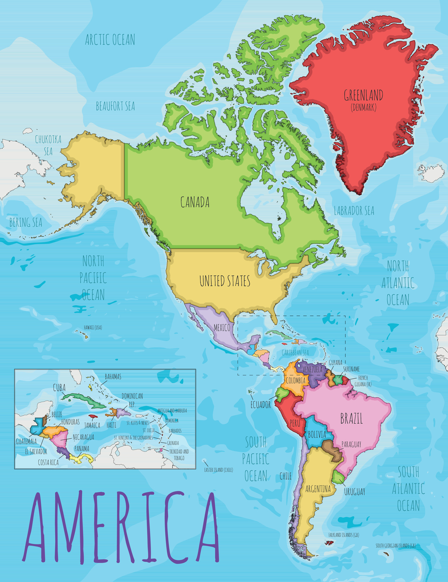
Baltimore sits in north-central Maryland, positioned roughly 40 miles northeast of Washington, D.C. and about 100 miles south of Philadelphia. Anchored to the head of the Patapsco River estuary where it empties into the massive Chesapeake Bay, the city functions as a vital coastal and economic hub. Its location puts it right at the northern edge of the American South's cultural borderlands and the southern anchor of the Northeast megalopolis.
Understanding where Baltimore sits on a map means looking past simple state borders. The city operates as an independent entity, completely separate from the surrounding Baltimore County. This unique political boundary shapes everything from local taxation to school districts. Yet, its geographic reality is tied directly to water, transit corridors, and its position inside the sprawling Baltimore-Washington combined statistical area.
The Mid-Atlantic Positioning and Corridor Dynamics
Geography dictates that Baltimore acts as a bridge between distinct American regions. It shares the industrial grit of Rust Belt cities and the maritime heritage of coastal ports, while sitting squarely within the Mid-Atlantic zone.
- The Northeast Megalopolis: Baltimore is an essential link in the rail and highway chain connecting Boston, New York, Philadelphia, and Washington, D.C.
- Proximity to the Capital: Being less than an hour away from Washington shapes the local economy, federal contracting footprint, and commuter patterns.
- Access to the Interior: The city's port sits further inland than most other major East Coast ports, giving it a natural logistical advantage for shipping goods directly toward the Midwest.
The Maryland Manual On-Line provides deep archives on how these geographic boundaries evolved over centuries of state development.
The Waterfront and Industrial Geography
Water defines Baltimore's layout. The Patapsco River breaks into multiple branches, creating a deep natural harbor that spawned historic neighborhoods like Fells Point and Federal Hill.
Unlike inland cities that expanded radially in every direction, Baltimore's physical growth was constrained by water and political boundaries. The 1851 separation from Baltimore County locked the city's land area at roughly 92 square miles, forcing it to grow vertically and densely rather than sprawling outward like its southern and western counterparts.
- The Inner Harbor: Once a gritty commercial shipping zone, its 1980s revitalization turned it into a benchmark for waterfront urban renewal.
- The Port of Baltimore: Spanning major terminals like Tradepoint Atlantic, it remains a powerhouse for handling imported automobiles, heavy machinery, and bulk cargo.
- Neighborhood Grid Systems: Row homes dominate the landscape, built tightly together to house generations of industrial workers near the waterfront and rail yards.
Cultural Identity Forged by Geography
A city's physical coordinates shape its cultural footprint. Baltimore's identity is working-class, distinct from the polished federal marble of D.C. and the corporate polish of New York. It earned the nickname "Charm City" as a nod to its unpretentious neighborhood pride, front-porch culture, and distinct local dialect.
The Library of Congress Local History Guides document how immigration waves through the port built distinct ethnic enclaves throughout the 19th and 20th centuries. Polish, German, Italian, and Greek immigrants settled alongside a massive migration of Black Americans from the rural South, creating a complex cultural mosaic that still defines local food, row-home blocks, and community traditions.
Frequently Asked Questions
Is Baltimore part of Washington, D.C.?
No. While they share a massive overlapping metropolitan labor market and are connected by the MARC commuter train and Interstate 95, Baltimore is an entirely separate city with its own local government, mayor, and school system.
Why is Baltimore an independent city?
Baltimore voted to separate administratively from surrounding Baltimore County in 1851 to streamline municipal governance and taxation. It remains the largest independent city in the United States today.
What body of water connects Baltimore to the ocean?
Baltimore sits on the Patapsco River, which flows directly into the Chesapeake Bay. From the bay, ships can access the Atlantic Ocean through Virginia capes or via the Chesapeake and Delaware Canal to the north.
How does Baltimore's geography affect its climate?
The city experiences a humid subtropical climate. The Chesapeake Bay moderates nearby temperatures slightly, but summers remain hot and humid, while winters bring variable snowfall depending on coastal storm tracks.



