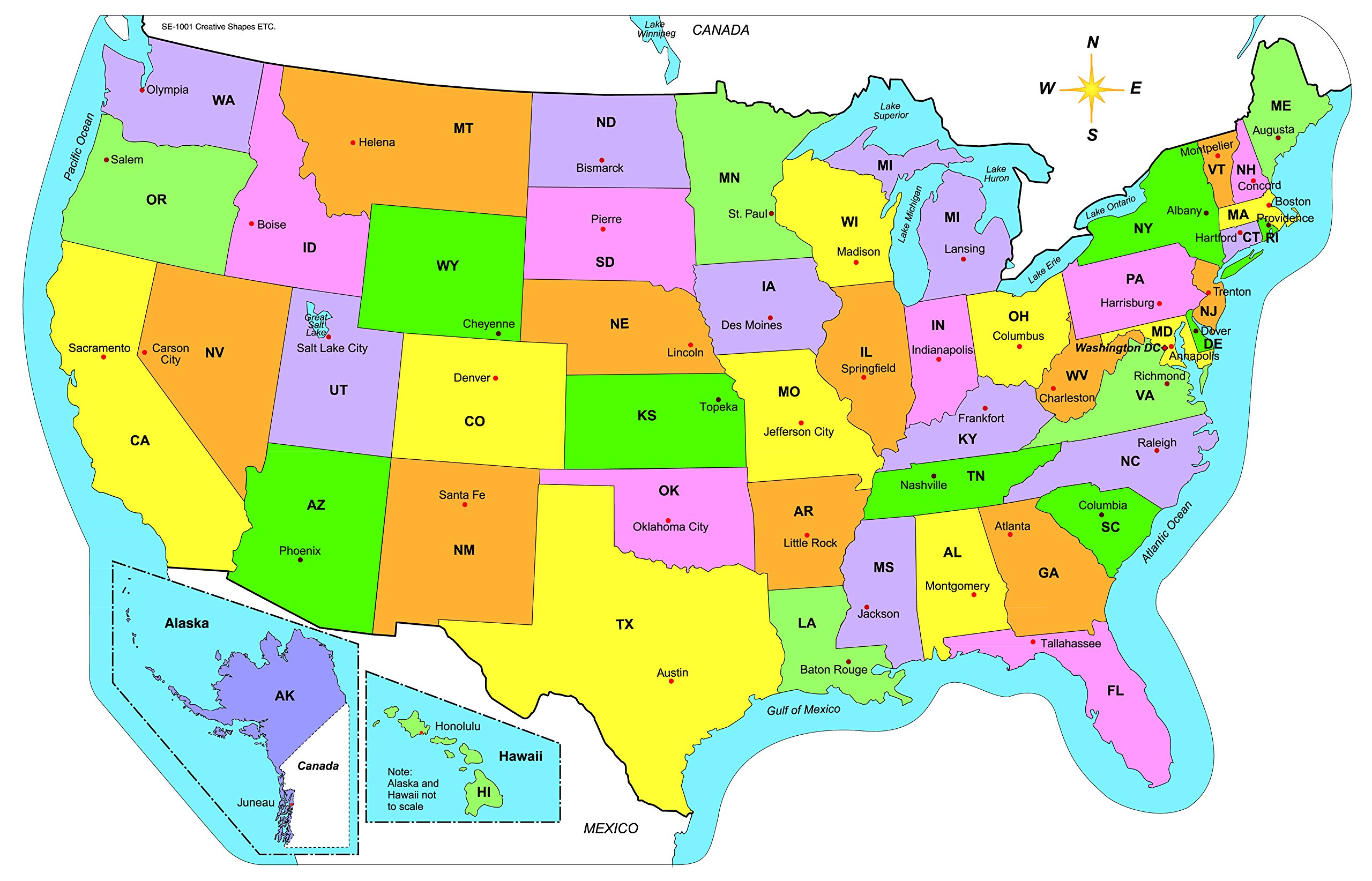
Where is Baltimore in the US? If you look at a map of the Mid-Atlantic region, Baltimore sits in north-central Maryland, planted firmly along the Patapsco River as it drains into the massive Chesapeake Bay. It's roughly 40 miles northeast of Washington, D.C., and about 100 miles southwest of Philadelphia. This coastal position places the city right in the heart of the densely populated eastern corridor, acting as a crucial shipping, transit, and cultural anchor.
Understanding where Baltimore is means looking past simple coordinates. It's a city defined by its dual identity as an independent municipality separate from any county, a major shipping port, and a mosaic of distinct neighborhoods. Let's look at how its physical location shaped its growth, its culture, and its place in the modern United States.
The Physical Geography and Fall Line Location
Baltimore occupies a unique ecological and geological border zone known as the Fall Line. This invisible boundary separates the rolling hills of the Piedmont Plateau from the flat, sandy terrain of the Atlantic Coastal Plain.
- The Fall Line Effect: Rivers flowing down from the Piedmont hit this shelf, creating waterfalls and rapids. This natural obstacle stopped deep-water navigation upstream, meaning early traders had to offload goods right where modern Baltimore stands.
- Waterways: The city grew around the Patapsco River estuary, providing protected harbors that turned it into a powerhouse for maritime trade.
- Elevation Changes: You'll notice the topography shifts drastically if you walk from the Inner Harbor up toward northwest neighborhoods like Pimlico, moving from sea level up to nearly 500 feet.
Because of this specific layout, early settlers realized the harbor could handle massive ships while connecting inland farmers to global markets. According to the Maryland Manual Online, the port has driven the local economy for centuries.
Where is Baltimore Relative to Major Eastern Hubs?
Geography dictates connectivity. Baltimore's proximity to other major powerhouses shapes how people live, work, and travel across the Mid-Atlantic.
Washington, D.C. is just a short drive or train ride down the Interstate 95 corridor. Many residents commute between the two cities, and the combined metropolitan statistical area represents one of the wealthiest and most influential regions in the country.
Philadelphia is roughly an hour and a half north by train, while New York City is about three hours away. This makes Baltimore part of the historic Northeast megalopolis, yet it maintains a gritty, distinct personality that sets it apart from its shinier neighbors. It isn't a suburb of D.C., nor is it a mini-Philly. It's fiercely independent.
The Independent City Structure
One quirk that confuses visitors is Baltimore's political geography. In 1851, Maryland stripped Baltimore of its status as the county seat of Baltimore County, turning it into an independent city.
Today, Baltimore City and Baltimore County are completely separate legal entities. While Baltimore County wraps around the city's north, east, and west flanks like a horseshoe, it doesn't govern it. If you cross an invisible municipal line, you might jump from city jurisdiction to county jurisdiction, changing your local school district, police force, and tax structure instantly.
Neighborhood Identity and Urban Layout
Baltimore is often called a "city of neighborhoods," boasting over 200 distinct communities. The layout of these neighborhoods reflects waves of industrial growth, immigration, and migration.
- The Inner Harbor: Once a heavy industrial shipping dock, it was revitalized in the late twentieth century into a tourism and commercial hub.
- Fells Point and Federal Hill: Historic waterfront neighborhoods featuring 18th-century brick architecture, cobblestone streets, and early maritime roots.
- The East and West Sides: Separated by Charles Street—the traditional east-west divider—these areas tell complex stories of redlining, working-class rowhouse culture, and community resilience.
Rowhouses dominate the urban landscape. These narrow, attached brick homes stretch for miles, creating a uniform architectural texture you won't see in western or southern US cities.
Common Mistakes When Describing Baltimore's Location
People often misunderstand where Baltimore sits or how it functions within Maryland. Clearing these up helps paint an accurate picture.
- Calling it a D.C. neighborhood: While it's close to the capital, Baltimore has its own distinct dialect, industrial history, and cultural traditions. It operates on its own economic engine centered around Port of Baltimore trade and healthcare institutions like Johns Hopkins.
- Confusing the City with the County: As noted, Baltimore City and Baltimore County are entirely separate. Giving someone directions requires knowing whether they are heading to the urban center or the surrounding suburban county.
- Assuming it's a coastal ocean city: Baltimore sits on an inland river estuary connected to the Chesapeake Bay, not directly on the Atlantic Ocean. Beachgoers still have a few hours of driving ahead of them to reach Ocean City.
Frequently Asked Questions
Is Baltimore considered part of the South or the North?
Baltimore sits just below the Mason-Dixon line, which historically divided free northern states from southern slave-holding states. Culturally and geographically, it occupies a unique middle ground. It shares industrial and urban traits with northern cities, but its historical roots, foodways, and hospitality often carry strong Mid-Atlantic and southern influences.
How far is Baltimore from the nearest ocean beach?
While Baltimore has plenty of waterfront views along the harbor and the bay, ocean beaches require a drive. Popular destinations like Ocean City, Maryland, or Rehoboth Beach, Delaware, are roughly two and a half to three hours away by car.
Why is Baltimore called "Charm City"?
The nickname was coined in 1975 by then-Mayor William Donald Schaefer and a local advertising agency. They wanted to rebrand the industrial port city and highlight its historic rowhouses, friendly residents, and maritime heritage to attract tourists and businesses.
Is Baltimore a walkable city?
Yes, historic areas like Fells Point, Mount Vernon, and Federal Hill are exceptionally pedestrian-friendly. You can easily walk or bike around the Inner Harbor core, though navigating between distant neighborhoods often requires cars, buses, or the city's light rail system.



