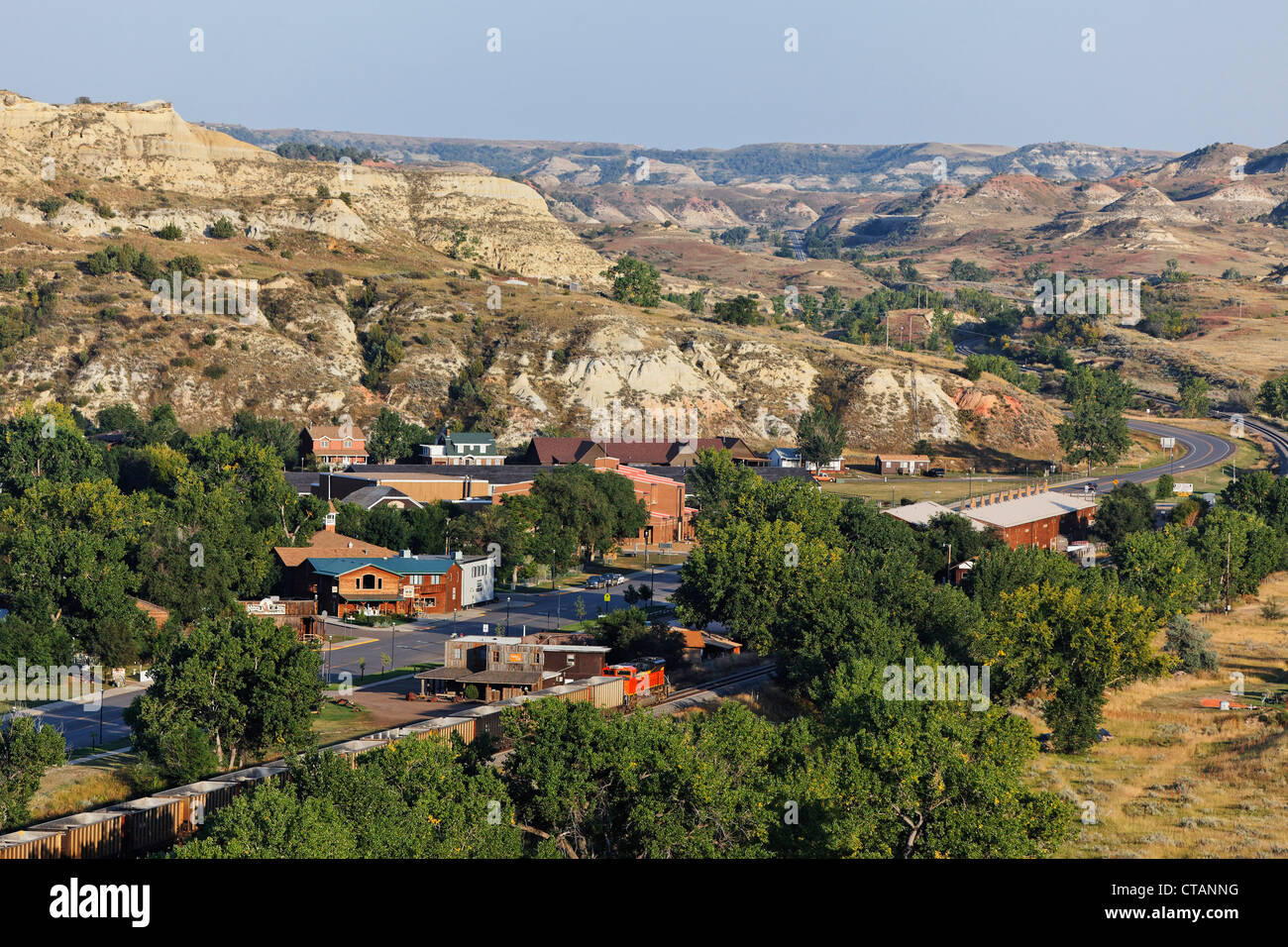
Where is Auburn Alabama located? The city sits in east-central Lee County, right along Interstate 85. It rests at the junction of the Piedmont Plateau and the Coastal Plains, roughly 60 miles northeast of Montgomery and 110 miles southwest of Atlanta, Georgia. Known widely as "The Loveliest Village on the Plains," Auburn functions as the economic and cultural anchor of its regional micropolitan area alongside neighboring Opelika.
Understanding the precise positioning of this college town requires looking beyond a simple pin on a map. Its placement in Lee County places it within easy striking distance of major southeastern hubs, natural preserves, and state borders. Whether you're planning a relocation, checking travel routes, or researching the layout of Auburn University, this guide breaks down the exact geographical coordinates, regional proximity, and transit corridors that define the area.
Regional Geography and County Context
Auburn occupies a strategic spot in the eastern tier of Alabama. It sits entirely within Lee County, sharing its immediate eastern border with Opelika, the county seat. Together, Auburn and Opelika form the core of the Auburn-Opelika metropolitan statistical area.
The local terrain transitions smoothly. To the north and west, you find the rolling hills of the southern Piedmont region. To the south and east, the topography flattens out into the pine-laden Coastal Plain. This transitional boundary gives the local landscape a distinct look featuring pine forests, clay-rich red soil, and gentle elevation changes. The city itself sits at an approximate elevation of 709 feet above sea level.
Geographic coordinates place the municipal center at roughly 32.602 degrees north latitude and 85.489 degrees west longitude. This puts the city firmly in the Central Time Zone (CST/CDT), observing daylight saving time.
Proximity to Major Southeastern Hubs
One of Auburn's biggest geographic advantages is its access to major transportation corridors. Interstate 85 cuts directly through the northern portion of the city, providing a straight shot southwest to Montgomery and northeast to Atlanta.
Driving distances and approximate travel times to key regional cities highlight this connectivity:
- Montgomery, Alabama: 58 miles southwest (about a 1-hour drive)
- Columbus, Georgia: 35 miles east (about a 45-minute drive)
- Atlanta, Georgia: 110 miles northeast (about a 1.5-hour drive)
- Birmingham, Alabama: 115 miles northwest (about a 2-hour drive)
- Panama City, Florida (Gulf Coast): Roughly 200 miles south (about a 4-hour drive)
Because Hartsfield-Jackson Atlanta International Airport sits roughly 90 miles away, residents and visitors enjoy global flight connections within a short two-hour window. Closer regional air travel is supported by the Auburn University Regional Airport (AUO) for private and charter aviation, alongside the Columbus Airport (CSG) just across the Georgia state line.
Climate and Environmental Setting
The physical location of Auburn directly shapes its humid subtropical climate (Köppen Cfa). Summers are long, hot, and humid, with average July high temperatures routinely hovering around 89 degrees Fahrenheit. Winters are short and relatively mild, with January lows averaging around 36 degrees Fahrenheit.
Precipitation is distributed fairly evenly throughout the year, averaging roughly 53 inches annually. While snow is a rare occurrence—typically amounting to less than an inch in years when winter systems dip far enough south—the region experiences seasonal thunderstorms during the spring and late summer months.
Local Infrastructure and City Layout
Covering a total land area of roughly 61 square miles, the city layout centers heavily around the campus of Auburn University. The urban core radiates outward from Toomer's Corner—the historic intersection of Magnolia Avenue and College Street—which marks the symbolic meeting point between the academic grounds and the downtown commercial district.
Major arteries supporting local transit include:
- U.S. Highway 280: Running east-west, connecting Auburn to Birmingham and Columbus.
- State Route 14: Providing access westward toward Elmore County and Wetumpka.
- Tiger Transit: The university-operated bus system that handles high-volume student transit across campus and surrounding neighborhoods.
- Lee-Russell Public Transit: Offering rural and urban public transportation services across the county.
Common Mistakes Regarding Auburn's Location
When researching Auburn, people frequently run into a few common mix-ups:
- Confusing it with Opelika: While neighboring Opelika is the county seat of Lee County, Auburn is the larger city by population and houses the university. They function as twin cities economically.
- Confusing it with Auburn, New York or Washington: The name Auburn is shared by multiple U.S. cities. Always specify "Auburn, Alabama" when mapping routes or looking up local government data.
- Assuming it is in a mountain zone: Despite its proximity to the Appalachian foothills further north, Auburn sits in the rolling hills of the Piedmont and Coastal Plain transition zone, meaning terrain is hilly but not mountainous.
Frequently Asked Questions
What county is Auburn Alabama in?
Auburn is located entirely within Lee County in east-central Alabama.
How far is Auburn from Atlanta?
Auburn is approximately 110 miles southwest of Atlanta, Georgia. Under normal traffic conditions on Interstate 85, the drive takes about an hour and a half.
Is Auburn close to the beach?
While Auburn is landlocked, it sits roughly 200 miles north of the Gulf of Mexico. Residents can reach Gulf Coast beaches like Panama City Beach or Destin in about four hours by car.
What time zone is Auburn in?
Auburn observes Central Standard Time (CST) and switches to Central Daylight Time (CDT) during daylight saving months.



