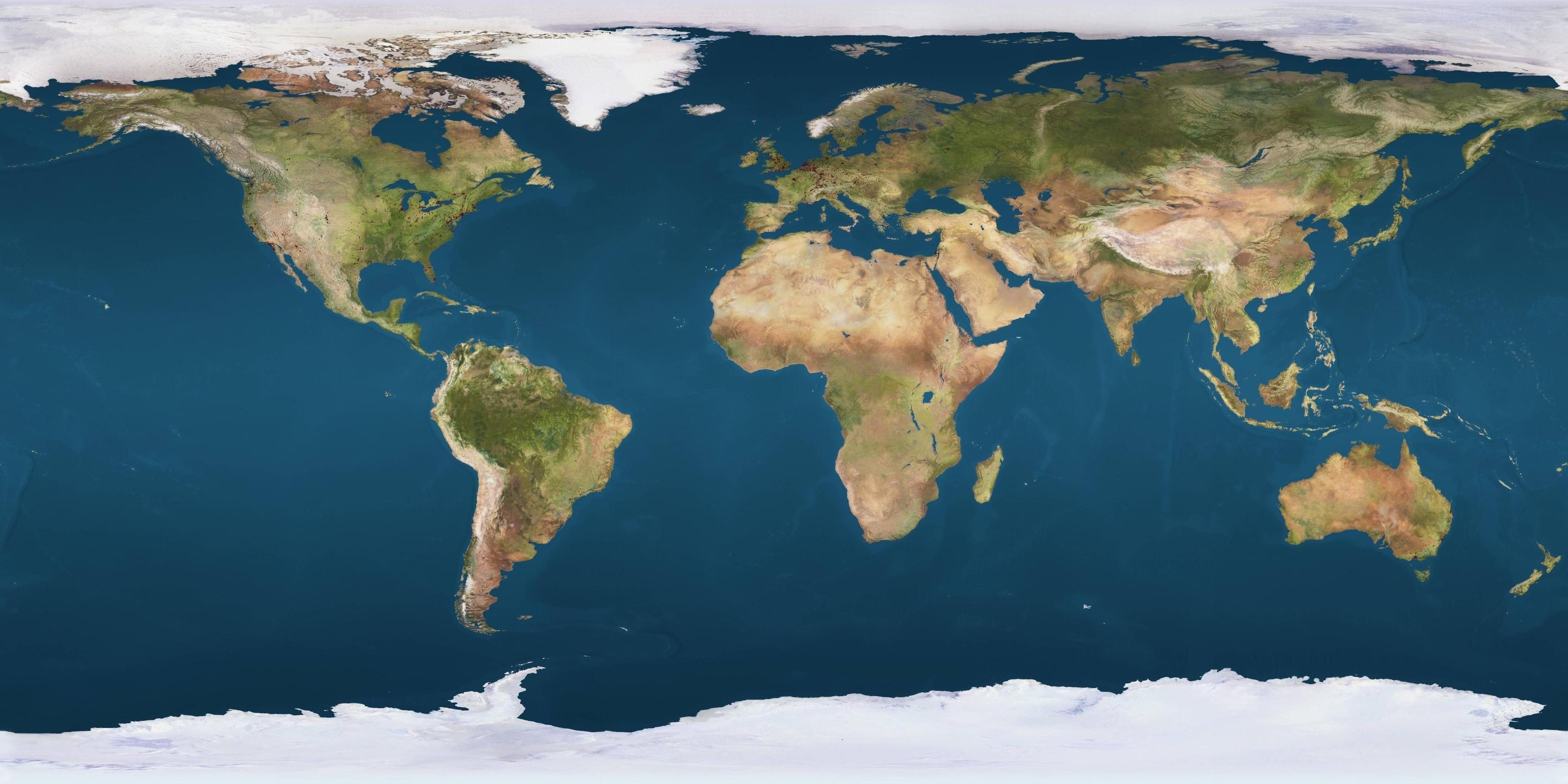
The Western Hemisphere map tells a story of physical division and economic integration across the Americas. Traditional projections draw clean lines between North, Central, and South America, but actual supply chains, security zones, and diplomatic networks reveal a messier reality. Geography dictates how goods move, where bottlenecks form, and how states manage sovereignty. Understanding this space requires looking past paper boundaries to examine how trade corridors and physical barriers shape modern relations.
Physical geography remains the primary constraint on connectivity across the Americas. The vast Andean mountain chain runs down the western spine of South America, while the Amazon basin creates massive interior barriers. These natural features force trade routes into specific chokepoints. Nations must navigate these geographic realities while balancing domestic priorities against external economic pressures from global powers like China and the United States.
The Anatomy of Americas Trade Corridors
Trade across the Western Hemisphere flows along two primary directional axes. The east-west axis moves bulk commodities from the Atlantic-facing interior—such as Brazil's agricultural heartland and interior mining regions—toward Pacific ports for export. Meanwhile, the north-south axis runs down the spine of the continents, connecting North American industrial markets with southern resource bases.
These routes face severe physical friction. Trans-Andean rail and highway links remain limited to a handful of high-altitude passes. When winter weather or geopolitical disputes close these mountain crossings, continental supply chains stall. According to the U.S. Department of State, cross-border logistics efficiency directly influences regional stability and economic growth.
Initiatives like the Initiative for the Integration of Regional Infrastructure in South America (IIRSA) attempted to build continent-spanning corridors. However, many proposed highways and waterways stalled due to funding shortages, environmental pushback, and shifting political administrations. The gap between mapped corridors and operational tarmac highlights the limits of regional planning.
Geopolitical Chokepoints and Maritime Routes
Maritime geography defines hemispheric security just as much as overland infrastructure. The Panama Canal serves as the central artery connecting Atlantic and Pacific trade. Any disruption to canal operations—whether driven by drought restricting water levels or geopolitical friction—forces global shipping lines to reroute around Cape Horn or rely on intermodal land bridges.
Further south, the South Atlantic functions as an increasingly vital strategic space. Linking African littorals with South American ports, this maritime zone handles growing volumes of global commerce and security patrols. Naval cooperation frameworks, such as joint exercises involving Brazil and international partners, attempt to secure these waters against transnational crime and illegal trafficking.
Major Hemispheric Trade Vectors:
[Brazil / Southern Cone Interior]
       │ (East-West Axis)
       ▼
[Andean Mountain Passes]
       │
       ▼
[Pacific Ports] ──► [Global Export Markets (Asia)]
External actors view this map through strategic lenses. Washington traditionally treats the hemisphere as its primary strategic buffer, emphasizing security cooperation and supply chain nearshoring. At the same time, Beijing utilizes infrastructure investments, port acquisitions, and bilateral trade agreements to anchor South American economies into broader trans-Pacific networks.
Infrastructure Deficits and Logistics Bottlenecks
A close look at a physical map of the Americas reveals severe infrastructure asymmetries. North America boasts dense, multimodal rail and highway grids. In contrast, Central and South America struggle with fragmented rail gauges, underfunded port facilities, and inadequate rural roads.
This fragmentation creates high logistics costs. Moving freight across borders in parts of Latin America often involves extensive customs delays, multiple transloadings due to incompatible track widths, and regulatory red tape. Shippers frequently lose days at border crossings that should take hours.
To overcome these barriers, logistics planners look toward digital customs integration and border-simplification frameworks. Streamlining documentation reduces the friction of moving goods across multiple jurisdictions, though political trust is required to harmonize rules between sovereign states.
Frequently Asked Questions
What are the main trade corridors in the Western Hemisphere?
The primary routes consist of the east-west axis moving commodities from South America's interior agricultural and mining zones to Pacific ports, and the north-south axis linking North American manufacturing markets with southern resource hubs.
Why are trans-Andean trade routes difficult to develop?
The Andes mountains present extreme elevations and harsh weather, limiting viable highway and rail passes to a small number of strategic locations that are expensive to build and maintain.
How do external powers influence hemispheric connectivity?
Countries like the United States and China compete for economic and strategic influence through targeted infrastructure financing, trade pacts, port developments, and security partnerships.
What is the role of the Panama Canal in Western Hemisphere trade?
The Panama Canal acts as the core maritime shortcut connecting Atlantic shipping lanes to Pacific markets, heavily influencing global transit times and freight costs.