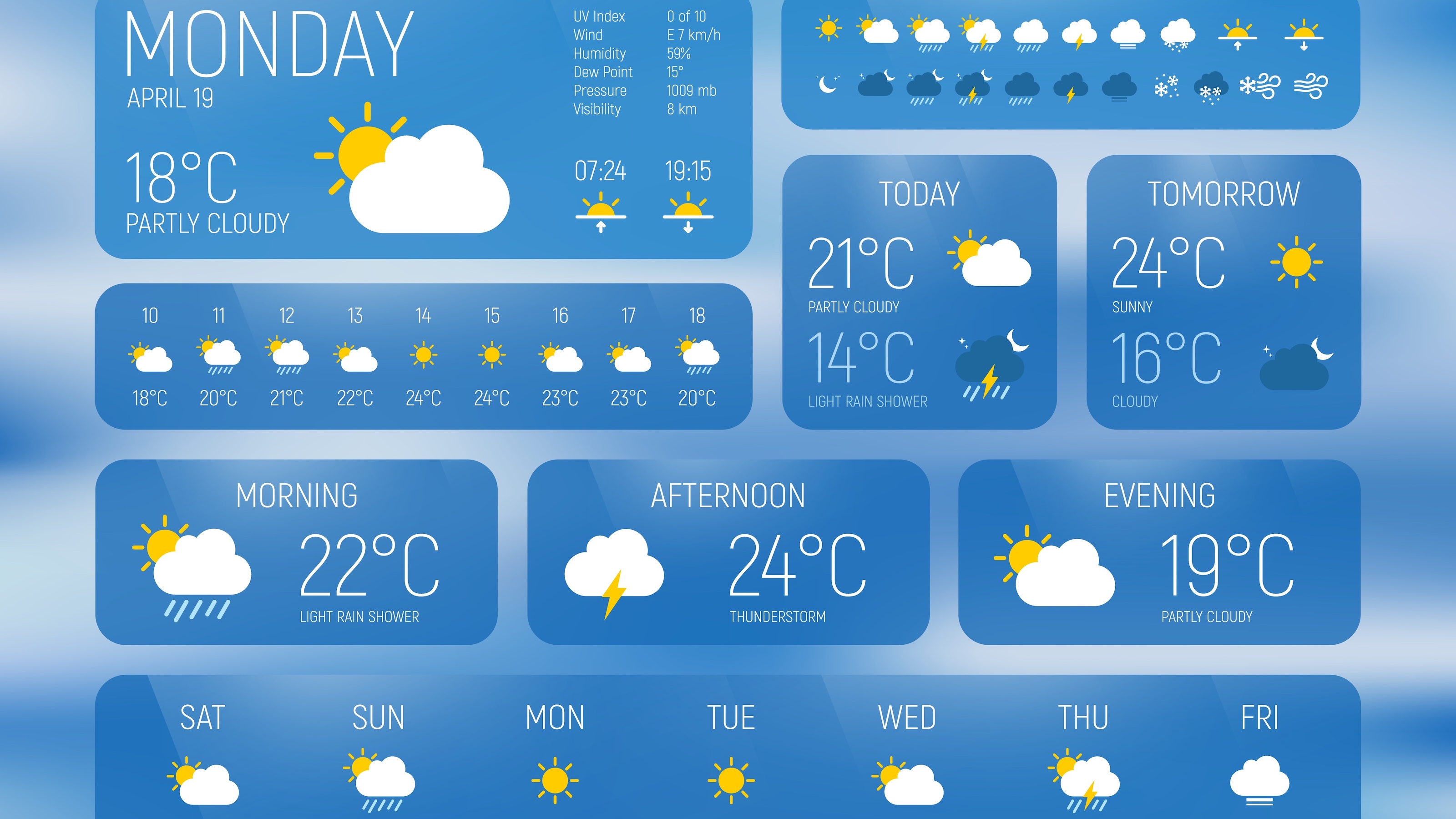
When a sudden cloudburst ruins your commute or an unexpected heatwave disrupts your workday, checking the skies isn't just a casual habit—it's a practical necessity. Modern applications have transformed atmospheric monitoring from a nightly television broadcast into an instant, hyper-localized pocket guide. However, because most consumer software relies on shared raw data feeds from government networks like the National Oceanic and Atmospheric Administration NOAA, the real difference in performance comes down to the application's translation layer, interface design, and algorithmic adjustments.
Understanding how these platforms process meteorological inputs helps you choose a tool that matches your daily routine. Whether you're planning outdoor fieldwork, managing a small business, or simply trying to avoid getting soaked on a Tuesday afternoon, knowing what goes on behind the interface allows you to separate dependable forecasts from glorified random number generators.
The Architecture Behind Mobile Forecasts
Most smartphone applications do not collect their own satellite imagery or radar scans. Instead, they pull raw mathematical outputs from large-scale numerical weather prediction models, such as the Global Forecast System or the European Centre for Medium-Range Weather Forecasts. These models run massive simulations on supercomputers, processing air pressure, humidity, wind vectors, and temperature gradients across a global grid.
The raw output is rarely ready for consumer use. It arrives in complex data formats that require significant translation. Developers use Application Programming Interfaces (APIs) provided by services like Open-Meteo or WeatherAPI.com to fetch these numbers and convert them into readable screens.
- Data Assimilation: Algorithms merge raw satellite observations with localized ground station readings every few hours.
- Downscaling: Global grid models often cover large geographic blocks. Software applies regional adjustments to account for local topography, such as valleys or coastlines.
- Presentation Layer: The processed data populates your phone screen with hourly precipitation chances, temperature trends, and severe weather warnings.
Why Forecasts Diverge Across Apps
If almost every platform pulls from the same foundational government models, you might wonder why one app predicts sunshine while another shows a thunderstorm. The discrepancy stems from the proprietary post-processing formulas and machine learning layers applied by different software creators.
Some platforms use raw model outputs directly with minimal adjustment, while others apply statistical bias-correction algorithms trained on years of historical weather records. If a particular model consistently overestimates afternoon temperatures in your region, an advanced application will automatically subtract a few degrees to balance the prediction. Furthermore, apps that update their short-range forecasts hourly using rapid-refresh models generally provide much better accuracy for immediate precipitation tracking than those relying on static twice-daily global runs.
Essential Features of Modern Weather Software
A cluttered interface filled with unrequested animations or distracting widgets defeats the core purpose of a quick digital check. High-performing tools focus on clarity, speed, and contextual relevance. When evaluating an application for daily use, look for specific functional capabilities rather than superficial styling.
Hyper-Local Radar Loops
Static rain icons are rarely sufficient when storms are moving fast. Interactive radar maps allow you to track precipitation boundaries in real-time, letting you see whether a rain cell will hit your exact neighborhood or pass safely to the north.
Granular Precipitation Timelines
Instead of a vague "50% chance of rain" label for the entire day, advanced utilities offer minute-by-minute or hourly precipitation breakdowns. Knowing that a heavy downpour will start precisely at 3:15 PM and clear up by 4:00 PM gives you actionable scheduling control.
Contextual Health and Lifestyle Indices
Data becomes much more useful when paired with personal routines. Air quality indexes, pollen counts for allergy sufferers, and UV exposure metrics help you make informed choices about outdoor exercise, window ventilation, and sun protection.
Reliable Severe Weather Push Notifications
Government-backed alerts regarding flash floods, high winds, or severe thunderstorms are essential safety features. A well-designed notification system pushes urgent warnings directly to your lock screen before local conditions deteriorate.
Common Pitfalls and Limitations
Even the most sophisticated software has inherent boundaries dictated by atmospheric physics. Recognizing these limitations prevents frustration when unexpected shifts occur.
- The Horizon Decay: A 24-hour forecast has high reliability because initial conditions are well-mapped. A 10-day forecast inherently carries a broad margin of error due to the chaotic nature of atmospheric fluid dynamics.
- Microclimate Blind Spots: If local weather stations are sparse in your rural or mountainous region, interpolation algorithms must guess conditions between distant monitoring points, reducing local accuracy.
- Battery and Data Trade-offs: Applications that constantly poll your GPS coordinates for hyper-local updates can drain mobile device batteries quickly and consume unnecessary cellular data.
Selecting and Customizing Your Tool
Finding the right digital forecast companion involves balancing your specific daily habits with technical reliability. If you commute primarily by bicycle, prioritize apps with minute-by-minute radar tracking and wind speed indicators. If you manage agricultural or outdoor operational tasks, look for platforms that offer extended historical comparisons and raw model access.
Set up your location preferences manually if automatic GPS tracking struggles with your specific neighborhood boundaries. Configure notification thresholds conservatively so you only receive alerts for genuine hazards rather than minor daily temperature fluctuations.
Frequently Asked Questions
Why do weather apps show different rain percentages for the exact same hour?
Rain probability calculations combine confidence in precipitation with the expected coverage area. A 40% chance can mean there is a 40% probability that rain will occur in your zone, or that rain will cover 40% of the forecasted area. Different apps use distinct statistical formulas to interpret these variables.
How can I verify if a forecast is accurate before planning an outdoor event?
Cross-reference your primary app with official regional data from national meteorological services or check local radar loops directly. If multiple independent models align on a specific weather window, your confidence level should increase.
Do free weather apps sell my location data?
Many consumer applications monetize their free tiers by collecting and sharing precise location telemetry with third-party advertisers. Always review the app's privacy settings and data-sharing disclosures before granting constant background location permissions.
Why do long-range forecasts change so frequently?
Atmospheric conditions are dynamic and subject to sudden shifts. As a weather system moves closer to your region, new observational data replaces initial assumptions, forcing forecasting models to adjust their predicted outcomes for later in the week.



