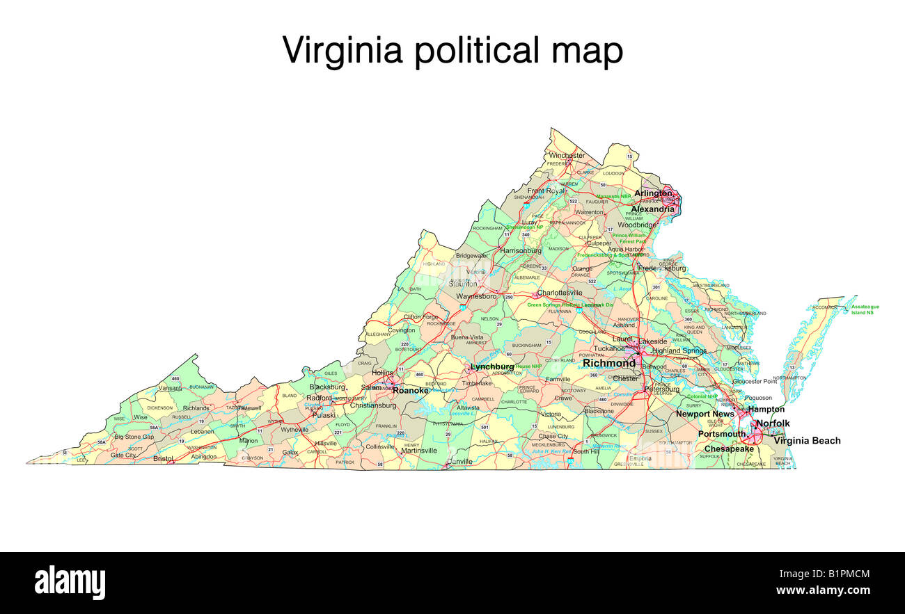
The Southeastern United States functions as a sprawling, highly integrated corridor stretching from the historic ports of Virginia down to the sunbelt expansion of Florida. Spanning roughly 900 miles across multiple states, this zone handles billions of dollars in freight, millions of commuters, and a rapidly expanding population. Yet this massive economic engine faces a mounting physical challenge. Rising sea levels, chronic flooding, and severe weather events threaten the concrete, steel, and tracks binding the region together.
Understanding how this corridor functions requires looking past traditional state boundaries and examining the entire geographic expanse as an interconnected system. Transportation planners, state departments of transportation, and federal agencies must coordinate how people and goods move across interstate highways, freight railways, and coastal ports. When a major hurricane washes out a bridge on Interstate 95 or floods a crucial freight rail line, the economic shockwave ripples from Richmond to Miami within hours.
The Backbone of the Eastern Seaboard
Movement through the Southeast relies heavily on a tightly wound web of asphalt and steel. Interstate 95 serves as the primary automotive artery, carrying millions of passenger vehicles and commercial trucks daily. Alongside it, rail corridors managed by freight operators like CSX and Norfolk Southern, as well as passenger networks operated by Amtrak, keep industrial supply chains and travelers flowing.
However, much of this infrastructure was designed decades ago under climate assumptions that no longer match reality. Low-lying coastal segments, particularly around Hampton Roads in Virginia, the Charleston peninsula in South Carolina, and various stretches across Florida, sit dangerously close to high-tide lines.
- Interstate Highways: Crucial highway connectors face frequent inundation during heavy storm surges, forcing costly detours onto secondary roads that lack the capacity to handle heavy truck traffic.
- Freight and Passenger Rail: Rail beds built across marshlands and coastal floodplains face undermining from saturated soils and rising water tables, forcing speed restrictions and expensive track elevation projects.
- Port Terminals: Deepwater ports in Virginia, Georgia, and Florida act as vital logistics hubs, but rising tides threaten the shoreside intermodal yards and local access roads required to clear containers.
Vulnerability Points and Chronic Flood Risks
Water management in the corridor is no longer just an environmental issue; it is a fundamental economic bottleneck. Coastal erosion and recurrent tidal flooding—often called sunny day flooding—routinely compromise low-lying interchanges and urban arterial roads.
State departments of transportation are spending record amounts to raise roadbeds, install industrial-scale pumping stations, and redesign stormwater management systems. For instance, portions of coastal highways now require structural elevating on concrete viaducts rather than traditional earthen fill. These interventions buy time, but they come with multi-million-dollar price tags that strain state budgets and require continuous federal partnership through agencies like the Federal Highway Administration.
Beyond highways, freight rail networks face unique engineering dilemmas. Unlike roads, which can be quickly cleared and repaved, rail lines require precise alignment tolerances. Even minor shifting in track ballast caused by saturated subgrades can trigger derailment risks or mandate severe speed reductions for heavy freight and passenger consists.
Adapting Rails and Roads for Tomorrow
Securing the long-term viability of the Southeastern transport network demands a shift from reactive repairs to proactive hardening. Planners are increasingly turning to nature-based solutions alongside traditional grey infrastructure. Restoring coastal wetlands, expanding living shorelines, and preserving natural buffer zones help absorb storm energy before it reaches concrete infrastructure.
At the same time, regional coordination councils are mapping out redundant routes. If primary coastal corridors experience prolonged closures, secondary inland routes—such as the Interstate 85 corridor through the Piedmont—must absorb diverted freight without collapsing under the weight.
- Material Upgrades: Engineers are utilizing permeable paving materials, corrosion-resistant rebar, and higher-grade ballast rock to withstand prolonged saltwater exposure and intense heat.
- Digital Monitoring: Smart sensors embedded in bridges and rail beds provide real-time data on structural integrity during major weather events, allowing operators to close and reopen segments safely.
- Zoning and Land Use: Local municipalities are rethinking zoning laws near major transit hubs, discouraging dense commercial development in vulnerable low-lying flood zones.
Frequently Asked Questions
Why is the Virginia to Florida corridor considered a single system?
The corridor shares deep economic, logistical, and environmental ties. Disruptions to ports, highways, or rail lines in one state immediately impact supply chains, logistics pricing, and travel safety across neighboring states.
How do rising tides affect freight rail if tracks are inland?
While some tracks sit miles inland, many vital connections cross coastal rivers, marshes, and low-lying estuaries. Rising water tables saturate the soil beneath the tracks, destabilizing the foundational support required for heavy trains.
What are state departments of transportation doing to mitigate flood damage?
Agencies are elevating low-lying road segments, replacing aging culverts with higher-capacity drainage systems, hardening bridge foundations against scour, and investing in real-time weather monitoring infrastructure.
Can alternative inland routes handle coastal traffic diversions?
Inland corridors like Interstate 85 provide alternative paths for long-haul freight, but local feeder roads often lack the lane capacity and structural strength to support sudden surges of redirected heavy commercial trucks.