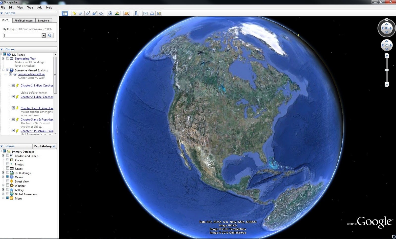
Stretching 5,525 miles across North America, the boundary separating the United States and Canada stands as the longest international land border shared by two sovereign nations. Far from a simple straight line drawn on a map, this vast frontier cuts through dense forests, towering mountain ranges, the Great Lakes, and arctic tundra. It reflects more than two centuries of shifting geopolitical compromises, economic integration, and unique cartographic anomalies that continue to shape daily life for millions of citizens on both sides.
Understanding this international division requires looking past the myth of a purely undefended, unchanging landscape. The border is a dynamic zone governed by complex historical treaties, precise surveying markers, and modern security protocols. From the 49th parallel to quirky geographical exclaves like the Northwest Angle, the mapping of this frontier tells the story of how two nations carved out distinct identities while remaining economically intertwined.
Historical Evolution and Cartographic Origins
The roots of the northern boundary trace back to European colonial competition and post-war diplomacy. When the American Revolutionary War ended, the Treaty of Paris (1783) laid down the initial conceptual framework for what would separate British North America from the newly independent United States. However, cartographers at the time relied on deeply flawed maps, inaccurate river sources, and guesswork.
Resolving Disputed Territories
Early attempts to survey the line triggered recurring disputes over resource-rich timber lands and crucial waterways. Key milestones resolved major sections of the frontier over time:
- The Treaty of 1818: Established the 49th parallel as the official boundary from the Lake of the Woods westward to the Rocky Mountains, creating a clean geometric standard for much of the western plains.
- The Webster-Ashburton Treaty (1842): Settled lingering boundary disputes between Maine and New Brunswick, defining the jagged eastern contours that persist today.
- The Oregon Treaty (1846): Extended the 49th-parallel boundary through the Pacific Northwest to the coast, resolving conflicting claims to the Oregon Country.
These agreements substituted armed conflict with painstaking diplomatic negotiation. Surveyors spent decades driving iron posts, clearing forest swaths known as the "slash," and plotting coordinates under brutal field conditions to make these paper treaties a physical reality.
Geographic Quirks and Anomalies
Because early surveyors worked with primitive instruments and incomplete topographical knowledge, the border features several bizarre cartographic anomalies that linger on modern maps.
The Northwest Angle
Located in Minnesota, the Northwest Angle is the only part of the contiguous United States situated north of the 49th parallel. This quirk stems from an erroneous 18th-century map that incorrectly mapped the source of the Mississippi River, forcing later mapmakers to improvise an awkward dogleg shape jutting into Lake of the Woods.
Point Roberts and the 49th Parallel
Point Roberts, Washington, is a small peninsula hanging south of the 49th parallel. Because it's cut off from the rest of Washington State by water, residents must drive through British Columbia just to reach the rest of their own country.
The Border in Modern Economic and Security Contexts
For generations, the boundary earned fame as the longest undefended border in the world. While military conflict has long been unthinkable, the post-2001 era transformed how both nations manage transit, immigration, and trade. Agencies like U.S. Customs and Border Protection and the Canada Border Services Agency coordinate closely to maintain security while processing billions of dollars in daily cross-border commerce.
Major trade corridors, such as the Ambassador Bridge connecting Detroit and Windsor, handle massive freight volumes critical to North American automotive and manufacturing supply chains. Technology now supplements physical infrastructure, utilizing remote sensors, drones, and automated license plate readers to monitor remote stretches where fences are impractical or ecologically destructive.
Common Misconceptions
- The entire border is a straight line: Many assume the 49th parallel dictates the entire boundary. In reality, the line only accounts for the western half; the eastern portion follows a jagged path through rivers, lakes, forests, and highlands.
- It has always been fully demarcated: Large sections remained completely unmapped and unmarked well into the late 19th century until joint boundary commissions systematically surveyed and cleared the frontier.
- Crossing rules are uniform: Regulations vary significantly depending on whether you cross via a remote forest road, a major highway bridge, or maritime waters in the Great Lakes.
Frequently Asked Questions
How long is the border between the United States and Canada?
The total length is 5,525 miles (8,891 kilometers), which includes the substantial border shared with the state of Alaska.
Which U.S. states share a border with Canada?
Thirteen U.S. states share a land or water boundary with Canada, ranging from Alaska down to smaller eastern borders like Pennsylvania's maritime boundary in Lake Erie.
Why is much of the border straight?
The adoption of the 49th parallel during the Treaty of 1818 provided a simple, geometric solution for dividing the vast, unmapped western interior between British territory and the United States.
Can you cross the border anywhere in remote areas?
No. Crossing outside of an official, designated port of entry is illegal, even in remote wilderness areas, and is monitored closely by surveillance technology and enforcement personnel.



