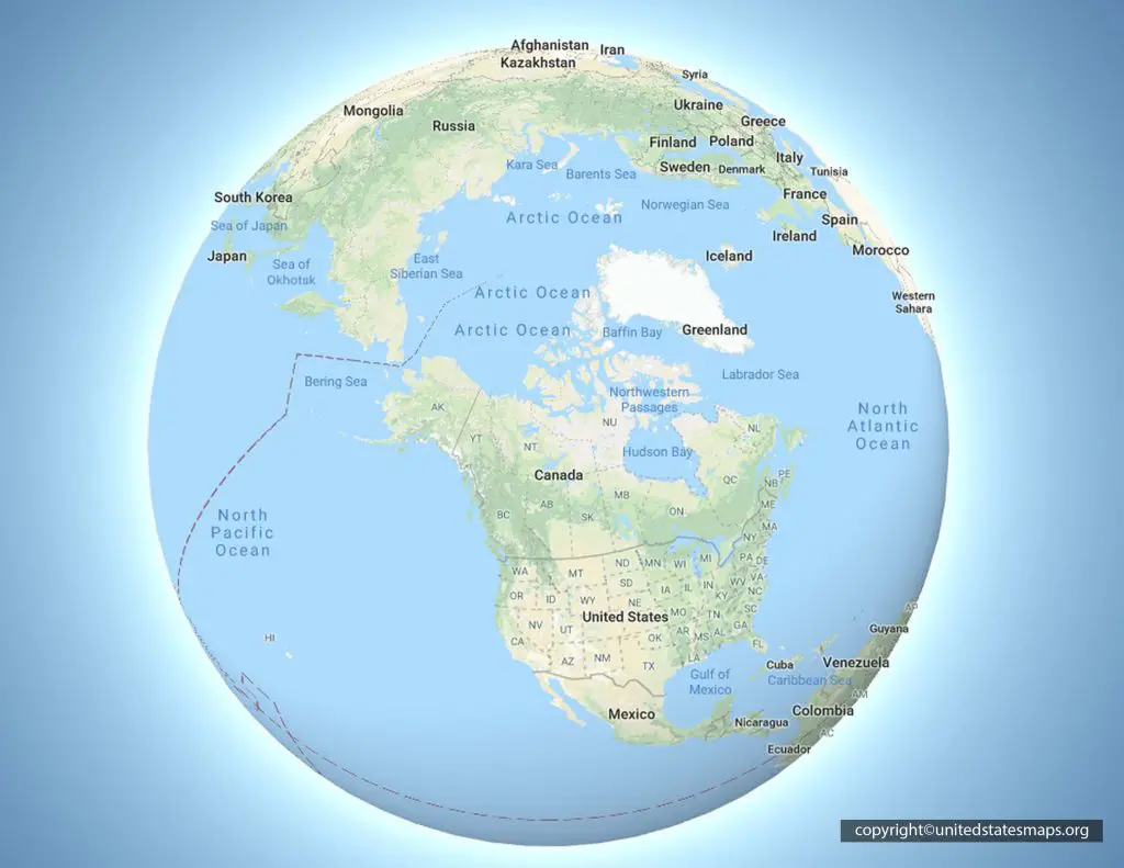
The Ural Mountains stretch roughly 2,500 kilometers from the Arctic Ocean down to the Kazakh steppes, acting as the conventional physical boundary dividing Europe from Asia. If you're looking at a map of this continental spine, you'll see a long, narrow belt running north-to-south through western Russia. Understanding this range requires looking past simple cartographic lines and examining its distinct five sub-regions, ancient geology, and industrial impact.
Mapping the Urals means tracing a transition zone rather than a sheer wall. While some high peaks hold permanent snow and glaciers, much of the range has eroded into rolling hills and forested plateaus over hundreds of millions of years. This guide breaks down the topography, climate patterns, and geographic layout of the Ural chain.
Mapping the Continental Divide
Cartographers have long used the eastern base of the Ural Mountains and the Ural River to separate the European landmass from Siberia. This line isn't just arbitrary; it follows a major structural fold created during the Paleozoic era.
The range is divided into five distinct geographic sectors from north to south, each displaying completely different elevations and terrain features:
- Polar Urals: The northernmost section, starting at the Pay-Khoy Ridge. It features harsh tundra, permafrost, and sharp, exposed ridges like Mount Payer.
- Subpolar (Nether-Polar) Urals: Home to the highest elevations in the entire chain, including Mount Narodnaya at 1,895 meters. This sector contains active glaciers and deep glacial lakes.
- Northern Urals: Characterized by parallel ridges reaching up to 1,200 meters, covered by dense taiga forests and extensive stone fields formed by frost weathering.
- Central Urals: The lowest and most accessible part of the range. Heights rarely exceed 500 meters, making it the historical route for roads and railways crossing between continents.
- Southern Urals: Broadens significantly into multiple parallel ridges and valleys, culminating in Mount Yamantau before fading into the arid steppes of Kazakhstan.
Hydrology and River Systems
Water flowing off the Ural Mountains drains into two massive, entirely different basins. Precipitation falling on the western slopes feeds tributaries of the Volga River, such as the Kama, which eventually empty into the Caspian Sea. Meanwhile, rivers originating on the eastern slopes—including the Tobol, Tura, and Tavda—flow into the Ob River system, emptying northward into the Arctic Ocean.
This drainage divide creates stark environmental differences. Western slopes catch more moisture-bearing winds rolling in from the Atlantic, resulting in heavier snowfall and denser pine and fir forests. Eastern slopes experience drier, more continental conditions, gradually giving way to the flat expanse of the West Siberian Plain.
Climate Patterns Across Latitudes
Because the range spans multiple climate zones, weather conditions vary drastically depending on where you stand on the map.
In the north, winter temperatures routinely drop below -20 degrees Celsius, and rivers remain frozen for up to seven months out of the year. Summers are short and cool, often lasting only a few weeks.
Moving south toward the border with Kazakhstan, the climate shifts to warm, dry summers and shorter, milder winters, though severe frost can still occur when Arctic air masses push southward. Weather systems across the middle and southern sections are notoriously volatile, meaning clear mornings can quickly turn into heavy afternoon downpours or sudden squalls.
Economic Geography and Mineral Wealth
Beyond their role as a physical landmark, the Urals are one of the most mineral-rich regions on earth. For centuries, mining operations have extracted iron ore, copper, platinum, coal, and precious gemstones from the metamorphic and igneous rock layers exposed by ancient erosion.
Cities like Yekaterinburg and Magnitogorsk developed directly because of this industrial abundance. The mountains act as a massive natural vault, storing the raw materials that drove much of Russia's heavy manufacturing economy through the nineteenth and twentieth centuries.
Common Mistakes When Studying Ural Geography
- Assuming a uniform height: Many people picture the Urals as a jagged, Himalayan-scale barrier. In reality, large portions of the range—especially the Central Urals—resemble rolling hills rather than alpine peaks.
- Treating the border as a political line only: The continental divide follows physical topography, but human settlement and administrative regions cross back and forth across the range constantly.
- Ignoring the southern extension: The mountains don't just stop abruptly; they taper off through the Mugodjjar Hills into the semi-deserts of Central Asia.
To read more about protected natural areas within the range, you can explore the Yugyd Va National Park documentation via UNESCO.
Frequently Asked Questions
What is the highest peak in the Ural Mountains?
The highest point is Mount Narodnaya, reaching an elevation of 1,895 meters (6,217 feet) in the Subpolar section.
Do the Ural Mountains separate two continents?
Yes, they form the traditional physical boundary separating Europe from Asia, running through western Russia down toward Kazakhstan.
How old are the Ural Mountains?
They formed during the Uralian orogeny roughly 250 to 300 million years ago, making them among the oldest surviving mountain ranges on the planet.
Are there glaciers in the Urals?
Yes, the northern and subpolar sections still support dozens of small glaciers and permanent snowfields, despite the low overall elevation of the range.



