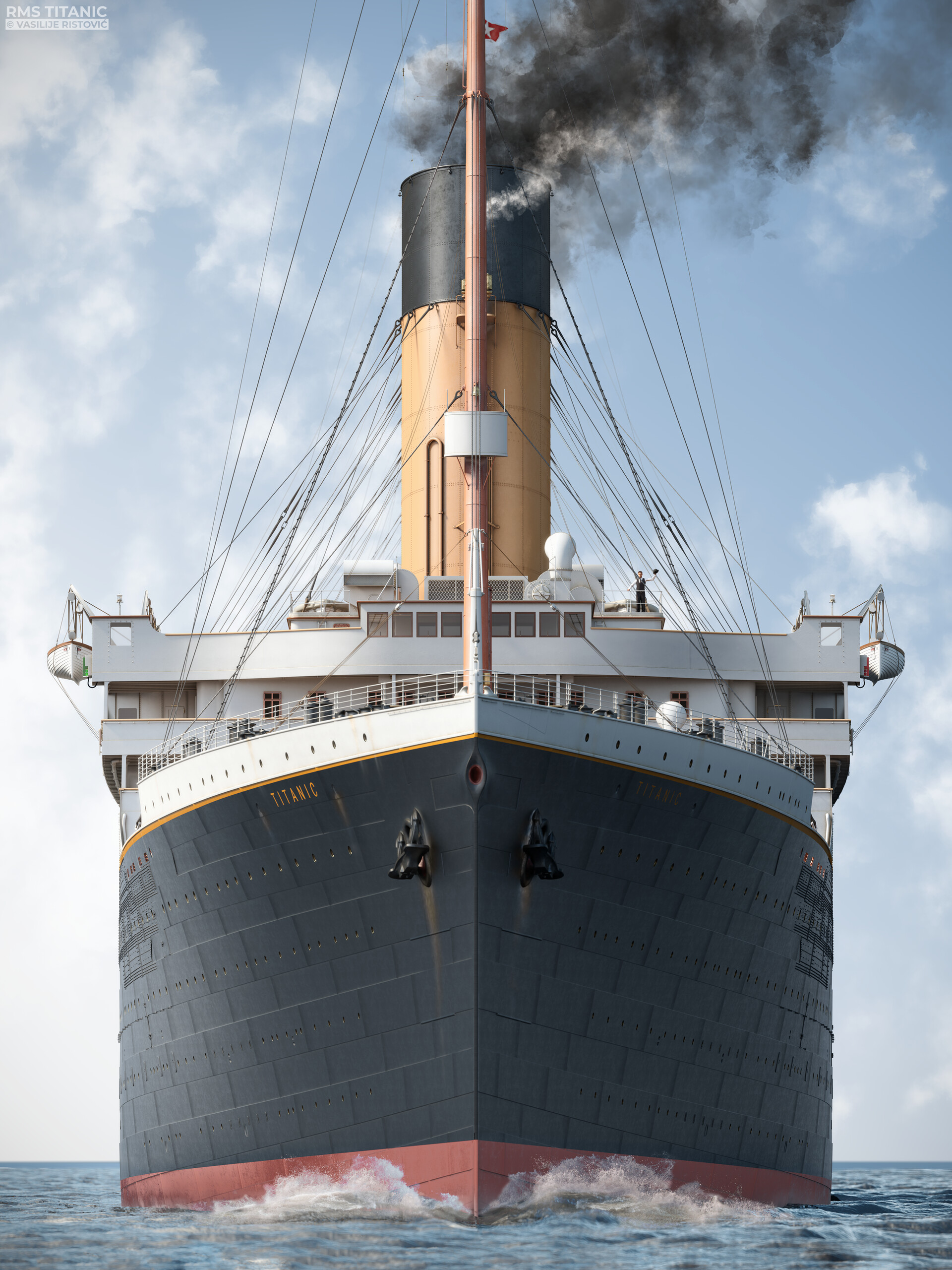
Finding the RMS Titanic wasn't just a matter of dropping a line into the dark. For over seven decades, the ultimate ocean grave remained lost beneath thousands of feet of crushing water. When it was finally located on September 1, 1985, the breakthrough relied less on luck and more on a major shift in deep-sea engineering and search strategy.
The wreck rests roughly 3,800 metres (12,500 feet) down, sitting about 325 nautical miles southeast of Newfoundland. Its exact position—centred around latitude 41°43′32″N and longitude 49°56′49″W for the boilers, with the bow at 41°43′57″N 49°56′49″W—ended decades of speculation. Understanding how modern technology unlocked this marine mystery reveals the limits of early oceanography and the tools that changed underwater exploration forever.
The Early Search Failures and Obstacles
Before the mid-1980s, several expeditions attempted to locate the liner and failed. The primary obstacle was the immense scale of the search area combined with extreme environmental conditions. Sonar systems of the mid-20th century lacked the resolution needed to spot a hull resting on a chaotic, uneven abyssal plain.
Early teams treated the search like a surface-level treasure hunt. They looked for the ship itself as a single, massive target. However, the Titanic didn't land on the seabed in one piece. It split apart near the surface, scattering heavy machinery, coal, and structural fragments across a massive area. Without understanding how debris trails form in deep water, previous sonar sweeps missed the target entirely, even when passing close by.
Shifting Strategy: Hunting the Debris Field
The turning point came when marine geologist Dr. Robert Ballard and French oceanographer Jean-Louis Michel changed the fundamental tactic. Instead of hunting for the hull, they decided to follow the debris trail.
When a massive vessel sinks, heavy components like boilers and engines sink faster or separate during the break-up, leaving a comet-like trail of wreckage on the seafloor. By searching for this wider footprint rather than a narrow ship profile, the expedition increased its effective target area. This methodology transformed underwater archaeology, proving that tracking secondary artifacts was often more reliable than hunting the primary wreck. You can read more about marine preservation efforts through the National Oceanic and Atmospheric Administration archives.
The Technology That Revealed the Deep
Finding the Titanic required hardware capable of surviving pressures exceeding 400 atmospheres while transmitting clear imagery in absolute darkness. Two primary technological systems made the 1985 discovery possible:
- Argo: A deep-towed camera sled equipped with low-light silicon-intensified target video systems. Argo was dragged just above the seafloor, sending live visual feeds to the surface ship.
- SEAMARC and Sonar Arrays: Advanced side-scan sonar systems used in preliminary phases to map the contours of the ocean floor, though Argo's optics ultimately delivered the visual confirmation.
On September 1, 1985, the Argo system picked up an unmistakable shape on the monitors: one of the ship's massive cylindrical boilers. That single object confirmed the search was over. The following day, the main bow section came into view, showing that the ship had broken cleanly into two main pieces now sitting roughly 600 metres apart.
Evolution of Wreck Mapping: From Sonar to 3D Scans
Technology didn't stop advancing once the ship was found. While 1985 relied on towed cameras and tethered submersibles like Alvin, modern expeditions utilize full-scale digital reconstruction.
In recent years, deep-sea mapping companies have captured hundreds of thousands of high-resolution scans of the site. Rather than relying on murky flashlight sweeps from a small submarine, modern photogrammetry stitches together millions of data points. This creates a digital twin of the wreck site, allowing researchers to view the Titanic as if the ocean water had been completely drained away. For historical context on maritime regulations governing such sites, consult the UNESCO Underwater Cultural Heritage portal.
Common Misconceptions About the Titanic Wreck
- The ship is intact: Popular culture long imagined the Titanic resting upright and whole on the bottom. In reality, the violent break-up split the bow from the stern, which face opposite directions and suffered catastrophic structural collapse.
- It was found purely by accident: While a classified U.S. Navy submarine salvage project provided cover and funding for part of the initial trip, the actual discovery was the result of a rigorous, methodical scientific search strategy focused on the debris trail.
- The location was always public knowledge: Exact coordinates were closely guarded for years to protect the site from unauthorized salvage and artifact looting before international protections were established.
Frequently Asked Questions
How deep is the Titanic wreck?
The wreck lies approximately 3,800 metres (12,500 feet) beneath the surface of the North Atlantic Ocean.
Can tourists visit the Titanic wreck site?
Manned submersible tourism to the site is extremely limited, heavily regulated, and restricted to specialized scientific or commercial expeditions due to extreme safety risks and heritage protection laws.
Is the Titanic slowly disappearing?
Yes. Natural iron-consuming bacteria, known as Halomonas titanicae, are consuming the iron hull, causing rusticles and structural degradation that researchers estimate will eventually cause the wreck to collapse entirely.
How far apart are the bow and stern?
The bow and stern sections rest about 600 metres (2,000 feet) apart on the ocean floor, pointing in nearly opposite directions as a result of how the ship broke apart during the sinking process.



