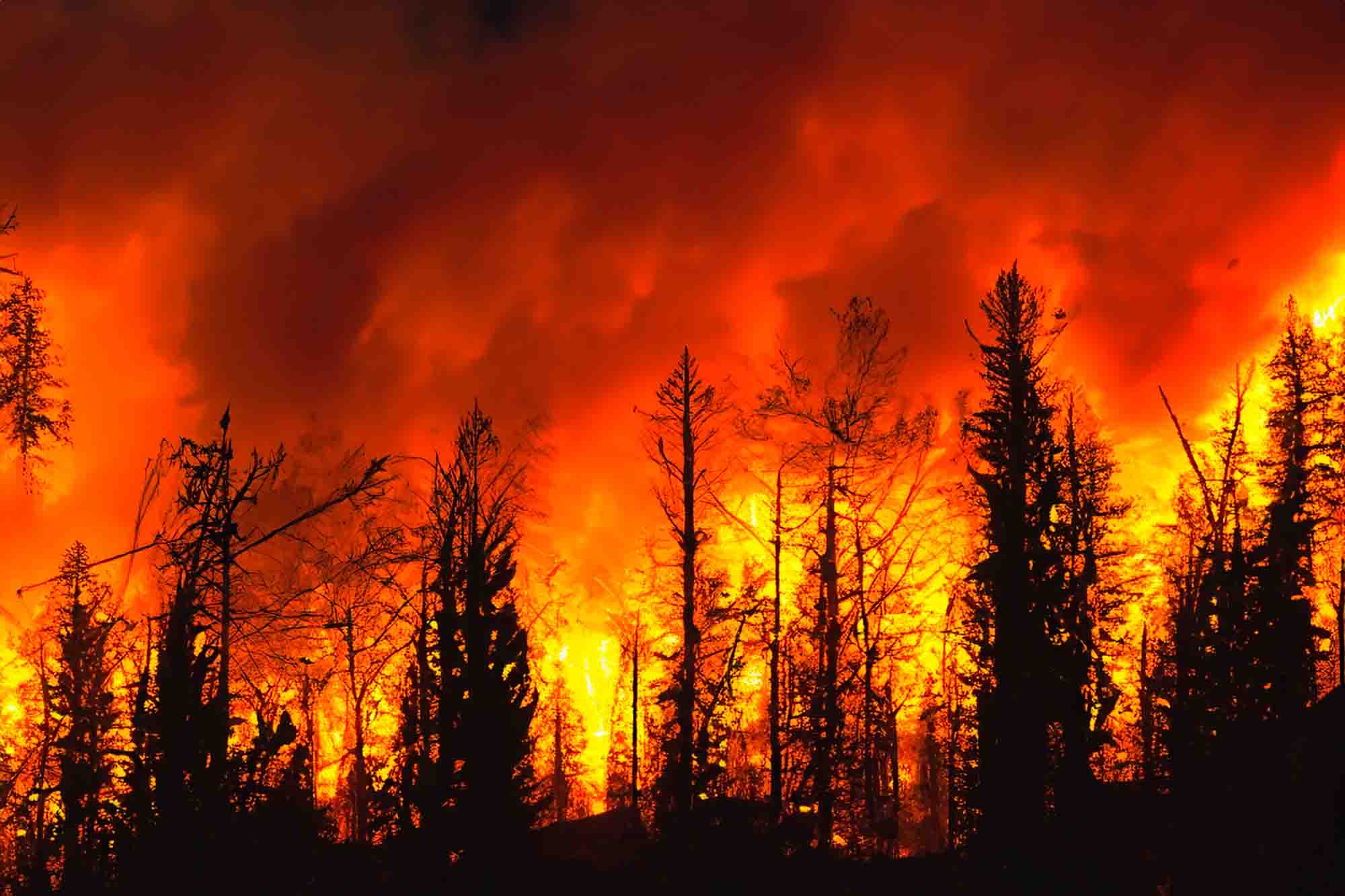
Wildfire season transforms local transit across mountain communities, and driving through Kern County requires constant vigilance. When dry brush, high winds, and soaring temperatures converge, regional transit corridors face sudden restrictions, smoke-related visibility drops, and emergency closures. If you're navigating the mountain passes around Tehachapi during peak fire activity, knowing how to track route changes keeps you safe and prevents frustrating delays.
Local highway infrastructure relies heavily on major arteries like State Route 58, connecting commuters and freight through the Tehachapi Loop region. When nearby blazes spark, fire apparatus deployment and shifting wind patterns can prompt sudden lane restrictions or hard closures. Relying on real-time data instead of static mapping apps makes all the difference when conditions change by the minute.
Understanding Tehachapi Mountain Transit Risks
The geography surrounding Tehachapi creates unique transit vulnerabilities. Steep grades, narrow canyon passes, and abundant dry vegetation mean that a spark anywhere near State Route 58 or local connector roads can escalate quickly.
Smoke is often the first hazard drivers encounter. Heavy particulate matter reduces visibility to dangerous levels, turning a clear morning commute into a low-speed crawl. Furthermore, emergency response vehicles require wide clearance along shoulders and lanes, forcing highway patrols to implement pacing operations or temporary shutdowns.
- Reduced visibility from dense smoke plumes can obscure debris and stalled traffic.
- Emergency vehicle staging frequently restricts shoulder access and off-ramps.
- Power outages can disable crucial traffic signals along local commercial corridors.
Essential Tools for Tracking Real-Time Road Status
Static GPS apps don't always update fast enough during fast-moving incidents. Checking official state and local channels ensures you get accurate, verified closures before you get stuck in gridlock.
The primary resource for state highways is the Caltrans QuickMap tool, which displays live traffic speeds, CHP incidents, and active chain or closure controls. For local county-maintained roads branching off the highway, keeping an eye on updates from the Kern County Sheriff's Office or local fire protection districts provides critical neighborhood-level context.
- Check the official state highway portal before leaving your driveway.
- Monitor local emergency radio frequencies or official county social media channels for sudden evacuation warnings.
- Keep your vehicle's fuel tank at least half full during high-risk red flag warning days.
Alternate Routes and Evacuation Preparedness
When primary connectors face restrictions, knowing secondary paths helps you avoid gridlock. However, mountain backroads can narrow significantly and may lack cellular reception, making them risky if smoke or fire shifts unexpectedly.
Always prioritize official instructions from law enforcement over your navigation app's alternate route suggestions. If an evacuation order drops, emergency personnel design specific outbound lanes to manage volume. Trying to outsmart traffic by taking unpaved service roads often leads to blocked paths or trapped vehicles.
Safety Note: Never drive past hard road closures or police barricades. Even if a road looks clear, active fire behavior can jump terrain or drop burning debris behind you.
✨ Don't miss: Zephyrhills Flea Market: Smart Shopping Guide
Common Mistakes Drivers Make During Fire Season
Many motorists underestimate how fast mountain conditions deteriorate during a red flag warning. Avoiding these common errors protects you and keeps emergency lanes open for first responders.
- Ignoring Red Flag Warnings: Assuming dry, windy days won't affect your specific route until you see flames.
- Relying Solely on Consumer GPS: Using maps that fail to reflect emergency closures implemented minutes prior.
- Overloading Small Roads: Attempting to take narrow fire roads that aren't rated for high-volume evacuation traffic.
Frequently Asked Questions
How do I check if State Route 58 is open near Tehachapi?
You can verify live conditions by visiting the official Caltrans highway information portal or checking real-time traffic maps provided by the California Department of Transportation before you travel.
What should I do if I encounter heavy smoke on the highway?
Reduce your speed immediately, turn on your low-beam headlights, and increase the following distance between your vehicle and the car ahead. Avoid sudden braking unless necessary.
Are local backroads safer to use during a wildfire?
Usually no. Backroads can become blocked by fallen trees, utility poles, or spot fires, and they often lack emergency services coverage or cellular connectivity. Stick to primary highways unless directed otherwise by law enforcement.
How can I track active evacuation orders in Kern County?
Local law enforcement and emergency services publish real-time evacuation maps and alerts. You can monitor official county emergency portals or register for local reverse-911 notification systems.


