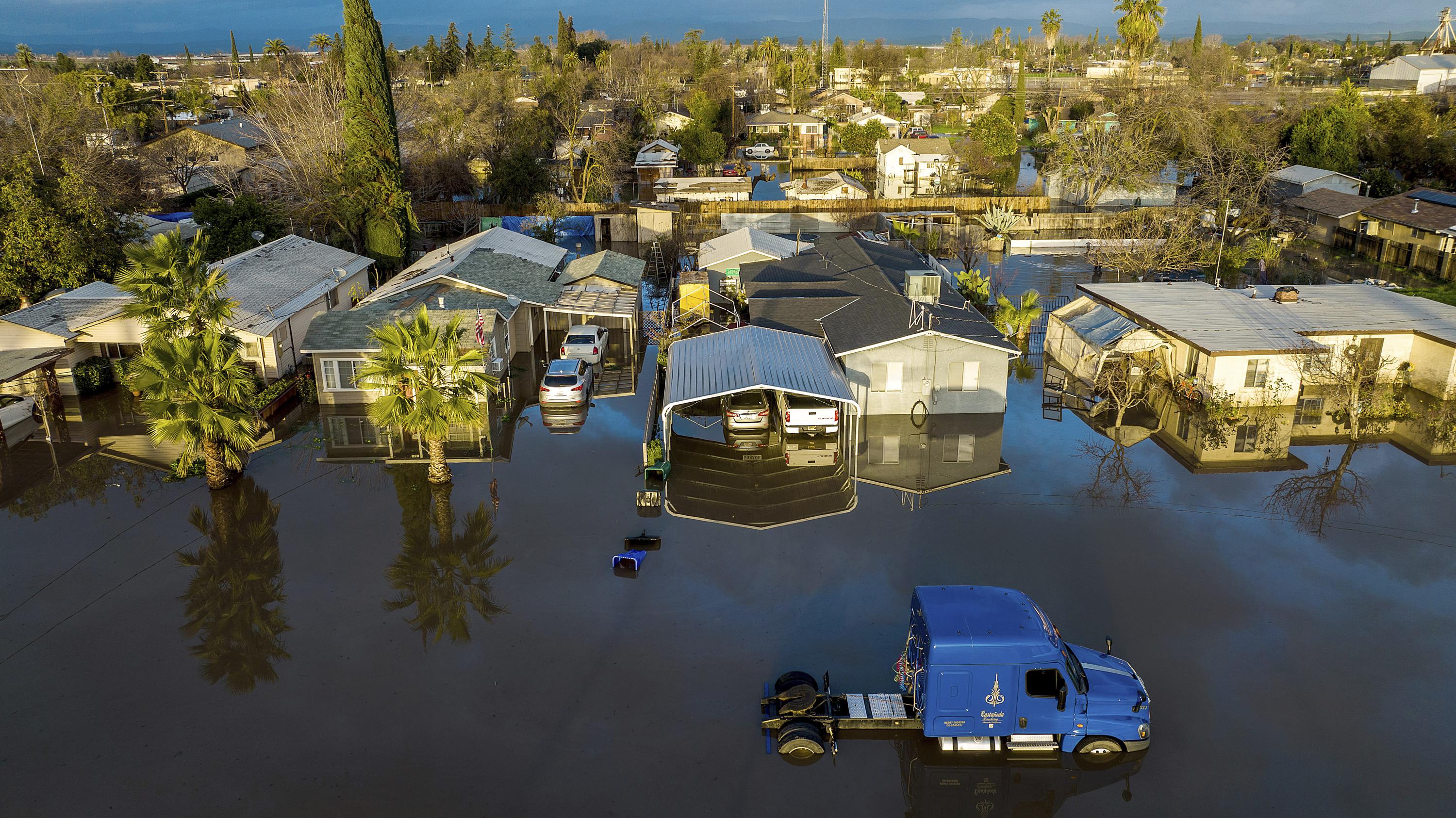
Navigating Tampa real estate requires looking beyond waterfront views and square footage to examine the lines drawn on federal maps. FEMA flood designations dictate whether a property requires mandatory insurance, how much rebuilding will cost after a storm, and whether lenders will approve a mortgage. With miles of coastline along Tampa Bay and the Gulf of Mexico, properties across Hillsborough County face distinct hydrological profiles that shift property values overnight.
Understanding these maps isn't just about avoiding water damage; it's about financial survival in a market where insurance premiums fluctuate wildly based on elevation and zone codes. Whether you're eyeing a bungalow in Seminole Heights or a condo on Davis Islands, knowing how flood zones operate in the Bay Area will protect your investment.
Decoding FEMA Flood Zone Designations in Hillsborough County
The Federal Emergency Management Agency categorizes land using Flood Insurance Rate Maps. In the Tampa area, these codes determine building requirements and risk levels. Knowing the alphabet soup of flood zones helps buyers evaluate the true holding costs of a home.
- Zone X (Unshaded and Shaded): Unshaded Zone X represents areas outside the 500-year floodplain, indicating minimal flood hazard. Shaded Zone X marks moderate-risk areas within the 500-year floodplain or areas protected by levees. While mortgage lenders don't mandate flood insurance here, severe weather events still cause localized ponding.
- Zone A and AE: These are high-risk Special Flood Hazard Areas with a 1% annual chance of flooding, commonly called the 100-year floodplain. Zone AE includes base flood elevations determined by detailed hydraulic analyses. Most homes in neighborhoods near the Hillsborough River or low-lying coastal pockets fall into these categories, triggering mandatory insurance for federally backed loans.
- Zone V and VE: Coastal high-hazard areas subject to wave action and storm surges. Properties along the Bayshore corridor or barrier island fringes often carry this designation. Building codes here are exceptionally strict, requiring elevated pilings and open foundations to let storm waters pass underneath without destroying structural supports.
How Flood Maps Impact Tampa Real Estate Valuations
Flood zone designations exert direct pressure on property values across the Bay Area. When FEMA updates its maps to expand high-risk boundaries, hundreds of homeowners suddenly find themselves facing new insurance mandates. This shift can deflate property valuations or stall transactions as buyers recalculate their monthly carrying costs.
Sellers in newly minted high-risk zones frequently encounter hesitant buyers. A home with an affordable mortgage suddenly becomes significantly more expensive once mandatory flood insurance enters the equation. Conversely, properties sitting safely in shaded or unshaded Zone X command a premium, especially as buyers prioritize peace of mind and lower fixed expenses.
Real estate agents and title companies in Hillsborough County now make flood map verification a standard part of due diligence. Savvy investors analyze historical storm surge data alongside current zoning to identify undervalued properties where elevation mitigates actual risk despite unfavorable map lines.
The Financial Reality of Flood Insurance in the Bay Area
Insurance costs in Florida have undergone massive structural changes, and flood coverage is no exception. The National Flood Insurance Program transitioned to Risk Rating 2.0, a pricing methodology that calculates risk based on individual property characteristics—such as foundation type, distance to water, and structural elevation—rather than broad zone generalizations.
Under this system, two homes side-by-side in an AE zone can pay drastically different premiums. A home elevated on solid fill dirt might see lower rates than a historic home sitting at ground level. Private flood insurance markets have also expanded in Tampa, offering competitive alternatives to federal policies for properties with unique risk profiles.
Lenders enforce these requirements strictly. If your property sits in a high-risk zone and you hold a mortgage, maintaining an active flood policy is non-negotiable. Lenders will force-place coverage at exorbitant rates if your policy lapses, making proactive shopping essential for long-term financial health.
According to the Federal Emergency Management Agency, understanding your specific risk rating can save thousands of dollars annually through mitigation discounts and elevation certificates.
Construction and Mitigation Strategies for Tampa Properties
Building or renovating in Tampa's flood zones means adhering to stringent local codes enforced by Hillsborough County and the city of Tampa. These regulations aim to minimize structural damage and keep community flood insurance rates manageable through programs like the Community Rating System.
Elevating living spaces above the Base Flood Elevation stands as the most effective defense. For homes in Zone V, this requires open foundations using pilings or columns. In Zone A, stem wall foundations with engineered flood vents allow water to flow freely through crawl spaces, equalizing hydrostatic pressure and preventing walls from collapsing.
Homeowners also turn to localized retrofitting. Installing backflow preventers on sewer lines stops storm water from surging backward into sinks and toilets during high tides. Using closed-cell spray foam insulation and water-resistant drywall minimizes repair costs after minor water intrusion.
Frequently Asked Questions
How do I find out which flood zone a Tampa property is in?
You can look up any address using the FEMA Flood Map Service Center or check the Hillsborough County property appraiser website, which links directly to local parcel-specific flood data and zoning overlays.
Does homeowners insurance cover flooding in Tampa?
Standard homeowners insurance policies exclude flood damage entirely. Protecting your home requires a separate policy purchased through the National Flood Insurance Program or a private flood insurance carrier.
What is an elevation certificate and do I need one?
An elevation certificate is a document prepared by a licensed surveyor that records a building's elevation relative to the estimated flood height. It is often required by insurance agents to determine exact premium rates and can lower your costs if your home sits above the base flood elevation.
Can a property be removed from a high-risk flood zone?
Yes. If natural ground elevation is higher than the base flood elevation, property owners can apply for a Letter of Map Amendment through FEMA to officially remove the structure from the high-risk designation and eliminate mandatory insurance requirements.


