Navigating rural land records requires more than a standard paper map. Stokes County GIS mapping provides precision data for property lines, ownership histories, and geographic boundaries across the northern Piedmont of North Carolina. Whether you're checking acreage near Danbury, tracking property taxes, or analyzing zoning regulations, digital spatial data transforms how residents, surveyors, and prospective buyers interact with local land information.
Stokes County covers a unique mix of rolling hills, agricultural tracts, and residential parcels near the Sauratown Mountains. Accessing accurate geographic records helps property owners prevent boundary disputes, evaluate land values, and understand local infrastructure. This guide breaks down how Stokes County organizes its digital mapping infrastructure, where to find key parcel layers, and how to use spatial data effectively.
Understanding Stokes County GIS Infrastructure
Geographic Information Systems (GIS) combine spatial coordinates with attribute data, such as tax identification numbers, deed book references, and acreage totals. In Stokes County, the local mapping department maintains these spatial records to support taxation, emergency response, and community planning.
The county works alongside broader state initiatives like NC OneMap to aggregate standardized spatial layers. These public repositories ensure that digital parcel boundaries align cleanly with aerial photography and topographic overlays.
Core Data Layers Available in Stokes County Maps
When you open a local parcel viewer or query regional datasets, several primary layers appear by default:
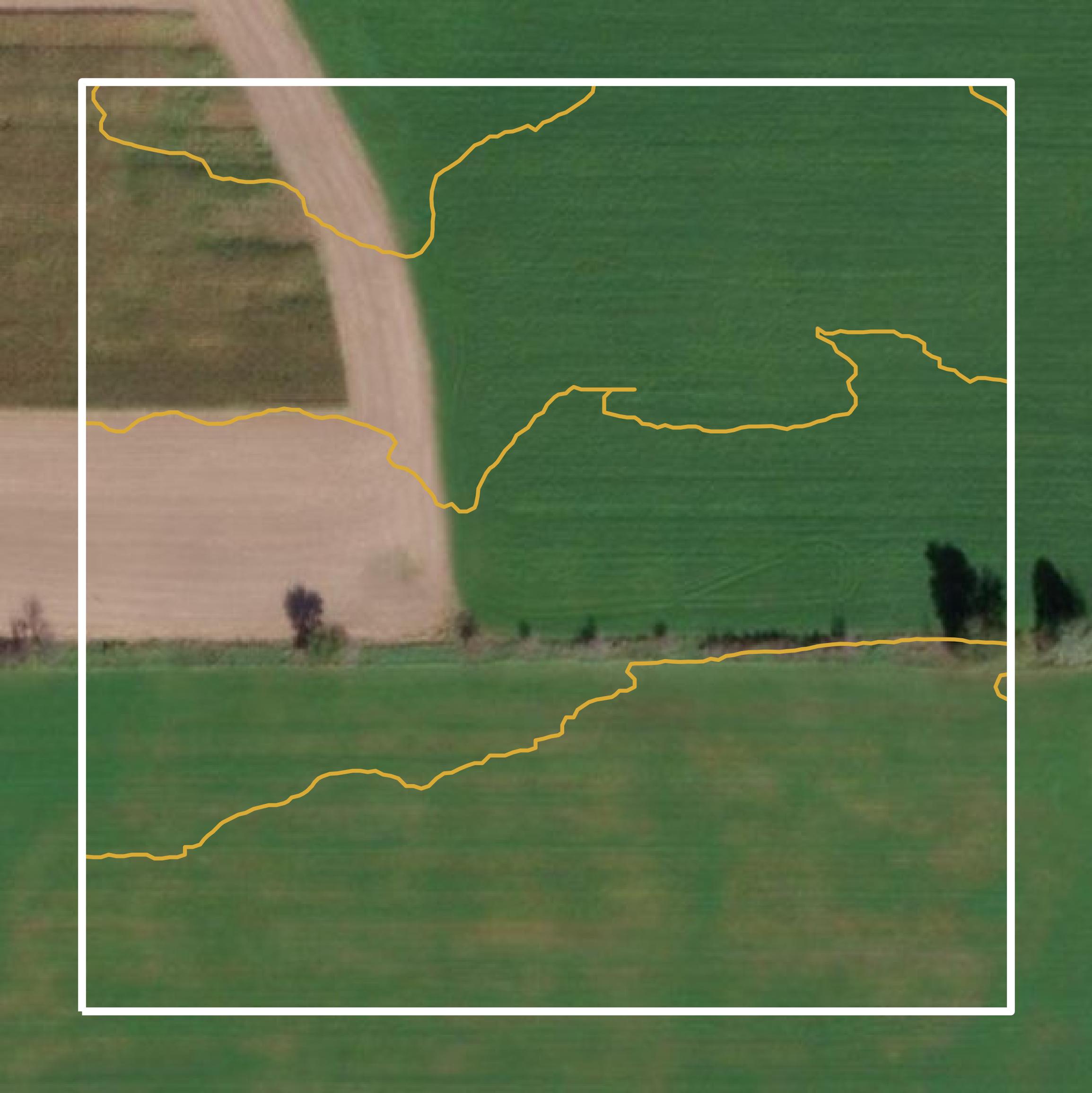
- Parcel Polygons: Digital boundaries outlining individual land ownership tracts, complete with unique Parcel Identification Numbers (PINs).
- Administrative Boundaries: Municipal limits, county lines, township divisions, and voting precincts.
- Topography and Elevation: Contour lines reflecting the hilly terrain, ridges, and valleys characteristic of the Stokes County landscape.
- Hydrography: Creeks, rivers, and watershed boundaries, including segments influenced by the Dan River.
- Transportation Networks: State highways, secondary roads, and county-maintained maintenance routes tracked by the North Carolina Department of Transportation.
How to Access and Search Stokes County Property Records
Finding specific property details online depends on knowing which office holds the official record. Stokes County integrates its mapping data with tax administration and the Register of Deeds office.
If you're conducting a title search or checking a neighbor's boundary line, follow these steps to pull reliable records:
- Identify the property's address, owner name, or PIN if known from previous tax documents.
- Access the county's mapping portal or commercial aggregators like Regrid Stokes County Data to isolate the target parcel polygon.
- Cross-reference the parcel's unique PIN with the Stokes County Tax Administration to review current valuation and assessment history.
- Pull associated deed books and plat maps from the Register of Deeds to verify historical easements or covenants.
Common Use Cases for Rural Parcel Data
Precision mapping isn't just for municipal planners. Rural counties like Stokes generate heavy demand for geographic data across several distinct industries.
Agriculture and Land Valuation
Farmers and agricultural investors analyze soil productivity indices, slope percentages, and historical cropping patterns using spatial platforms like FBN AcreVision. Overlaying GIS boundaries onto agricultural land helps evaluate long-term crop yields and manage irrigation boundaries.
Civil Engineering and Utility Planning
Engineers working on rural infrastructure projects rely on raw shapefiles. Providers like Mapping Solutions GIS Parcel Data supply bulk CAD-ready polygon files containing standardized attributes such as landowner mailing addresses, site locations, and total acreage.
Real Estate Due Diligence
Buyers purchasing wooded or rural acreage often encounter ambiguous historical descriptions like "metes and bounds." Modern GIS overlays help verify whether fence lines match deeded acreage before closing a transaction.
Common Mistakes to Avoid When Using County GIS
Relying solely on digital map interfaces can lead to costly errors if users misunderstand the limitations of public spatial data.
- Treating GIS lines as legal surveys: Digital parcel boundaries are compiled from historical deeds and tax maps for administrative use. They don't replace an on-the-ground boundary survey performed by a licensed professional land surveyor.
- Ignoring coordinate projection mismatches: When importing county shapefiles into software like ArcGIS or QGIS, failing to set the correct state plane coordinate system will cause layers to misalign with aerial imagery.
- Assuming real-time updates: While tax rolls update regularly, newly subdivided parcels can take several weeks or months to appear on public web maps. Always check the metadata for the latest revision date.
Frequently Asked Questions
Are Stokes County GIS maps free to view online?
Yes, basic property boundaries and public tax assessment records can be viewed through county portals and public mapping platforms without a fee. Bulk raw data downloads may require specialized commercial vendors.
How do I find historical plat maps for older Stokes County properties?
Historical subdivisions and recorded plats are archived through the Stokes County Register of Deeds office in Danbury. You can search document indices online or visit the office to view scanned deed books.
What is a PIN and why do I need it?
A PIN stands for Parcel Identification Number. It's a unique sequence assigned by the county tax assessor to every distinct piece of real estate, making it the fastest way to pull tax, GIS, and deed records for a specific lot.
Can I export Stokes County parcel data into CAD or Google Earth?
Yes. Many professional mapping tools allow users to export selected parcels into standard spatial formats including shapefiles (.shp), Keyhole Markup Language (.kml), or comma-delimited spreadsheets (.csv).