Maryland holds a unique place in the American mosaic, bridging the cultural divide between the Mid-Atlantic, the Northeast, and the South. Known formally as the Old Line State—a nod to the courageous regular line troops who fought under General George Washington during the Revolutionary War—it packs immense geographical and historical diversity into a relatively compact footprint. From the maritime culture of the Chesapeake Bay to the rugged ridges of Western Maryland, the state serves as a microcosm of the nation itself.
Understanding Maryland requires looking beyond basic statistics to examine how its colonial roots, strategic location, and distinct regional economies shaped its identity. Whether you're exploring its political evolution, its pivotal role in early American history, or its modern economic drivers, the state offers a fascinating study in contrast and community.
Origins of the Old Line State Nickname
The moniker "Old Line State" stems from Revolutionary War history. General George Washington is widely credited with bestowing the name to honor the Maryland Line, a group of elite infantry regiments.
During the Battle of Long Island in August 1776, these Maryland troops executed a series of courageous rear-guard actions against overwhelming British forces. Their sacrifice allowed the main body of the Continental Army to escape total destruction. Though suffering devastating casualties, the Maryland troops earned a legendary reputation for discipline and bravery, cementing the "Old Line" moniker in American military lore.
Maryland also carries a secondary nickname: the "Free State". This title originated later, in 1919, when the state legislature fiercely opposed federal Prohibition laws, choosing not to enact state-level enforcement legislation in defense of states' rights.
Geography and America in Miniature
Covering just over 12,400 square miles, Maryland ranks as the ninth-smallest state by land area. Yet, within these modest boundaries lies a remarkably diverse landscape that earned it the descriptive subtitle America in Miniature.
The state's topography transitions dramatically from east to west:
- The Eastern Shore: Flat, low-lying coastal plains characterized by sandy dunes, extensive wetlands, and rich agricultural fields bound by the Atlantic Ocean and the Chesapeake Bay.
- The Chesapeake Bay: A massive estuary that virtually bisects the state, serving as an ecological engine, a commercial shipping highway, and the cultural heart of Maryland maritime life.
- The Piedmont Region: Gently rolling hills, fertile river valleys, and major urban centers like Baltimore and the suburban rings surrounding Washington, D.C.
- Western Maryland: Rugged forested ridges, including the Catoctin Mountains and Backbone Mountain—the state's highest point at 3,360 feet—situated within the broader Appalachian range.
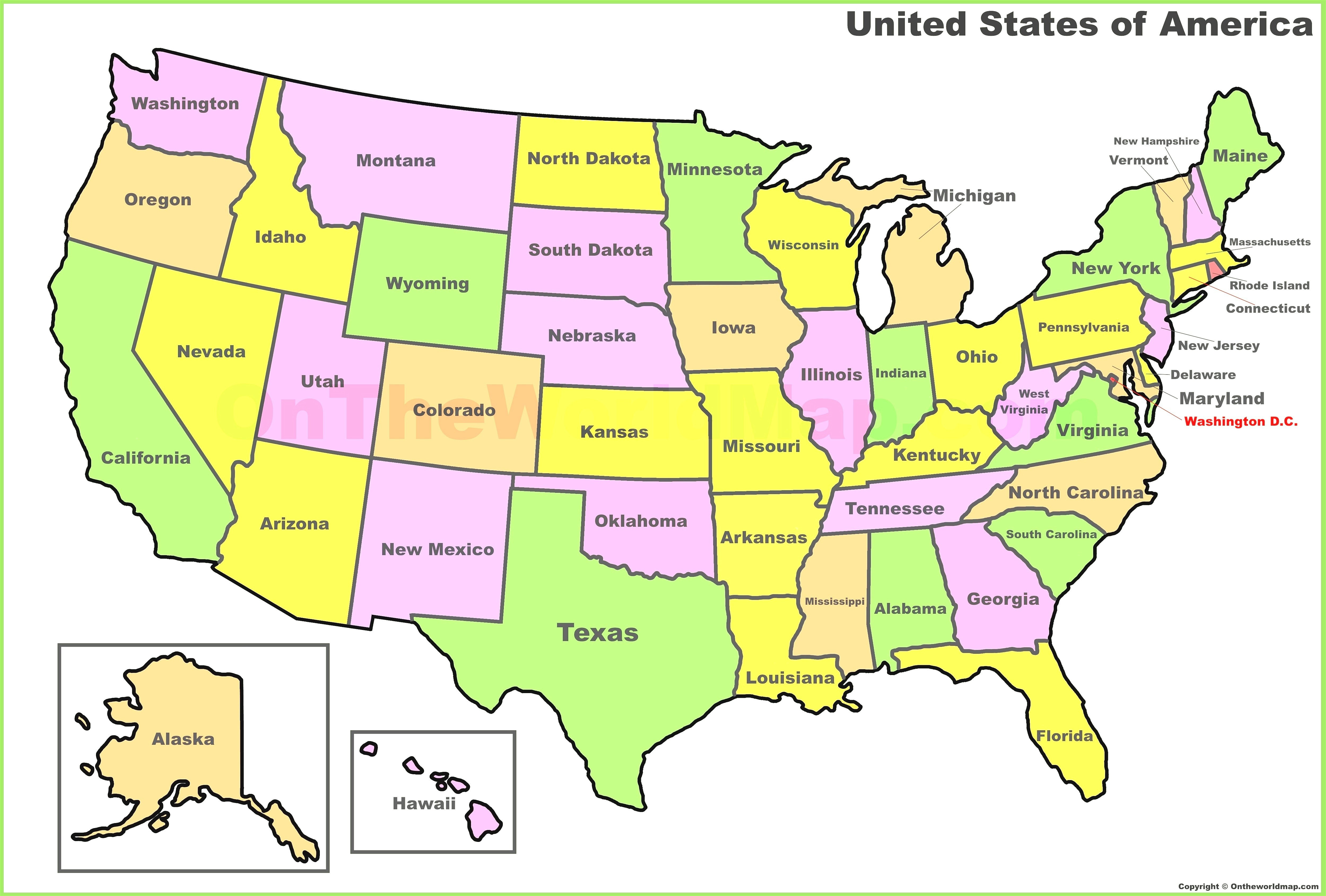
Bordered by Pennsylvania to the north, Delaware and the Atlantic Ocean to the east, and Virginia and West Virginia across the Potomac River to the south and west, Maryland's borders reflect centuries of colonial land grants and legal disputes, most famously settled by the survey of the Mason-Dixon Line.
Historical Milestones and Colonial Roots
Established as a proprietary colony, Maryland was chartered in 1632 by King Charles I to Cecilius Calvert, Lord Baltimore. Named in honor of Queen Henrietta Maria, the colony was envisioned as a haven for persecuted English Catholics, though it quickly attracted settlers of various Christian denominations.
In 1649, the Maryland General Assembly passed the Act Concerning Religion (often called the Maryland Toleration Act), an early legislative attempt to mandate religious tolerance among trinitarian Christians. While limited by modern standards, it marked a significant step in the evolution of religious freedom in North America.
The colonial economy flourished through tobacco cultivation, relying heavily at first on indentured servants and later on the brutal institution of enslaved labor. During the American Revolution, Annapolis served as the temporary capital of the United States, and it was in the Maryland State House where the Treaty of Paris was ratified in 1784, officially ending the war.
During the Civil War, Maryland remained a bitterly divided border state. Though it stayed in the Union, its strategic location adjacent to the federal capital made it a focal point of immense military and political tension, highlighted by clashes such as the Battle of Antietam in 1862.
Modern Economy and Infrastructure
Today, Maryland boasts a robust, diversified economy heavily influenced by its proximity to the nation's capital. Federal agencies, defense contractors, and research institutions drive significant employment. Key installations include:
- National Institutes of Health (NIH) in Bethesda
- NASA Goddard Space Flight Center in Greenbelt
- Fort Meade, housing the National Security Agency (NSA) and Cyber Command
Beyond government and defense, the state's economy relies on higher education, biotechnology, life sciences, and port commerce centered around the Port of Baltimore. Traditional industries like blue crab harvesting and oyster fishing remain vital to the cultural and economic fabric of the Chesapeake Bay communities.
Common Misconceptions About Maryland
When people study Maryland, a few recurring errors often surface:
- Confusing the Mason-Dixon Line origin: Many assume the "Old Line State" nickname references the famous boundary line surveyed by Charles Mason and Jeremiah Dixon. In reality, the nickname honors Revolutionary War soldiers, whereas the Mason-Dixon line was drawn to resolve a colonial property dispute between Pennsylvania and Maryland.
- Assuming Annapolis is the largest city: While Annapolis serves as the political capital and home to the United States Naval Academy, Baltimore is by far the most populous city and economic powerhouse.
- Overlooking Western Maryland: Pop culture often reduces Maryland to the Chesapeake Bay and Washington suburbs, ignoring the rugged, mountainous Appalachian geography that defines the state's western panhandle.
Frequently Asked Questions
Why is Maryland called the Old Line State?
The nickname honors the Maryland Line, regular infantry regiments that displayed extraordinary valor during the American Revolution, specifically protecting the retreating Continental Army at the Battle of Long Island.
What is the capital of Maryland?
Annapolis serves as the state capital. Located on the Chesapeake Bay, it is recognized for its historic colonial architecture and the United States Naval Academy.
Why is Maryland referred to as America in Miniature?
This descriptor highlights the state's diverse geography. Within its borders, it features sandy ocean beaches, tidal wetlands, rolling Piedmont hills, and rugged mountain ranges.
What major federal institutions are located in Maryland?
Maryland hosts several prominent federal agencies, including the National Institutes of Health, NASA's Goddard Space Flight Center, and the National Security Agency at Fort Meade.



