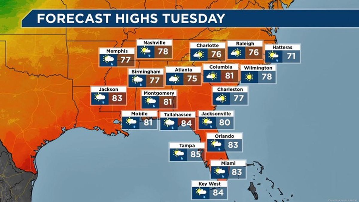
The southeastern United States features a predominantly humid subtropical climate defined by hot, moisture-laden summers and mild winters, but it contains striking geographic diversity. Bordered by both the Atlantic Ocean and the Gulf of Mexico, the region experiences intense regional variation shaped by coastal proximity, latitude, and elevation. While coastal plains stay warm and humid year-round, high-elevation zones in the Appalachian Mountains maintain cooler temperate conditions. Understanding this complex ecosystem requires looking beyond a single weather label to examine how microclimates, ocean currents, and changing atmospheric conditions interact.
Over recent decades, shifts in temperature baselines, extreme precipitation events, and hurricane frequencies have transformed the local environment. Meteorological data tracked by agencies like the USDA Southeast Climate Hub show clear upward trends in average temperatures since the 1970s. To grasp what's happening across the Southeast, we have to break down its core geographical zones, seasonal patterns, and the tangible factors driving long-term transformation.
Core Geographic Zones and Microclimates
The vast territory stretching from Virginia down to Florida and west toward the Mississippi River is far from uniform. Elevation changes and distance from major water bodies split the region into distinct climatic sub-regions.
Coastal Plains and Lowlands
The coastal zones of the Atlantic and the Gulf experience heavy maritime influence. Summers bring high humidity levels and frequent afternoon convective thunderstorms triggered by sea breezes. Winters are exceptionally mild, with hard freezes remaining rare near the southern peninsula of Florida or the immediate coastline. Because warm ocean waters fuel evaporation, these areas face the highest risk of tropical storm strikes and severe coastal flooding.
The Appalachian Highlands
As elevation rises into the Appalachian Mountains across North Carolina, Tennessee, and northern Georgia, temperatures drop significantly. This zone features distinct four-season dynamics. Winters bring freezing temperatures and regular snowfall, whereas summers stay mild and pleasant. Valleys within this terrain often trap cold air, creating distinct microclimates that differ sharply from the surrounding lowlands.
Interior Plateaus and Rolling Hills
Spanning parts of Kentucky, Tennessee, and Alabama, the interior plateaus sit between the coastal flats and the high mountains. These areas experience hot summers and moderately cool winters. Precipitation here is distributed more evenly across the calendar year compared to the coastal storm peaks, though seasonal dry spells occasionally develop during late summer.
Seasonal Weather Patterns and Drivers
Weather systems in the Southeast are governed by interactions between continental air masses from Canada and warm, moist air streaming north from the Gulf of Mexico.
Summer Convection and Humidity
Summer brings high heat combined with moisture that creates a heavy, humid atmosphere. High-pressure systems often stall over the region, trapping warm air and producing daily afternoon thunderstorms. These storms are localized and brief, yet they drop inches of rain in a matter of hours, contributing heavily to the region's annual precipitation total.
Winter Frontal Systems
Winters lack the bitter arctic blasts found in the Midwest, but cold fronts regularly sweep down from the north. When these cold air masses collide with warm maritime air along the coast, they generate prolonged rain events and occasional severe weather outbreaks, including winter tornadoes. True snowfall is rare outside the mountains and northern tiers.
Tropical Storms and Hurricanes
From June through November, the Southeast coastline faces the threat of tropical depressions, tropical storms, and major hurricanes. Landfalls occur frequently along the Gulf Coast, Florida, and the Carolinas. These systems bring destructive winds, catastrophic storm surges, and massive inland flooding that can alter local river basins for months.
Natural Climate Variability and Atmospheric Cycles
Local weather isn't just a product of local geography; it's heavily influenced by recurring global climate cycles.
- El Niño-Southern Oscillation (ENSO): During La Niña phases, the Southeast tends to experience warmer, drier winters, which elevates the risk of seasonal drought. El Niño phases often bring cooler, wetter conditions with an increased frequency of winter storm tracks.
- North Atlantic Oscillation (NAO): Positive phases of the NAO can pull warmer air into the region, while negative phases allow cold air masses to push further south, altering precipitation types and frequencies.
These oscillations create natural multi-year droughts and wet periods that complicate long-term meteorological analysis.
Observed Climate Changes and Future Projections
Scientific tracking reveals that the Southeast is undergoing measurable atmospheric shifts. According to assessments by the U.S. Global Change Research Program, historical climate trends are intensifying.
Temperature Increases
Average annual temperatures across the region have risen steadily since the middle of the 20th century. The number of days exceeding 95°F is climbing, particularly in inland valleys and southern Florida. Nights are also staying warmer, with minimum temperatures frequently staying above 75°F in urban and coastal pockets during summer months.
Shifting Rainfall and Extreme Weather
While total annual precipitation has stayed relatively stable in some areas, the timing and intensity of rainfall have changed. Light, steady rains are happening less often, replaced by intense downpours that overwhelm drainage systems and trigger flash floods. Conversely, extended dry spells during the summer months cause agricultural stress and lower reservoir levels.
Sea Level Rise
Along the low-lying coastlines of Louisiana, Mississippi, Alabama, Florida, and Georgia, relative sea levels are rising faster than the global average. This is driven by a combination of actual sea level rise and land subsidence. Higher waters worsen coastal erosion and turn routine high tides into nuisance flooding streets and neighborhoods.
Frequently Asked Questions
What defines the climate of the Southeast US?
The core of the region has a humid subtropical climate featuring hot, humid summers, short and mild winters, and rainfall distributed throughout the year.
How does elevation affect temperature in this region?
Temperatures drop as elevation increases. While coastal regions stay warm year-round, high-altitude areas like the Appalachian Mountains experience cold winters and mild summers.
Are hurricanes becoming more frequent in the Southeast?
Historical records indicate an increase in the proportion of major hurricanes (Category 3 and above) over recent decades, driven by warmer ocean surface temperatures.
How do El Niño and La Niña impact southeastern weather?
La Niña typically brings warmer, drier winters that increase drought risks, whereas El Niño often brings wetter, cooler winter conditions with heavier storm activity.


