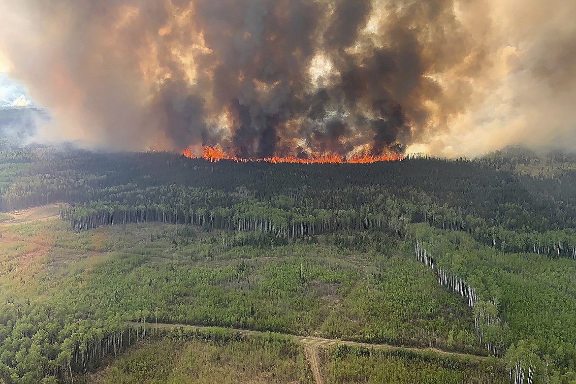
Navigating emergency alerts during a wildfire requires more than just glancing at a red blob on a screen. When Santa Ana winds push dry brush across Southern California canyons, understanding the official San Diego fire map tools can mean the difference between a safe evacuation and getting trapped. Public safety dashboards combine live perimeters, wind tracking, and local hazard zones, but they often overwhelm residents with complex GIS layers and dense emergency jargon.
Official resources like the AlertSanDiego Maps Portal and local fire hazard databases provide real-time intelligence, yet interpreting them correctly takes preparation. This guide breaks down how to read these mapping platforms, decipher evacuation warnings, and prepare your property before a threat materializes.
Understanding San Diego Wildfire Mapping Tools
Emergency mapping tools use multiple overlapping layers to display active threats. Knowing what each layer represents helps you filter out noise and focus on what matters to your specific neighborhood.
- Active Fire Perimeters: Usually shown as shaded polygons outlined in red, these represent the best-known outer boundaries of a burning fire. They don't update second-by-second, so treat the edges as fluid lines.
- Thermal Hotspots: Represented by bright satellite-detected thermal points. These can indicate active flames or heavy smoldering, but they occasionally trigger false positives from industrial sites or steep terrain reflections.
- Wind Vectors and Weather Overlays: Critical for predicting fire spread. Wind speed and direction arrows show where embers are likely to travel next.
- Jurisdictional Boundaries: Distinguishes between State Responsibility Areas (SRA) and Local Responsibility Area (LRA) zones managed by local municipal departments.
Evacuation Zones and Warning Levels
Maps don't just show where the fire is; they dictate how you should respond. San Diego County uses standardized emergency staging phases that appear directly on interactive evacuation dashboards.
Advisory and Warning Stages
An evacuation warning means threat levels are elevated, and you should be prepared to leave at a moment's notice. Gather your pets, medications, and crucial documents. An evacuation order means immediate mandatory departure. Waiting to see flames puts you at severe risk of road congestion or heavy smoke entrapment.
Traffic Control Points and Road Closures
Active incident maps display road blocks and checkpoints managed by law enforcement. These points prevent civilian entry into hazard zones and keep evacuation corridors clear for incoming fire engines. Checking the map before getting into your car prevents you from driving straight into a closed artery.
Identifying Your Property Risk: Fire Hazard Severity Zones
Beyond active fires, you need to know your baseline risk level long before a red flag warning is issued. The state fire marshal and local agencies update the Very High Fire Hazard Severity Zones in San Diego to rate landscapes based on vegetation, topography, and climate history.
Properties located in moderate, high, or very high severity zones face strict building codes. If you live near major canyon systems in neighborhoods like Scripps Ranch, Tierrasanta, or parts of East County, your local parcel data dictates specific vegetation clearance rules.
Essential Steps for Wildfire Readiness
Waiting for an active fire to check your readiness plan is too late. Taking proactive measures hardens your home and simplifies decision-making during a crisis.
- Clear Defensible Space: Maintain a defensible space perimeter around your structure. Clear dead brush, dry leaves, and flammable debris at least 100 feet from your home.
- Harden Your Structure: Install multi-pane tempered glass windows, box in eaves with fire-resistant materials, and clear your rain gutters of dry pine needles where wind-driven embers collect.
- Download Emergency Apps: Install the SD Emergency app and bookmark official alert portals on your mobile device so you can access location-enabled maps on cellular data networks if power fails.
- Pack an Go-Bag: Keep irreplaceable documents, emergency cash, N95 respirators, phone chargers, and a three-day supply of medications packed near your exit door.
Common Mistakes When Reading Fire Maps
Misinterpreting data during an emergency can lead to dangerous hesitation. Avoid these frequent pitfalls:
- Treating static maps as live video: Many web maps rely on periodic satellite passes or manual GIS updates. Do not assume a lack of boundary movement means the fire isn't growing.
- Ignoring wind shifts: Focusing solely on the current fire perimeter without checking wind direction leaves you blind to fast-moving spot fires carried miles ahead of the main front.
- Relying on a single source: Cross-reference official county emergency pages with local weather service updates instead of depending entirely on social media screenshots or unverified map shares.
Frequently Asked Questions
Are emergency fire maps updated in real-time?
Most maps feature frequent updates from infrared flights and ground crews, but they experience latency. Always prioritize direct instructions from local law enforcement and firefighters over web map refresh rates.
What is the difference between a watch and a warning on the map?
A watch means conditions are favorable for a wildfire to ignite and spread rapidly. A warning means a fire is actively threatening your area, and you should prepare or execute an immediate evacuation.
How do I check if my specific address is in a high-hazard zone?
You can use the interactive Know Your Hazards tool provided by county emergency services or search your parcel number through local municipal zoning portals to view exact hazard classifications.
Will standard homeowners insurance cover wildfire damage in San Diego?
Most standard policies cover wildfire damage, but availability and premiums vary significantly depending on whether your home sits inside a designated high-severity hazard zone. Check with your carrier to review your specific policy exclusions.