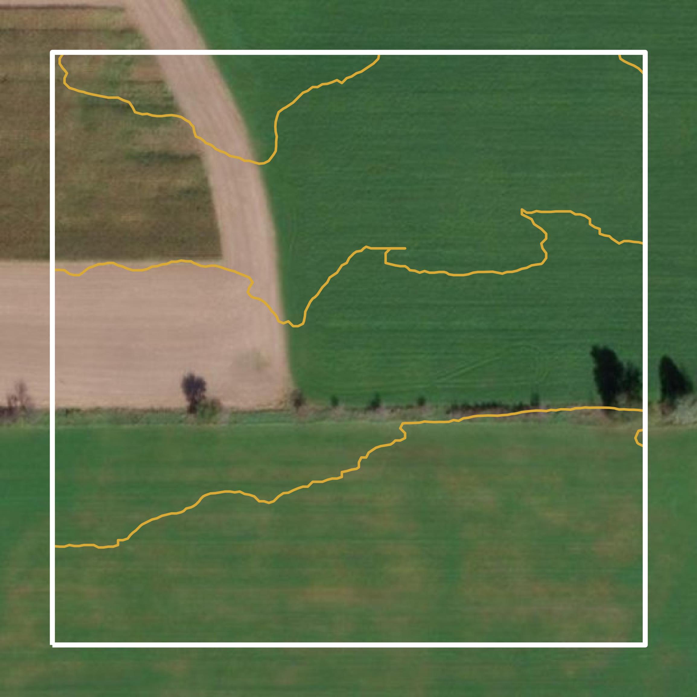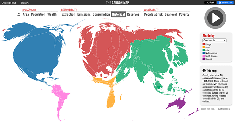
Geographic Information Systems technology has changed how local governments handle land management, emergency response, and community development. In places like Sampson County, North Carolina, spatial databases link property lines, environmental layers, and infrastructure records into a single digital platform. This shift moves community planning away from guesswork and toward precise, map-based decisions.
Data-driven planning helps officials track growth patterns, manage public resources, and evaluate zoning requests with exact spatial accuracy. Instead of relying on static paper maps, county departments and local residents can access live property details, boundary measurements, and environmental overlays through online portals.
The Core Components of Local GIS Infrastructure
A functional geographic information system relies on stacking different layers of digital data over a shared coordinate system. For county planners, these layers create a complete picture of the physical and legal landscape.
- Parcel Boundaries: Digitized property lines linked directly to ownership history, tax assessments, and deed records.
- Environmental Features: Floodplains, wetlands, soil types, and topography that dictate where construction is safe and sustainable.
- Infrastructure Networks: Public water lines, sewer systems, fire hydrants, and transportation right-of-ways.
- Administrative Districts: School zones, voting precincts, fire protection boundaries, and municipal limits.
When these layers interact, planners spot conflicts early. For instance, evaluating a new subdivision proposal requires checking soil constraints, proximity to water mains, and flood zone intersections simultaneously.
Moving From Static Records to Dynamic Spatial Analysis
Historically, local government planning involved flipping through heavy paper plat books and cross-referencing separate binder systems. That workflow created bottlenecks for zoning approvals and property tax assessments.
Modern GIS integration streamlines these administrative duties. When a resident applies for a zoning permit, staff pull up the parcel on the Sampson County GIS Viewer to verify setbacks, easements, and adjacent land uses instantly.
Strategic technology upgrades—such as those outlined in historical framework studies by consultants like WithersRavenel—focus on data consolidation and staff training. These plans ensure that county departments share uniform data standards rather than working in isolated silos.
Practical Impacts on Community Development and Services
Spatial technology affects daily operations across multiple county sectors, improving efficiency for both staff and the public.
Property Assessments and Taxation
Tax administration relies on accurate parcel mapping to ensure fair assessments. GIS tools calculate exact acreage, track split parcels, and update valuation models when land use changes.
Emergency Response and 911 Addressing
Fast dispatch depends on precise spatial data. The GIS office manages 911 Addressing to ensure that every structure has a recognized coordinate and road name, cutting down response times for police, fire, and medical services.
Agricultural and Environmental Preservation
Because rural counties often balance agricultural economies with residential expansion, mapping tools help identify bona fide farm exemptions, protect natural resources, and guide growth away from sensitive environmental areas.
Common Pitfalls in Municipal GIS Implementation
Adopting spatial technology comes with operational hurdles that local governments must navigate carefully.
- Outdated Data Layers: If parcel splits or new subdivisions aren't digitized quickly, planners make decisions based on obsolete boundaries.
- Siloed Departmental Use: When only the tax office uses mapping software, the planning and public works departments miss out on cross-departmental insights.
- Inadequate Training: Advanced software yields poor results if field staff and administrative users don't understand how to query spatial layers correctly.
- Ignoring Public Accessibility: If web portals are difficult for residents to navigate, public inquiries swamp office staff with basic questions.
Frequently Asked Questions
What is a GIS data viewer?
It is an online, interactive mapping tool that lets users search for real estate parcels, view aerial photography, check property lines, and inspect zoning districts without visiting the county office.
How often are county parcel maps updated?
Counties update parcel data continuously as new deeds, plats, and subdivision surveys are filed and processed by mapping technicians.
Can residents submit zoning site plans using digital maps?
Yes. Property owners typically use county GIS mapping layers to gather dimensions, setbacks, and pin numbers required for local zoning and building permit applications.
Who manages county mapping data?
A dedicated GIS coordinator and technical team handle data layers, coordinate GPS collection, and maintain software integration across county departments.