Digital mapping tools have fundamentally altered how local governments handle public records, property assessment, and infrastructure management. In mid-Michigan, the Saginaw Area GIS Authority (SAGA) coordinates land data collection across multiple municipalities, providing residents, businesses, and public officials with centralized access to geographic information systems (GIS). Instead of sorting through paper deeds or visiting multiple municipal offices, users can access comprehensive parcel maps, aerial imagery, and tax descriptions through web portals.
Understanding how this infrastructure operates requires looking beyond simple online maps. Local government GIS platforms integrate assessing databases, local treasurer records, and federal mapping overlays into a single interface. Whether you're a real estate appraiser checking property lines, a civil engineer analyzing utility grids, or a homeowner investigating local zoning, the digital mapping framework streamlines public data access.
What is Saginaw County GIS and How Does It Work?
Saginaw County GIS functions as a collaborative digital repository managed by SAGA, consolidating geographic and municipal data from across the county. The platform aggregates inputs from local municipal assessors, the Saginaw County Equalization Department, and various state agencies.
The architecture relies on cloud hosting and specialized software, such as FetchGIS platforms, to serve map layers directly to web browsers. Users interact with a graphical interface stacked with different thematic layers. Base layers typically include transportation networks, political boundaries, water bodies, and high-resolution aerial photography. Property boundaries, known as parcels, serve as the core cadastral layer, linking physical land spaces to administrative records like state equalized values (SEV), tax identification numbers, and ownership histories. Additional journalism by Bloomberg explores related perspectives on the subject.
Data accuracy depends on synchronization between municipal offices and the authority. While ownership records and parcel splits come directly from the county equalization department (with specific exceptions like the City of Saginaw and Saginaw Township managing their own assessing records), tax data updates flow straight from local treasurers. Specialized layers—such as FEMA flood zones or United States Geological Survey (USGS) soil maps—are supplied directly by federal and state entities.
Core Features of the Saginaw County Interactive Mapping Platform
The public-facing mapping portal provides several tools designed for both casual researchers and professional land-use planners.
- Parcel and Property Search: Users can query specific properties using parcel identification numbers (PINs), owner names, or street addresses to retrieve current assessment details, sales history, and tax status.
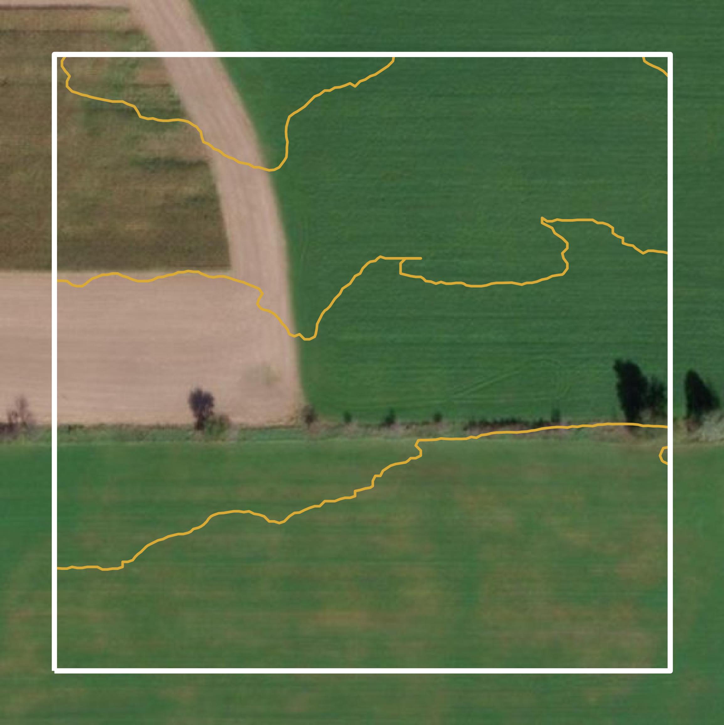
- Aerial Imagery Integration: High-resolution aerial photography allows users to view historical and current land use patterns. Seasonal aerial updates give a clear view of building additions, agricultural boundaries, and vegetative cover.
- Layer Customization: The mapping interface lets users toggle specific data overlays on or off, including school districts, commission districts, zip codes, and municipal boundaries.
- Sales and Market Search Tools: Real estate professionals utilize specialized search options to filter recent property sales by date, price range, or school district, helping with comparative market analyses.
- Specialized Community Maps: Dedicated layers track local infrastructure elements, including cemetery plots, road closures, polling locations, and waste management schedules.
For deeper insights into how public geographic datasets are structured nationally, you can explore resources provided by the U.S. Geological Survey or review state-level standards through the Michigan Department of Technology, Management and Budget.
Practical Applications for Residents and Professionals
Geographic information systems serve far more than tax assessment functions. Municipal departments rely on spatial data for daily operational workflows.
Assessing departments use property boundaries and building footprints to calculate fair market values and monitor structural changes. Maintenance and service divisions track complex underground water and sewer grids to pinpoint maintenance issues quickly. Engineering and traffic departments utilize spatial layers to prioritize road repairs, monitor street light inventory, and manage public safety signage. Meanwhile, the clerk's office coordinates polling locations and voting districts based on precise geographic boundaries.
For private citizens and commercial entities, the platform removes administrative friction. Prospective home buyers verify property dimensions and flood plain statuses before making offers. Contractors evaluate utility easements prior to breaking ground. Local businesses analyze demographic overlays and traffic counts to select optimal retail locations.
Common Misconceptions About County GIS Data
Navigating municipal mapping tools often leads to confusion regarding data ownership and update frequencies. Recognizing these nuances prevents costly errors.
- Assumed Real-Time Updates: Many users assume property splits or ownership transfers appear online immediately. In reality, deeds must be recorded, processed by the equalization department, and synchronized with the GIS database through scheduled batch updates.
- Confusing Assessing Authority: Not all data originates from a single office. While parcel lines come from the GIS authority, specific building details, tax descriptions, and values often originate from local municipal assessors or treasurers rather than the county level.
- Mapping vs. Legal Boundaries: Digital map lines serve administrative and visualization purposes. They do not replace a certified land survey performed by a professional surveyor when establishing exact property boundaries for construction or legal disputes.
Frequently Asked Questions
How often is the aerial imagery updated on the mapping portal?
Aerial imagery updates depend on regional flight schedules managed by the GIS authority and partner agencies. New aerial flights are integrated periodically to reflect structural developments, urban growth, and environmental changes across the county.
Why doesn't the parcel line match my physical fence line?
GIS parcel lines are compiled from historical deeds, plats, and tax maps for reference purposes. They contain inherent digital drafting tolerances and do not constitute legal boundary surveys. A licensed professional land survey is required to determine exact legal property lines.
Who should I contact if I find an error in my property tax or assessment data?
Because data sources vary, corrections must go through the correct office. Contact your local municipal assessor for building or valuation discrepancies, the local treasurer for tax payment records, and the equalization department or GIS authority for mapping and parcel line adjustments.
Can I download bulk GIS data for commercial use?
Yes, the Saginaw Area GIS Authority offers bulk data sales, including orthophotography (aerials), planimetric data, and cadastral datasets, tailored for commercial and organizational applications. You can review specific service agreements and fee schedules directly through their official portal.