Navigating postal geography in Upstate New York comes down to understanding how numbers map onto real neighborhoods. If you are looking at properties, planning a move, or trying to figure out mailing boundaries, the regional layout can feel confusing. Postal codes across Monroe County and surrounding areas break down into three primary prefixes: 146xx, 145xx, and 144xx. Each range serves a distinct type of community, transitioning from dense urban districts to outer suburban rings and rural pockets.
The 146xx prefix covers the city of Rochester itself and its immediate inner-ring suburbs like Irondequoit, Greece, and Brighton. Moving outward, the 145xx and 144xx prefixes spread across the broader Monroe County towns, villages, and neighboring rural counties like Wayne, Ontario, and Livingston. Knowing what these numeric ranges represent helps you pinpoint locations instantly, understand commuting patterns, and evaluate housing markets across the FLX region.
The Urban Core: Decoding 146xx Zip Codes
The 146xx series forms the heartbeat of Monroe County. Almost every code starting with 146 is anchored directly inside the city limits of Rochester or touches its closest municipal borders.
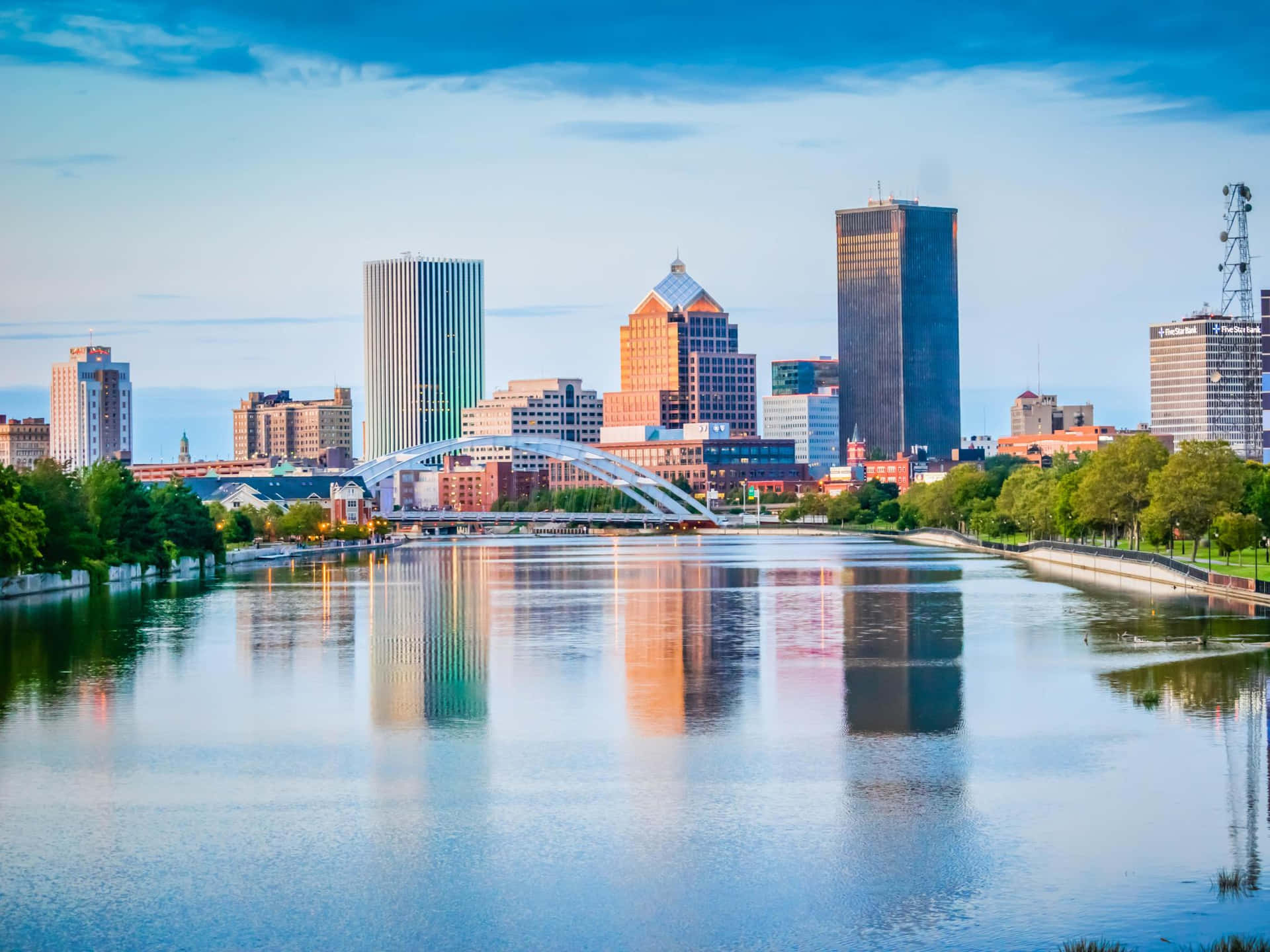
Downtown Rochester operates primarily on 14604 and 14614, capturing the Center City, the Four Corners legal district, and high-rise commercial blocks near the Genesee River. If you look at cultural hubs like the East End, home to the Eastman School of Music, you are in 14607, an area known for historic brick architecture, local theaters, and dense nightlife.
As you circle outward from downtown, the 146xx codes define historic residential neighborhoods:
- 14620: Covers South Wedge, Highland Park, and parts of the Swillburg area, offering a mix of early 20th-century homes, coffee shops, and walkability.
- 14611 and 14619: Encompass the historic 19th Ward and Corn Hill on the southwestern side of the river, featuring grand Victorian properties and active community revitalization.
- 14610: Spans the Park Avenue and Neighborhood of the Arts (NOTA) districts, heavily favored for apartments, boutique shopping, and tree-lined streets.
Inner-ring suburbs also share this prefix. 14617 and 14622 cover Irondequoit, stretching up to the shores of Lake Ontario. 14612 and 14616 handle Greece, running along the western lakeside. This urban-suburban overlap means 146xx codes represent the most densely populated and commercially active segments of the county.
Inner Suburbs and Greater Towns: The 145xx Range
Once you cross past the immediate city boundaries, postal geography transitions into the 145xx series. This prefix captures larger suburban towns, established commercial corridors, and historic hamlets throughout Monroe County and parts of Wayne and Ontario counties.
Towns like Pittsford (14534), Webster (14580), and Fairport (14450, bridging into 144xx) sit prominently in this ring. These areas are characterized by major school districts, planned residential developments, and historic village centers. For instance, Pittsford centers tightly around the historic Erie Canal path, blending upscale suburban housing with preserved 19th-century storefronts.
Other notable 145xx zones include:
- 14526: Penfield, known for sprawling residential neighborhoods and expansive park systems.
- 14559: Spencerport, offering a classic canal-village atmosphere west of the city.
- 14546: Scottsville, sitting further south along the Oatka Creek and Genesee River valley.
Housing stock in the 145xx range shifts away from multi-family urban rentals and historic city Victorians toward split-levels, colonials built in the late 20th century, and newer construction developments. Property taxes and school district boundaries heavily influence real estate demand in these zip codes, making them a primary focus for families relocating to the area.
Rural Outposts and Outer Rings: Understanding 144xx Areas
The 144xx prefix represents the outer tier of the greater Rochester metropolitan sphere. These postal codes reach deep into agricultural land, small farm towns, and rural communities that buffer Monroe County from the wider Finger Lakes region.
Codes such as 14468 (Parma/Hilton), 14414 (Brockport), and 14425 (Victor) define landscapes where suburban subdivisions give way to open fields, orchards, and historic town squares. Brockport, for example, combines a historic canal-town downtown with the presence of The College at Brockport, creating a unique hybrid of rural quiet and academic energy.
Living in a 144xx zone usually means larger lot sizes, lower municipal density, and a quieter pace of life, though commutes into downtown Rochester can stretch from 25 to 45 minutes depending on highway access like I-90 or Route 104. Local infrastructure relies less on municipal transit and more on personal vehicles, with townships managing distinct rural zoning rules.
Practical Impacts on Real Estate and Logistics
Understanding how these postal ranges are structured is more than a geographic exercise; it directly affects daily life, property valuation, and administrative tasks.
Insurance rates, utility providers, and municipal services shift depending on whether a property falls within a city 146xx code or a suburban 145xx/144xx code. For instance, property tax structures inside the City of Rochester differ significantly from outer towns like Brighton or Henrietta. School district lines also do not always match zip code boundaries precisely, which is a common point of confusion for home buyers. Always verify the specific school district rather than assuming it based solely on the mailing address.
Logistics and delivery services use these numeric tiers to route freight and mail through the main regional distribution hub. Packages destined for 146xx codes move through urban sorting channels, while 145xx and 144xx items branch out to suburban carrier stations early in the morning.
Frequently Asked Questions
Do Rochester zip codes start with specific numbers based on geography?
Yes. The entire region uses the 14x prefix pool for Upstate New York. Specifically, codes beginning with 146 are exclusive to Rochester and its immediate inner-ring suburbs, while 145 and 144 cover outer towns and rural counties.
Why do some Rochester addresses share a city name but have different zip codes?
Rochester spans a wide geographic area divided into distinct neighborhoods. Postal routes are mapped based on mail carrier efficiency, population density, and natural barriers like the Genesee River, resulting in dozens of unique codes within the city limits.
Are all 146xx zip codes considered urban?
Most are urban or inner-suburban, but boundaries can blur. Certain codes stretch from city neighborhoods into suburban town borders, combining dense commercial strips with residential streets.
How do I check which school district a specific zip code belongs to?
Never rely on a zip code alone to determine school districts. Many zip codes overlap municipal and school district lines. Check the specific property tax parcel map or consult the New York State Education Department directory to confirm local district boundaries.


