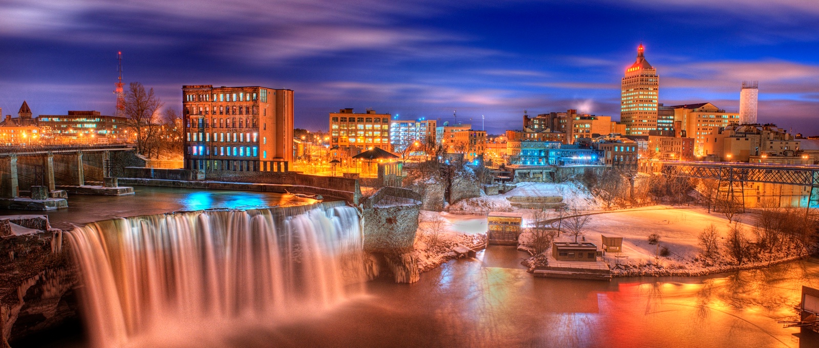
Rochester New York zip codes establish the foundational grid for Monroe County postal delivery, economic zoning, and neighborhood identification. The city and its surrounding suburbs operate primarily within the 146xx postal series, managed by the United States Postal Service. These five-digit numerical identifiers shape municipal logistics, real estate boundaries, and regional demographics across Upstate New York.
Understanding this postal architecture requires looking past basic mail delivery. Each code sequence separates urban neighborhoods from surrounding towns, reflecting historical manufacturing booms, mid-century suburban expansion, and contemporary municipal boundaries. Whether you're researching property taxes, setting up utility accounts, or analyzing local demographics, knowing how these zones operate clarifies the layout of the region.
The Anatomy of the 146xx Postal Prefix
The United States Postal Service structures every national zip code using a hierarchical sorting system. For Rochester, the leading digit starts with 1, designating the New York state postal zone. The second and third digits (46) form the Sectional Center Facility (SCF) code for the Rochester metropolitan area, routing mail from regional distribution hubs to local post offices.
The final two digits pinpoint individual delivery stations, carrier routes, or specific suburban towns. Urban delivery zones generally feature lower numerical suffixes, while outer ring suburbs span higher numbers within the range.
- Downtown Core: Codes such as 14604 and 14614 cover the central business district, civic centers, and immediate commercial corridors along the Genesee River.
- Inner Ring Neighborhoods: Codes like 14607 and 14609 serve historic residential districts, including the Neighborhood of the Arts and East Avenue corridors.
- Suburban Towns: Surrounding municipalities operate on dedicated codes, such as 14618 for Brighton, 14623 for Henrietta, and 14626 for Greece.
Historical Evolution of Rochester Postal Zones
Before the implementation of the modern five-digit zip code system in 1963, Rochester relied on postal zone numbers within larger city limits. As the "Flour City" transitioned into a global manufacturing giant anchored by Eastman Kodak, Bausch + Lomb, and Xerox, mail volume surged. The postal service needed a standardized method to handle heavy industrial correspondence and residential growth.
The establishment of the 146xx series mirrored the physical outward migration of residents from the city center. Mid-century housing developments in towns like Irondequoit and Gates prompted the creation of new postal routes. Consequently, the zip code map became a physical timeline of Monroe County's suburbanization, capturing decades of urban planning and demographic shifts.
Socioeconomic Patterns Across Local Postal Zones
Demographic researchers and urban planners frequently analyze data by zip code because these boundaries often reflect distinct economic realities. In Monroe County, stark contrasts exist between urban core districts and affluent southern or eastern suburbs.
Median household incomes, property values, and educational attainment levels vary significantly across municipal lines. For instance, suburban zip codes like Pittsford (sharing regional proximity via 14534) or Brighton (14618) typically report higher average property valuations and lower poverty rates compared to certain urban zones like 14608 or 14605. These numerical boundaries highlight historical patterns of economic investment, redlining, and infrastructural development across Upstate New York.
For official demographic datasets, you can consult the U.S. Census Bureau to review population distributions and economic indicators across Monroe County tracts.
Logistics, Business, and Modern Postal Operations
While digital communication dominates modern commerce, physical mail and package delivery remain tied strictly to accurate zip code entry. Logistics providers like the United States Postal Service rely on automated optical character recognition machines to sort millions of parcels daily through regional facilities like the Rochester Processing and Distribution Center.
Local businesses utilize postal data for targeted marketing, freight calculation, and service radius planning. E-commerce fulfillment centers program exact boundary lines to determine shipping speeds and local delivery surcharges. Entering an incorrect final digit often leads to misrouted packages and delayed freight across Western New York.
Frequently Asked Questions
How many zip codes are located within the City of Rochester?
The city proper and its immediate surrounding towns utilize more than 20 distinct active codes within the 146xx prefix series, alongside overlapping codes from neighboring towns in Monroe County.
Do Rochester zip codes ever change?
The USPS rarely introduces entirely new codes unless rapid residential or commercial development creates a volume threshold that overloads existing carrier routes. Minor boundary adjustments happen periodically to balance carrier workloads.
How can I verify the correct zip code for a specific Rochester address?
You can use the official Look Up a Zip Code tool provided directly by the USPS Lookup Service to verify exact street-level delivery codes.
Why do some Monroe County towns use different prefixes?
While Rochester proper uses 146xx, surrounding towns in Monroe County may use 144xx or 145xx prefixes depending on which regional post office facility manages their primary distribution routes.



