Redwood City relies on five primary postal codes spanning from the bayside marshes up to the wooded Santa Cruz mountain foothills. If you're looking up mailing routes, moving to the area, or trying to understand local municipal boundaries, knowing how these postal districts map out matters. The city sits entirely within San Mateo County and uses the 650 area code for telephone communications.
Understanding these geographic boundaries saves time when filling out paperwork, estimating shipping logistics, or researching neighborhoods. Every zone carries a distinct character, from high-density waterfront complexes to winding hillside residential streets.
Redwood City CA Zip Codes List and Overview
The postal system divides Redwood City into distinct zones. Most addresses fall under standard delivery routes, though one code is reserved strictly for post office boxes.
- 94061: Covers central Redwood City, including neighborhoods around Roosevelt Avenue,iedmont, and portions stretching toward the border of San Carlos.
- 94062: Encompasses the western and southwestern hillside neighborhoods, reaching deep into the Emerald Lake Hills and up toward the wooded ridges.
- 94063: Covers the northeastern section toward the bay, including the vibrant Downtown core, neighborhoods east of El Camino Real, and industrial commercial sectors near the port.
- 94064: A dedicated post office box-only code located centrally for municipal and private P.O. box routing.
- 94065: Handles the Redwood Shores peninsula and southeastern bayfront areas, featuring modern planned communities, lagoons, and major corporate tech campuses.
For official postal mapping and delivery standards, you can check the USPS Location Finder to verify specific street routing.
Geographic Boundaries and Neighborhood Layouts
Geography shapes how postal routes are drawn across the Peninsula. Redwood City stretches lengthwise from the San Francisco Bay waters on the east to the steep mountain ridges on the west.
The bayside sector, anchored by 94065 and parts of 94063, features flat terrain dominated by office parks, marinas, and planned residential lagoons. Crossing over U.S. Route 101 heading inland brings you into the commercial core and historic downtown neighborhoods. Further west, El Camino Real acts as a major north-south commercial spine. Beyond that artery, the terrain tilts upward.
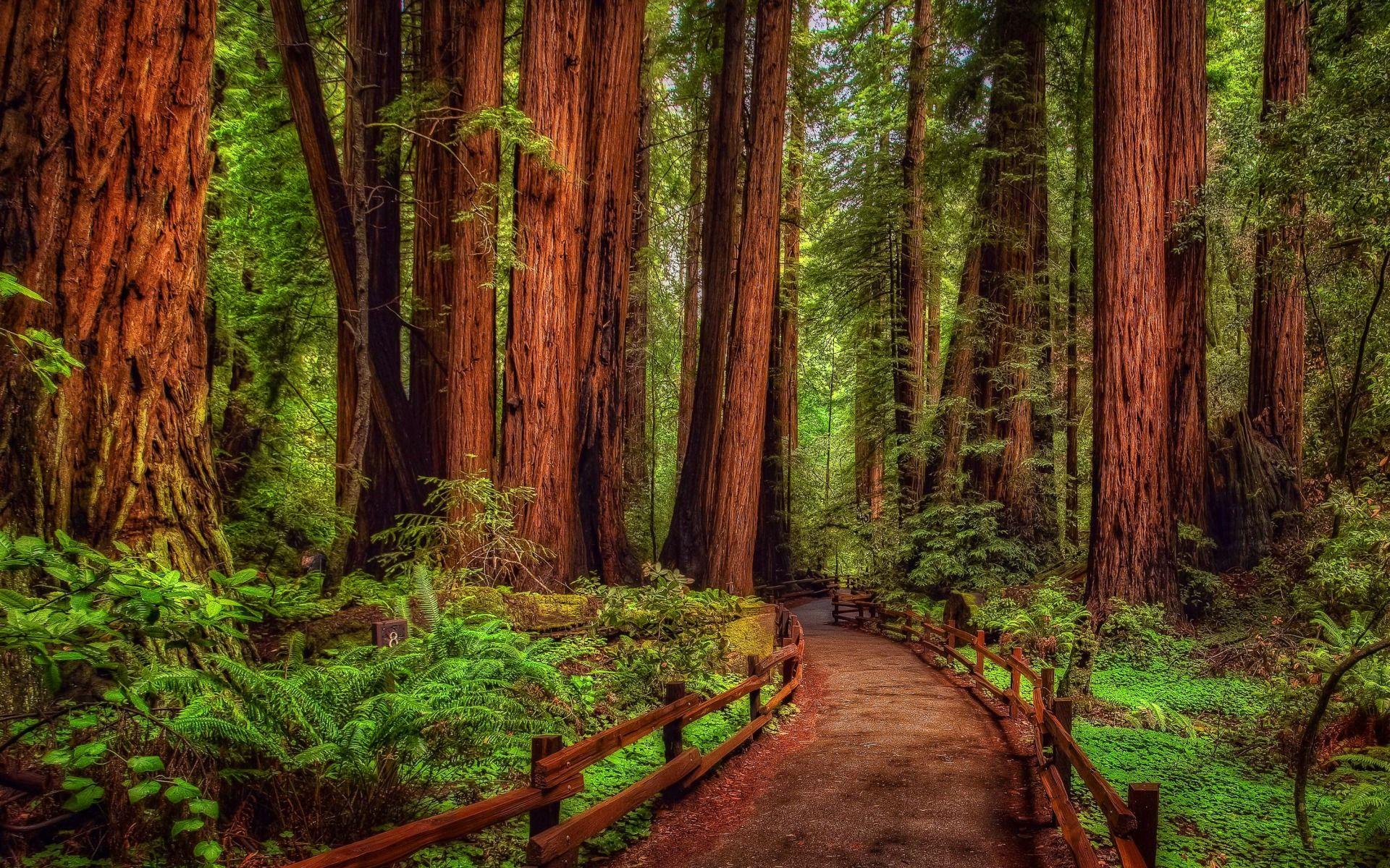
The 94062 zone captures this dramatic shift. Streets narrow, twist, and climb into the hillsides where properties nestle among redwoods and oaks. Meanwhile, the central 94061 zone balances grid-style residential blocks with active community hubs, public schools, and neighborhood parks.
Telephone Area Codes and Regional Dialing
Telecommunications across the region are unified under a single primary telephone prefix.
- 650 Area Code: This is the dominant telephone prefix for Redwood City and the surrounding mid-Peninsula region, stretching from portions of San Francisco's southern suburbs down to North Palo Alto.
When the 650 prefix was created in 1997 by splitting off from the older 415 prefix, it streamlined local communication for the booming tech corridor. Because of high phone number utilization, standard ten-digit dialing (area code plus the seven-digit phone number) is required for all local calls within this region. For broader regulatory details on telephone numbering plans, consult the North American Numbering Plan Administrator.
Common Postal and Geographic Mistakes to Avoid
Navigating Peninsula addresses can trip up newcomers and automated shipping systems alike. Keep these common pitfalls in mind:
- Mixing up neighboring cities: Redwood City shares tight borders with San Carlos to the north, Menlo Park to the south, and Atherton. Portions of adjacent areas sometimes cross municipal service lines, leading mail carriers to misroute packages if the city name doesn't match the exact zip code database.
- Confusing physical addresses with P.O. Boxes: Don't use 94064 for street-delivered shipments. That code belongs exclusively to post office box lockers.
- Assuming uniform terrain: Delivery trucks navigating the tight, winding roads of 94062 face vastly different transit times compared to the flat grid layouts of 94063.
Frequently Asked Questions
What is the primary area code for Redwood City?
The city uses the 650 area code for landlines and mobile devices.
How many zip codes are entirely within Redwood City?
There are five official postal codes assigned to the municipality, which includes four standard delivery zones and one P.O. box-only code.
Do Redwood Shores and Downtown Redwood City share the same zip code?
No. Downtown primarily utilizes 94063, while the Redwood Shores peninsula uses 94065.
Which zip code covers the Redwood City hills?
The 94062 postal code primarily covers the western hillside and Emerald Lake Hills residential neighborhoods.



