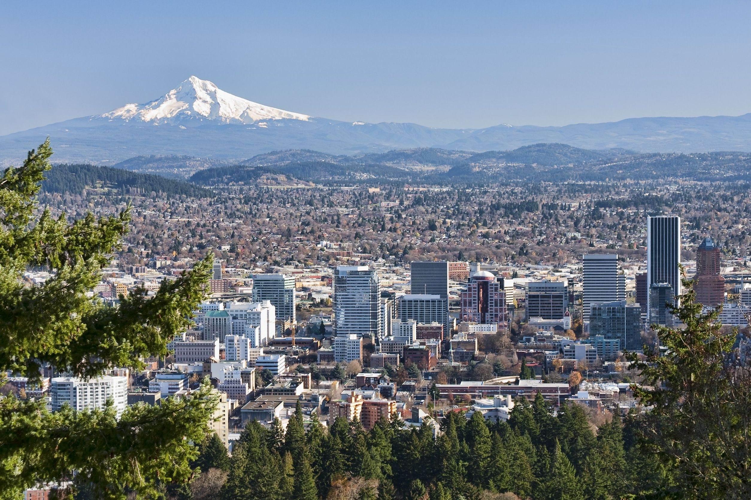
Navigating Portland weather requires understanding local microclimates, seasonal shifts, and the specific tools meteorologists use to track Pacific Northwest conditions. If you're trying to make sense of daily forecasts, you need more than a generic weather app icon; you need localized radar data and reliable regional reporting from sources like KGW News.
Accurate localized predictions in the Willamette Valley depend heavily on tracking how marine air interacts with the Coast Range and the Cascade Mountains. This guide breaks down how to read regional forecasts effectively, interpret live radar, and anticipate weather shifts across Portland neighborhoods.
Understanding Portland Microclimates
Portland isn't a monolith when it comes to meteorology. The city features distinct microclimates that cause weather variations between downtown, the West Hills, and outer East Portland.
- The West Hills: Elevated areas frequently experience cooler temperatures, higher precipitation, and occasional early-season snow or ice when lower elevations see plain rain.
- Downtown and the Central Waterfront: Urban heat island effects often keep city center temperatures slightly higher than surrounding suburban basins, particularly overnight.
- The Columbia Gorge Gap: East winds funneling through the Gorge can dramatically alter wind speeds, drop humidity, and bring severe cold snaps or windstorms that miss areas south of the city.
When local broadcasts report conditions, they pull data from the primary observation site at Portland International Airport (KPDX). Keep in mind that conditions at KPDX might differ significantly from your backyard if you live closer to the foothills.
How to Read Local Weather Radar
Relying on static icons leads to ruined weekend plans. Live radar tracking is essential for timing incoming Pacific frontal systems.
When you check a live radar feed, look for reflectivity gradients. Green usually indicates light rain, yellow signifies moderate rainfall, and red or purple points to heavy downpours or embedded thunderstorms.
- Check the velocity data: Alongside standard reflectivity, velocity maps show wind direction and speed relative to the radar station. This helps identify sudden wind shifts or gust fronts.
- Track storm motion vectors: Don't just look at where rain is right now. Observe the movement vector to see whether a cell is tracking north, south, or stalling over the metro area.
- Monitor freezing levels: Winter and early spring forecasts hinge on the snow level. Knowing whether the freezing level sits at 1,500 feet or 4,000 feet determines whether commutes over the West Hills or highway passes require extra caution.
Seasonal Weather Patterns in the Pacific Northwest
Portland weather follows distinct annual rhythms that dictate local planning, driving habits, and home maintenance.
The Rainy Season (October through May)
Persistent cloud cover and intermittent light-to-moderate rain dominate these months. Instead of torrential downpours, Portland typically experiences prolonged periods of mist and drizzle, known locally as liquid gray. Flash flooding is rare outside of blocked storm drains, but saturated soils frequently cause localized tree limb failures during windstorms.
The Dry Summer Transition (June through September)
Summers bring extended dry spells, high pressure ridges, and occasional heatwaves where temperatures exceed 90 degrees Fahrenheit. Local meteorologists pay close attention to relative humidity and wind patterns during these months because dry east winds elevate wildfire risks across the Pacific Northwest. For official alerts and safety guidance, check resources provided by the National Weather Service Portland.
Common Forecasting Mistakes to Avoid
Many people misinterpret short-term forecasts because they overlook critical meteorological context.
- Ignoring the precipitation probability: A 40 percent chance of rain doesn't mean it will rain 40 percent of the day. It means there is a 40 percent chance that measurable precipitation will occur at any given point in the forecast zone.
- Confusing weather with climate: A single warm autumn afternoon doesn't indicate a permanent shift in seasonal norms. Always check historical averages provided by the National Centers for Environmental Information to understand true baseline trends.
- Trusting out-of-state apps: Pre-installed phone weather apps often use generalized national algorithms that fail to account for Portland's unique topography, leading to inaccurate rain timing.
Frequently Asked Questions
Why do Portland forecasts often miss sudden rain showers?
Pacific frontal systems frequently break apart as they hit the Coast Range, creating scattered showers that are difficult for automated models to pinpoint. Local broadcast meteorologists analyze high-resolution regional radar to catch these gaps.
How do I check real-time air quality in Portland?
During summer wildfire season or winter inversion events, particulate matter matters more than temperature. Check regional air monitoring sites to track PM2.5 levels before heading outdoors.
Where can I find official weather closing and delay notifications?
When winter storms or heavy ice events impact the metro area, local news networks aggregate district-by-district school and business closures to help residents navigate morning commutes safely.
Why are West Hills temperatures consistently lower?
Elevation plays a direct role. For every thousand feet of elevation gain, ambient air temperatures drop noticeably, which often turns a cold rain downtown into slush or snow in higher neighborhoods.



