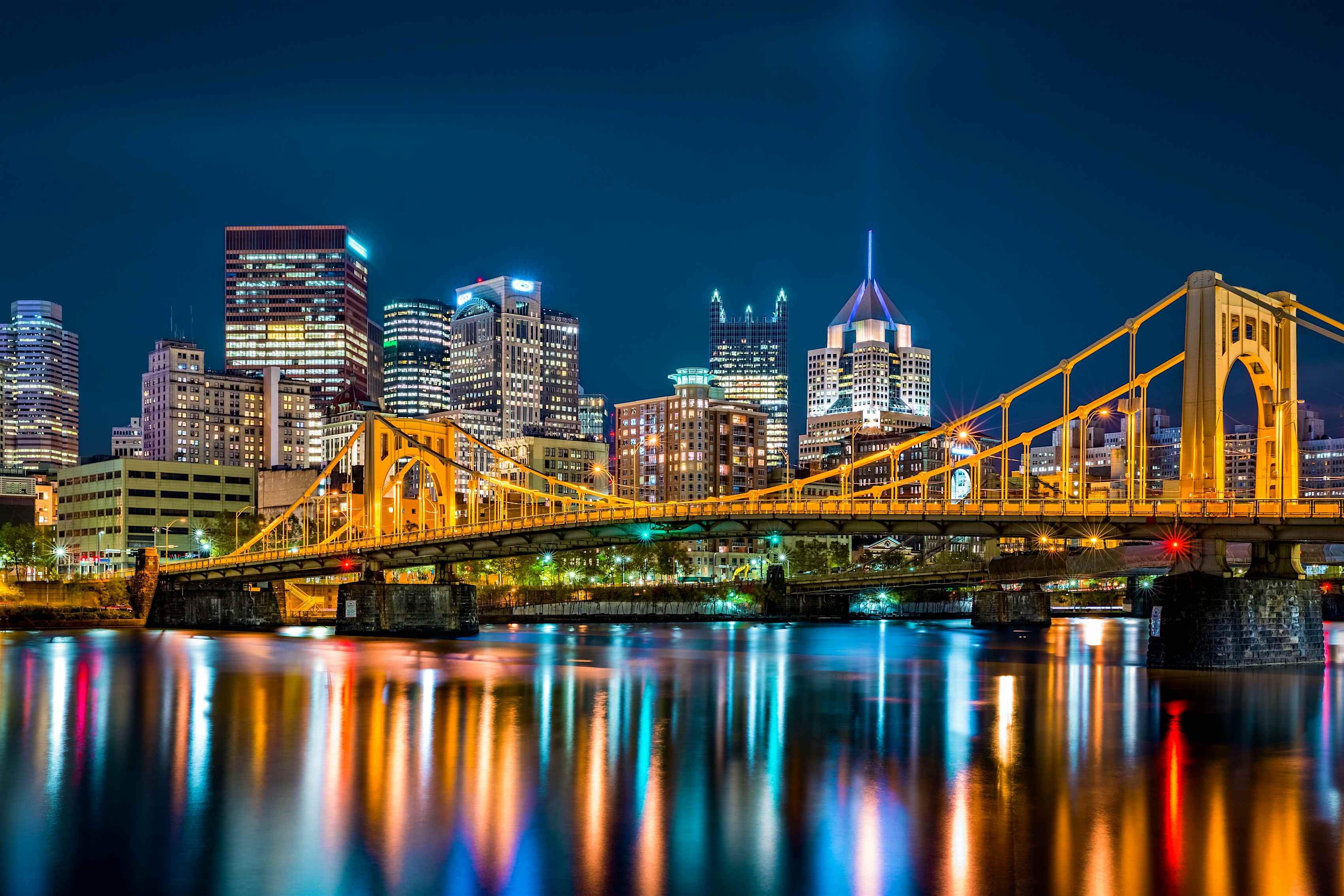
Understanding Pittsburgh's Distinct Layout
Pittsburgh sits at a dramatic geographic crossroads in western Pennsylvania. If you look at a map, you'll see why early settlers and industrialists locked onto this exact spot. Two powerful waterways, the Allegheny and the Monongahela rivers, crash together right at Point State Park to form the massive Ohio River. This precise point carved a natural basin out of the Appalachian foothills, creating a landscape defined by steep inclines, narrow valleys, and hundreds of bridges.
You won't find a standard grid system here. Instead, roads wind around sharp ridges, climb steep cliff sides, and cross rivers every few blocks. This layout dictated how the city grew, where the factories went, and why Pittsburgh earned its reputation as a rugged manufacturing powerhouse.
According to the U.S. Geological Survey, the region's topography is heavily shaped by plateau dissection, meaning centuries of water erosion carved deep valleys into flat rock layers. That natural engineering created the signature hills and waterfronts that still define the local identity today.
The Three Rivers and Their Industrial Legacy
Water shaped Pittsburgh's economy long before modern highways existed. The convergence of the three rivers made the city a natural shipping hub for coal, timber, and manufactured goods during the nineteenth and twentieth centuries.
The Allegheny and Monongahela Confluence
The Allegheny River flows down from the north, draining a massive rural and suburban watershed. The Monongahela River pushes up from the south, carrying rich mineral wealth from the mountains of West Virginia. Where they meet at Point State Park, they create the Golden Triangle—the historic downtown core of the city.
During the height of the steel boom, every inch of these riverbanks was lined with blast furnaces, rolling mills, and barge loading docks. Heavy barges packed with raw iron ore and coal moved up and down the channels daily. Today, commercial towboats still move cargo through the region, though the mills have largely been replaced by public parks, riverfront trails, and mixed-use developments like the South Side Works.
The Ohio River Outflow
Once the Allegheny and Monongahela merge, they become the Ohio River, which flows westward toward the Mississippi. This waterway opened up trade routes to the entire Midwest and the Gulf of Mexico. For early industrialists, this meant raw steel could leave Pittsburgh and reach almost any major market in the United States without touching a railroad car.
Navigating the City of Seven Hills
Pittsburgh is frequently nicknamed the city of seven hills, though local topographers will tell you the actual count is much higher. The urban area is built across a fractured landscape of steep ridges and deep ravines. Neighborhoods sit isolated on high plateaus or squeezed tightly into narrow river valleys.
Mount Washington and the Funiculars
Rising steeply above the downtown skyline, Mount Washington offers the most famous view in the region. In the nineteenth century, getting heavy freight and weary workers up these steep slopes was a major engineering hurdle. The solution was the funicular railway.
Today, two historic cable cars—the Duquesne Incline and the Monongahela Incline—still haul commuters and tourists up the cliff face. Standing at the top observation deck gives you a clear visual explanation of why this terrain is so unique: you can see the downtown skyscrapers huddled in the flat river basin while residential neighborhoods perch precariously on the surrounding bluffs.
How Topography Shaped Neighborhoods
Because traveling across hills was difficult before modern automobiles, Pittsburgh developed as a collection of distinct, self-contained villages. Neighborhoods like Bloomfield, Lawrenceville, and the South Side grew up around specific factories or coal mines. Workers could walk from their hillside homes straight down to the mill floor.
Even now, these neighborhoods retain a distinct village feel. You'll find sharp transitions between quiet residential streets and bustling commercial strips just a few blocks away, separated by steep wooded hillsides that are too steep to build on.
From Steel Mills to Tech Hubs
When the domestic steel industry collapsed in the late twentieth century, Pittsburgh faced a massive economic crisis. Tens of thousands of manufacturing jobs vanished, and vast tracts of riverfront land sat abandoned and contaminated.
Rather than fading away, the city leveraged its major academic institutions, particularly Carnegie Mellon University and the University of Pittsburgh, to reinvent itself. Old brownfield sites along the rivers were cleaned up and converted into robotics laboratories, software offices, and modern medical centers.
The National Park Service preserves elements of this transition at sites like the Carrie Furnace, where rusted industrial infrastructure stands right alongside modern bike paths and environmental restoration projects.
Common Mistakes Visitors Make
- Relying solely on walking: Because of the extreme elevation changes and winding river barriers, two points that look close on a flat map might require a massive detour or a bridge crossing.
- Ignoring public transit options: Driving through unfamiliar hillside neighborhoods with narrow, twisting streets can be stressful. Utilizing the subways, buses, and historic inclines makes getting around much easier.
- Skipping the river trails: Many travelers stick strictly to downtown, missing the extensive, multi-use paths that stretch for miles along all three riverbanks.
Frequently Asked Questions
Why does Pittsburgh have so many bridges?
Pittsburgh features over 400 bridges within city limits, earning it the nickname "The City of Bridges." The combination of two major rivers, several smaller tributaries, and deep valleys carved into steep hills means civil engineers had to construct massive spans just to connect adjacent neighborhoods.
Are there really only seven hills in Pittsburgh?
No. While the nickname "City of Seven Hills" is common, it borrows a classical trope from Rome. In reality, Pittsburgh's topography consists of dozens of steep hills, ridges, and valleys created by thousands of years of river erosion across the Allegheny Plateau.
How did the steel industry impact the local environment?
For over a century, heavy manufacturing and coal burning filled the air with thick soot and polluted the rivers. Since the collapse of heavy industry in the 1980s, strict environmental regulations and massive cleanup efforts have transformed the air quality and brought game fish back into the three rivers.
What is the best way to see the city's unique geography?
Ride the Duquesne Incline up to Mount Washington. The observation deck at the top provides an unobstructed, panoramic view of the downtown Golden Triangle, the convergence of the three rivers, and the surrounding rolling hills.


