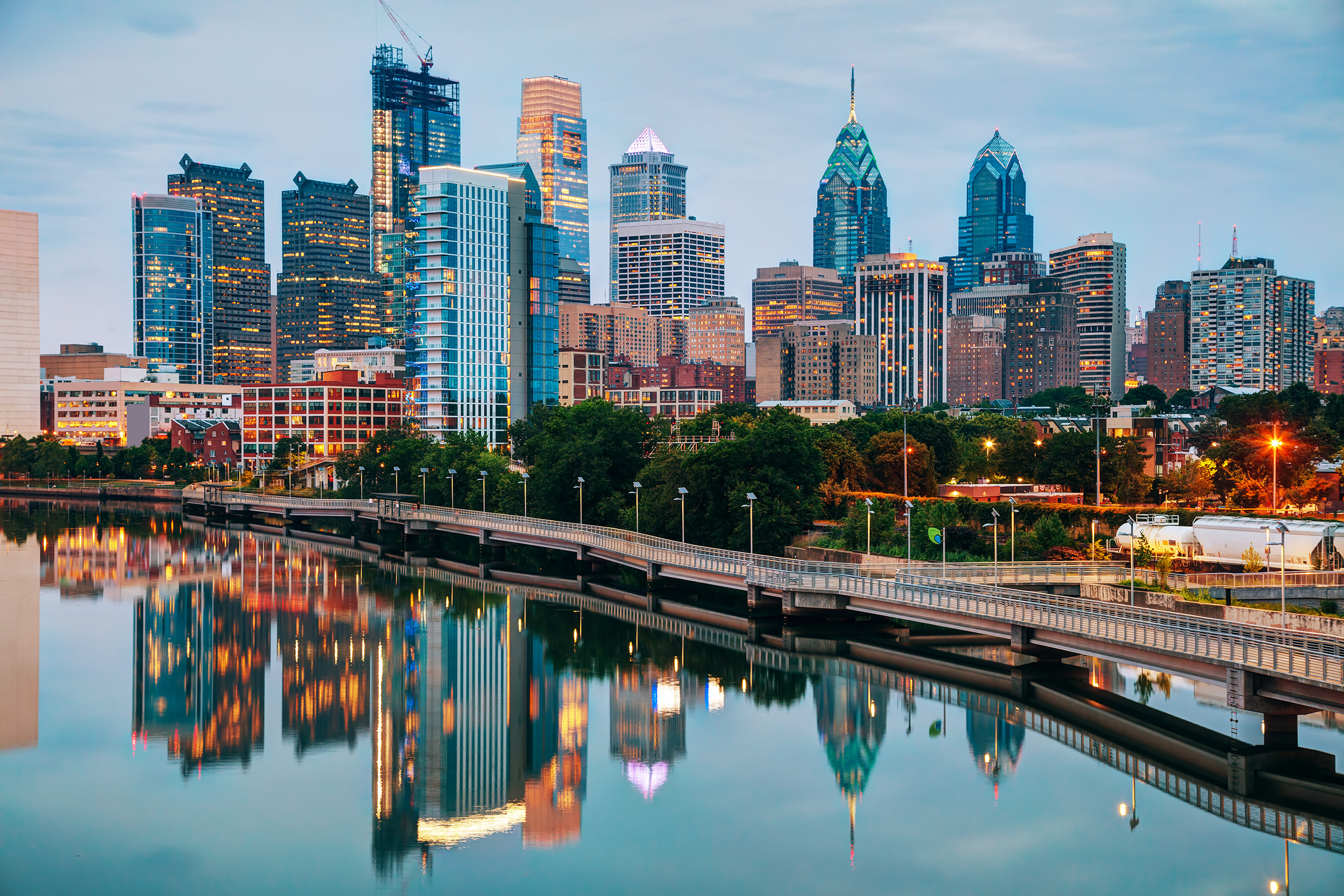
Philadelphia zip codes do much more than route mail through historic rowhomes and glass high-rises. Starting with the standard 191 prefix, these five-digit zones dictate everything from municipal tax burdens and public school catchments to real estate valuations and insurance premiums. If you are buying property, opening a storefront, or studying urban development in Pennsylvania's largest city, understanding how the 191xx series operates is non-negotiable.
The postal network in Philadelphia reflects centuries of annexation, industrial shifts, and neighborhood evolution. Unlike planned grid cities where postal boundaries match neat municipal partitions, Philadelphia's sorting districts weave through historic wards, natural topography, and modern gentrification zones. Let's break down how these numbers shape the city's economic and daily reality.
The Anatomy of the 191xx Postal System
The United States Postal Service introduced the Zone Improvement Plan in 1963 to manage surging mail volumes. In Philadelphia, the entire city falls under the 191 regional prefix, shared with surrounding areas in southeastern Pennsylvania. The remaining three digits tell a precise geographic story.
The second and third digits isolate a specific sectional center facility or major postal processing hub. For instance, mail destined for Center City passes through different sorting streams than packages heading to the Far Northeast or West Philadelphia. The final two digits pin down the delivery station, carrier route cluster, or dense commercial building.
When you look at a map of Philadelphia postal zones, you notice immediate anomalies. Some zip codes cover massive geographic areas with diverse populations, while others encompass just a few blocks of dense commercial real estate. This uneven distribution creates stark contrasts in how municipal services and commercial deliveries operate across districts.
Center City Zones: The 19102, 19103, and 19106 Economic Engine
The commercial heart of the city beats within a tight cluster of zip codes that command the highest real estate prices and commercial rents in the region.
- 19102: Centered around the Avenue of the Arts and South Broad Street, this zone houses major financial institutions, government offices, and cultural landmarks like the Kimmel Center. It represents high-density commercial activity mixed with luxury high-rise residential living.
- 19103: Encompassing Rittenhouse Square and the western portion of Center City, this code commands some of the highest residential square-foot prices in Pennsylvania.
- 19106: Covering Old City, Society Hill, and parts of Penn's Landing, this historic sector blends colonial cobblestone streets with modern tech startups, art galleries, and waterfront redevelopment projects.
Property transactions in these zip codes involve stringent municipal assessments, historic preservation guidelines managed by the Philadelphia Historical Commission, and distinct commercial tax structures. Businesses operating here pay commercial activity taxes that differ from neighborhood commercial corridors, making precise zip code identification critical for corporate tax compliance.
Neighborhood Identity and Real Estate Dynamics in 191xx
Outside Center City, zip codes serve as cultural shorthand for distinct communities. Residents often identify more with their neighborhood name than their postal code, but the code itself wields quiet power over daily life.
North and Northwest Philadelphia (19120, 19138, 19144)
Spanning from Logan and Olney down through Germantown and Mount Airy, these codes showcase the city's architectural diversity. You will find historic Victorian homes, mid-century rowhouses, and active commercial corridors along commercial veins like Chelten Avenue. Real estate markets here experience steady community-led revitalization, with local organizations working to combat vacant property blight and foster homeownership.
South Philadelphia (19145, 19148)
South Philly maintains fiercely guarded neighborhood loyalties tied closely to its postal boundaries. From East Passyunk's restaurant boom to the checkerboard streets near Marconi Plaza, these zip codes reflect multigenerational households living alongside an influx of young professionals priced out of Center City.
West Philadelphia (19104, 19139, 19143)
Anchored by institutions like the University of Pennsylvania and Drexel University in 19104, West Philadelphia is an economic powerhouse driven by higher education and healthcare systems. Moving west past 48th Street into 19143 reveals vibrant Victorian-era housing stocks, active community gardens, and diverse commercial hubs along Baltimore Avenue.
How Zip Codes Influence Business, Insurance, and Risk
If you run a business or own a home in Philadelphia, your zip code directly impacts your bottom line in several concrete ways.
Insurance underwriters use zip code boundaries to calculate risk factors such as historic auto break-in rates, storm water runoff vulnerability, and property damage claims. Two properties separated by a single street boundary can face noticeably different home insurance quotes simply because they fall into different postal zones.
Logistics and delivery operations also rely on strict routing within the 191xx grid. E-commerce fulfillment centers map their final-mile delivery trucks directly to postal carrier routes. Knowing your exact ZIP+4 code can mean the difference between next-day delivery and a three-day shipping delay for heavy goods navigating tight urban rowhome streets.
Furthermore, municipal agencies use census blocks aligned with zip codes to distribute grant funding, park maintenance budgets, and street paving schedules. Advocacy groups frequently analyze zip code data to lobby City Hall for equitable infrastructure investments, tracking where potholes linger and where tree canopy coverage falls short.
Common Missteps When Using Philadelphia Postal Data
Relying blindly on zip codes without understanding their limitations leads to costly errors for newcomers and businesses alike.
- Assuming uniform demographics: A single zip code can encompass millions of dollars in luxury condos on one block and subsidized housing or industrial yards on the next. Never base market research solely on a five-digit code.
- Ignoring municipal boundary overlaps: Certain Philadelphia zip codes spill across county lines or abut townships in Delaware, Montgomery, or Bucks counties. Always verify the precise municipality to avoid paying local taxes to the wrong jurisdiction.
- Neglecting ZIP+4 specificity: For official legal documents, tax filings, and corporate registrations, relying on the five-digit code alone can trigger processing delays with the United States Postal Service.
Frequently Asked Questions
Do Philadelphia zip codes match voting wards?
No. Philadelphia zip codes and political voting wards are drawn for entirely different purposes. Wards dictate political representation and committee structures, while postal codes exist strictly for mail sorting and delivery. They frequently overlap and intersect without alignment.
Why do some Philadelphia addresses share a zip code with a suburb?
Certain older postal routes were established before modern municipal borders were finalized. A small number of properties near the city limits share postal processing stations with adjacent suburban townships, though municipal tax obligations remain tied strictly to city lines.
How can I find the exact ZIP+4 code for a Philadelphia property?
You can look up any exact delivery point using the official Lookup tool on the United States Postal Service website by entering the complete street address, city, and state.
Are Philadelphia zip codes changing as new developments open?
While the core five-digit numbers rarely change, the USPS periodically introduces new ZIP+4 designations or modifies carrier routes to accommodate large-scale residential and commercial developments, particularly in rapidly growing areas like Northern Liberties, Fishtown, and the Navy Yard.


