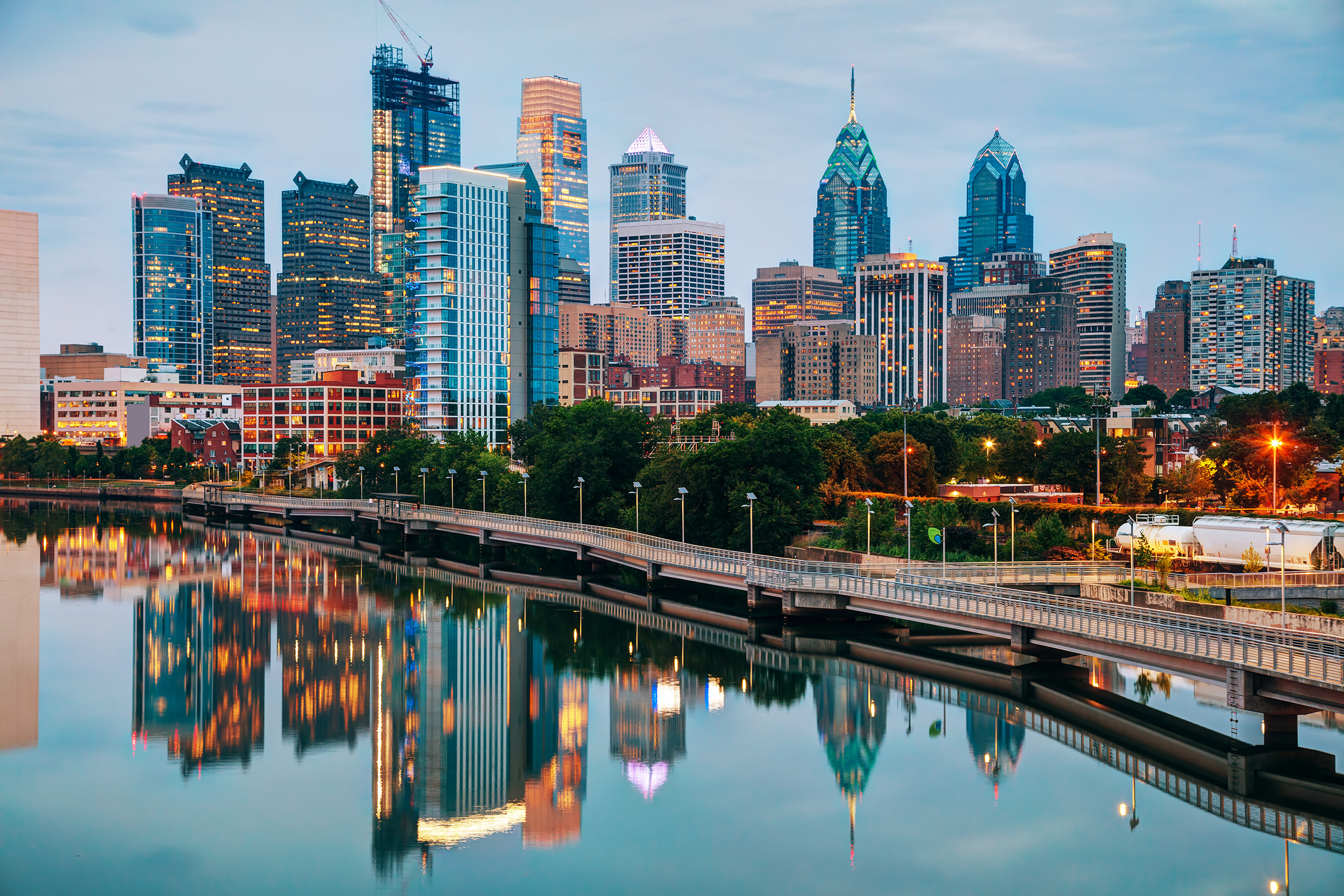
Navigating Philadelphia means decoding a massive postal grid that reflects centuries of urban expansion, demographic shifts, and municipal growth. When you look at a map of Philadelphia PA zip codes, you aren't just looking at random numbers assigned by the USPS. You are looking at a historical blueprint of America's fifth-largest city, broken down into distinct sections that shape everything from real estate values to emergency response routes.
Understanding how these postal zones function helps residents, businesses, and visitors make sense of a sprawling metropolis covering roughly 135 square miles. From the historic cobblestone streets of the waterfront to the dense residential rows of Northeast Philly, the local numbering system tells a fascinating story of urban design.
The Anatomy of the Philadelphia Postal Grid
Postal codes in Philadelphia all begin with the prefix 191, a designation shared across Philadelphia County. The remaining two digits pinpoint specific delivery zones, post office stations, and historic neighborhood boundaries. Unlike cities with simple grid layouts or concentric circles, Philadelphia's postal divisions grew organically around transit lines, industrial hubs, and natural barriers like the Schuylkill and Delaware rivers.
The system generally radiates outward from the historical core. Center City anchors the 19102, 19103, 19106, and 19107 zones, representing the earliest heavily populated commercial and residential blocks. As you move away from City Hall, the numbers shift outward toward the North, South, West, and Northeast quadrants.
Center City: The Historic and Financial Core
Center City holds the densest collection of commercial high-rises, historic monuments, and cultural institutions in the region.
- 19102: Covers the central business district, including City Hall, LOVE Park, and the western stretch of the Avenue of the Arts.
- 19103: Encompasses the prestigious Rittenhouse Square neighborhood, known for high-end residential towers, luxury retail, and green spaces.
- 19106: Spans Old City and Society Hill, featuring Independence Hall, the Liberty Bell, and some of the oldest residential architecture in the United States.
- 19107: Captures Chinatown, the Fashion District, and bustling commercial corridors packed with restaurants and medical centers.
These downtown zones share high pedestrian traffic, multi-story rowhome configurations, and strict zoning laws designed to preserve historic facades while accommodating modern urban density.
West Philadelphia and University City
Cross the Schuylkill River, and the urban landscape shifts dramatically into academic and medical hubs.
- 19104: Home to major anchor institutions including the University of Pennsylvania and Drexel University, this zone defines University City. It combines high-tech research labs with dense student housing and historic Victorian properties.
- 19131: Reaches further west into Wynnefield, Fairmount Park's western sections, and Bala Cynwyd border regions, offering a more suburban residential feel within city limits.
This sector illustrates how a single postal code can heavily influence local economics, driving constant demand for rental housing, student amenities, and rapid transit access via SEPTA regional rail and trolley lines.
North and Northeast Philadelphia: Industrial Roots to Modern Suburbs
North Philadelphia and the vast expanse of Northeast Philly represent the city's largest geographic sectors, characterized by immense diversity in housing stock and population density.
- 19122 and 19125: Cover gentrifying industrial areas like Fishtown and Northern Liberties. Old factories and textile mills here have transformed into craft breweries, art galleries, and modern loft apartments.
- 19114, 19115, and 19116: Deep in Northeast Philadelphia, these zones resemble traditional suburban neighborhoods with single-family detached homes, multi-car driveways, and strip malls, sitting far removed from the urban density of South or West Philly.
According to data compiled by the U.S. Census Bureau, population distribution across these outlying zones has shifted steadily as young professionals seek larger living spaces without leaving municipal tax bounds.
Common Mistakes When Using Philadelphia ZIP Codes
Mailing errors and logistical delays often happen because people confuse municipal neighborhood names with official postal designations. Here are a few pitfalls to avoid:
- Assuming neighborhood equals code: Many popular neighborhood names (like Graduate Hospital or Bella Vista) span multiple postal routes or share boundaries with adjacent zones. Always verify the five-digit code for official mail.
- Mixing up PO Box zones: Certain commercial hubs and federal facilities maintain dedicated PO Box codes (such as 19105) that cannot accept standard street-address deliveries.
- Overlooking four-digit extensions: While standard five-digit codes work for everyday mail, adding the four-digit ZIP+4 extension speeds up sorting through automated distribution centers.
Frequently Asked Questions
How many ZIP codes are active in Philadelphia?
Philadelphia contains roughly 50 distinct active ZIP codes, varying based on commercial drop boxes, specialized facility assignments, and boundary adjustments made by postal authorities.
What is the oldest ZIP code area in the city?
The areas covered by 19106 and 19102 encompass the historic founding footprint of the city, where Benjamin Franklin and other founding figures walked.
Why do some Philadelphia ZIP codes cross neighborhood boundaries?
Postal routes are engineered for mail carrier route efficiency and vehicle logistics rather than strict neighborhood political or cultural boundaries, meaning a single code might service parts of two distinct communities.
How do ZIP codes affect Philadelphia property taxes?
While the City of Philadelphia assesses property taxes citywide through the Office of Property Assessment, specific postal zones often correlate heavily with localized market demand, school catchment boundaries, and median home values.



