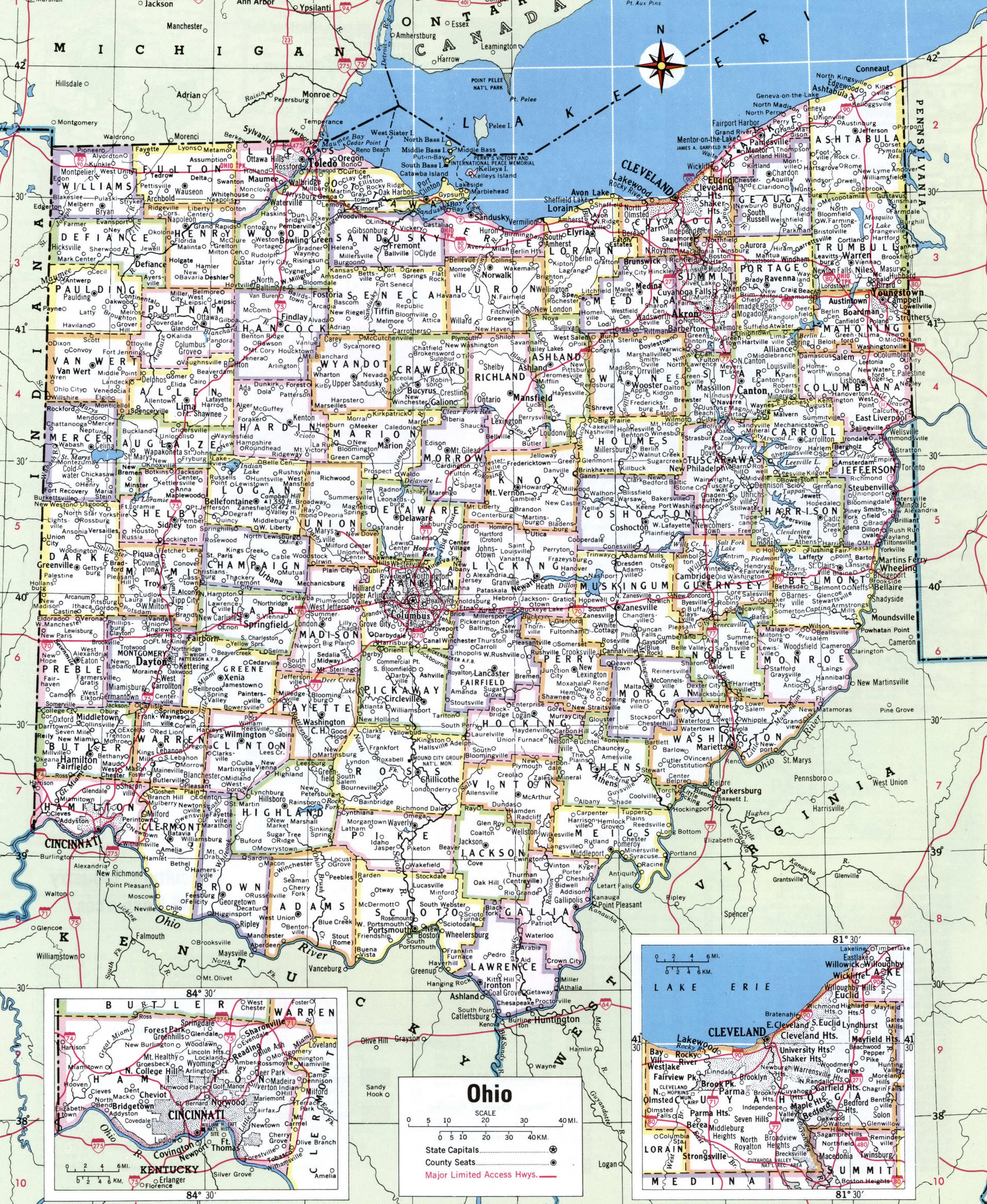
Finding free public hunting access in Ohio doesn't have to mean scrolling through confusing state agency PDFs or getting lost on unmarked property lines. Ohio offers more than 750,000 acres of public hunting land, spanning state wildlife areas, state forests, national forests, and private lands enrolled in public access programs.
If you want to skip the guesswork, you need to know how to navigate official interactive mapping tools, understand property boundaries, and secure specialized permits before stepping into the field. This guide breaks down where to find public land, how to use digital maps effectively, and what regulations keep you legal.
Types of Public Hunting Land in Ohio
Ohio features diverse terrain, from the rugged, forested hills of the Appalachian plateau in the southeast to the flat agricultural tracts and wetlands of the west and north. Public access is managed across several distinct agency categories.
State Wildlife Areas
Managed directly by the Ohio Department of Natural Resources (ODNR) Division of Wildlife, state wildlife areas are purchased and maintained primarily for wildlife management and public recreation. These properties often feature dedicated gravel parking lots, clear boundary signs, and varied habitats ranging from managed wetlands to hardwood woodlots. They represent the backbone of free public hunting in the state. If you want more about the background here, Associated Press provides an excellent breakdown.
State and National Forests
Ohio contains extensive state forest acreage—such as Shawnee, Zaleski, and Tar Hollow—along with the massive Wayne National Forest in southeastern Ohio. While state wildlife areas prioritize hunting and trapping, state and national forests operate under a multiple-use mandate. You'll share these spaces with hikers, campers, and foragers, but they offer vast expanses of contiguous timber where whitetails and wild turkeys can roam free from heavy hunting pressure.
Private Lands with Public Access
Programs like the Ohio Landowner/Hunter Access Partnership (OLHAP) open private agricultural and wooded tracts to public hunters. These properties require free daily permits, which help manage hunter density and protect landowner relationships. Similarly, utility-owned properties like the American Electric Power (AEP) Recreation Land in southeastern Ohio provide hundreds of thousands of acres of reclaimed surface-mining ground for public outdoor recreation.
Essential Mapping Tools for Ohio Hunters
Relying solely on paper maps will leave you at a disadvantage. Modern digital mapping tools let you overlay property boundaries, aerial imagery, and topography right on your smartphone.
ODNR Interactive Public Hunting Map
The primary resource for scouting is the official ODNR Interactive Public Hunting Map. This GIS tool lets you view statewide wildlife areas, state forests, and nature preserves. You can toggle layers to see parking areas, boat ramps, shooting ranges, and restricted safety zones.
Third-Party Boundary Mapping Apps
While state maps show you where public land exists, specialized mapping applications like OnX Hunt or HuntStand display precise private-to-public property lines in real time using GPS. This prevents accidental trespassing, which carries heavy fines and potential loss of hunting privileges. Always cross-reference third-party boundaries with official state data layers, as private land parcels occasionally change ownership.
How to Access Specialized Public Programs
Not all public land in Ohio is open via an open-door policy. Some of the best-managed properties require navigating structured permit systems.
OLHAP Daily Permits
To hunt OLHAP properties, you must first obtain an annual free endorsement through the Ohio Wildlife Licensing System. Once you have your endorsement, you must log onto the OLHAP property map each day you plan to hunt and reserve a daily permit. Permits are issued on a first-come, first-served basis to cap the number of hunters on a single tract.
Controlled Hunts
ODNR holds annual lotteries for controlled deer, waterfowl, dove, and pheasant hunts on select public properties. Applying for these hunts requires submitting an application fee through your online wildlife account during the application window, which typically closes in late July. Winning a controlled hunt tag gives you access to premier properties with heavily restricted hunter numbers.
Common Mistakes to Avoid
- Ignoring Safety Zones: State wildlife areas and parks feature strict safety zones around buildings, campsites, and active public use areas where discharging a firearm or bow is strictly illegal. Check boundary signs carefully.
- Failing to Download Offline Maps: Southeastern Ohio features notoriously spotty cellular coverage. If you don't save your mapping data offline before heading into the hills, you may lose access to your GPS boundaries when you need them most.
- Leaving Tree Stands Overnight: On most state wildlife areas and state forests, leaving permanent tree stands, screw-in steps, or ground blinds overnight is prohibited. Portable stands must be used and removed in accordance with specific property rules.
- Overlooking Access Rules on Utility Lands: Properties like AEP ReCreation Land require you to carry a free, printed recreation permit on your person while hunting. Violating vehicle restrictions or driving off designated gravel roads on these tracts will result in citations.
Frequently Asked Questions
Do I need a special permit to hunt state wildlife areas in Ohio?
No. A standard, current Ohio hunting license and the appropriate species permits (such as a deer permit or turkey permit) are all you need to hunt standard state wildlife areas. Special permits are only required for specific controlled hunts, OLHAP properties, and certain utility-owned recreation lands.
Can I use motorized vehicles or ATVs on Ohio public hunting land?
Generally, no. Motorized vehicles, including ATVs, side-by-sides, and dirt bikes, are restricted to established public roadways and parking lots on state wildlife areas and state forests. Operating them off-road or behind closed gates is illegal.
How early can I hang a tree stand on public land?
Rules vary by agency, but state wildlife areas typically allow portable tree stands to be put up temporarily during the hunting season. Many areas require your name and contact information to be clearly attached to the stand. Always check the specific regulations for the individual property you plan to hunt.
Where can I buy an Ohio hunting license?
You can purchase your hunting license and permits online through the Ohio Wildlife Licensing System or via a mobile device using the HuntFish OH app. You can also buy them in person through any authorized license agent, such as local sporting goods stores and outdoor retailers.


