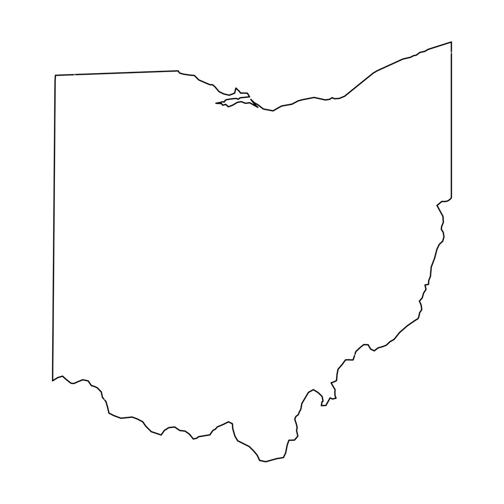
Navigating Ohio means understanding its foundational political subdivisions. The state contains precisely eighty-eight counties, each functioning as an administrative arm of the state government. Organizing these regions by numerical order relies on alphabetical sequencing established for official record-keeping, license plates, and state agency reporting.
Every county in Ohio holds an assigned numerical index running from 1 through 88, starting with Adams County and ending with Wyandot County. This directory lists all eighty-eight regions in exact numerical sequence, details their designated county seats, and explains how these numbers appear in everyday public administration.
The Complete List of Ohio Counties by Number
Official state records arrange Ohio districts alphabetically, assigning each a two-digit code. This system allows government workers, researchers, and logistics coordinators to sort data efficiently without relying solely on long text names.
- Adams County - Seat: West Union
- Allen County - Seat: Lima
- Ashland County - Seat: Ashland
- Ashtabula County - Seat: Jefferson
- Athens County - Seat: Athens
- Auglaize County - Seat: Wapakoneta
- Belmont County - Seat: Saint Clairsville
- Brown County - Seat: Georgetown
- Butler County - Seat: Hamilton
- Carroll County - Seat: Carrollton
- Champaign County - Seat: Urbana
- Clark County - Seat: Springfield
- Clermont County - Seat: Batavia
- Clinton County - Seat: Wilmington
- Columbiana County - Seat: Lisbon
- Coshocton County - Seat: Coshocton
- Crawford County - Seat: Bucyrus
- Cuyahoga County - Seat: Cleveland
- Darke County - Seat: Greenville
- Defiance County - Seat: Defiance
- Delaware County - Seat: Delaware
- Erie County - Seat: Sandusky
- Fairfield County - Seat: Lancaster
- Fayette County - Seat: Washington Court House
- Franklin County - Seat: Columbus
- Fulton County - Seat: Wauseon
- Gallia County - Seat: Gallipolis
- Geauga County - Seat: Chardon
- Greene County - Seat: Xenia
- Guernsey County - Seat: Cambridge
- Hamilton County - Seat: Cincinnati
- Hancock County - Seat: Findlay
- Hardin County - Seat: Kenton
- Harrison County - Seat: Cadiz
- Henry County - Seat: Napoleon
- Highland County - Seat: Hillsboro
- Hocking County - Seat: Logan
- Holmes County - Seat: Millersburg
- Huron County - Seat: Norwalk
- Jackson County - Seat: Jackson
- Jefferson County - Seat: Steubenville
- Knox County - Seat: Mount Vernon
- Lake County - Seat: Painesville
- Lawrence County - Seat: Ironton
- Licking County - Seat: Newark
- Logan County - Seat: Bellefontaine
- Lorain County - Seat: Elyria
- Lucas County - Seat: Toledo
- Madison County - Seat: London
- Mahoning County - Seat: Youngstown
- Marion County - Seat: Marion
- Medina County - Seat: Medina
- Meigs County - Seat: Pomeroy
- Mercer County - Seat: Celina
- Miami County - Seat: Troy
- Monroe County - Seat: Woodsfield
- Montgomery County - Seat: Dayton
- Morgan County - Seat: McConnelsville
- Morrow County - Seat: Mount Gilead
- Muskingum County - Seat: Zanesville
- Noble County - Seat: Caldwell
- Ottawa County - Seat: Port Clinton
- Paulding County - Seat: Paulding
- Perry County - Seat: New Lexington
- Pickaway County - Seat: Circleville
- Pike County - Seat: Waverly
- Portage County - Seat: Ravenna
- Preble County - Seat: Eaton
- Putnam County - Seat: Ottawa
- Richland County - Seat: Mansfield
- Ross County - Seat: Chillicothe
- Sandusky County - Seat: Fremont
- Scioto County - Seat: Portsmouth
- Seneca County - Seat: Tiffin
- Shelby County - Seat: Sidney
- Stark County - Seat: Canton
- Summit County - Seat: Akron
- Trumbull County - Seat: Warren
- Tuscarawas County - Seat: New Philadelphia
- Union County - Seat: Marysville
- Van Wert County - Seat: Van Wert
- Vinton County - Seat: McArthur
- Warren County - Seat: Lebanon
- Washington County - Seat: Marietta
- Wayne County - Seat: Wooster
- Williams County - Seat: Bryan
- Wood County - Seat: Bowling Green
- Wyandot County - Seat: Upper Sandusky
Why Ohio Counties Use Numerical Codes
The primary reason for numbering these regions stems from state bureaucracy and data organization. When the Ohio Secretary of State or the Ohio Department of Transportation processes regional statistics, sorting by alphabetical name strings can create administrative drag. Standardized numbers simplify database management, voting precinct identification, and tax tracking.
Historically, these numbers also appeared on older Ohio license plate formats. Drivers could spot numeric prefixes from 01 through 88 on vehicle registration tags, denoting the exact county where the vehicle owner resided. While modern plates use randomized alphanumeric combinations, the underlying numerical sorting tradition remains deeply embedded in state records, GIS mapping, and legal documents.
Geographic and Demographic Extremes
Looking at the list reveals stark contrasts in size, population, and economic output across the state. Not all regions function the same way, despite sharing equal political status under state law.
Population Giants and Smallest Enclaves
Franklin County (25) and Cuyahoga County (18) anchor the major metropolitan centers of Columbus and Cleveland, each hosting over one million residents. Hamilton County (31) and Summit County (77) follow close behind around Cincinnati and Akron.
Conversely, rural eastern and southeastern territories maintain much smaller headcounts. Vinton County (82), Noble County (61), and Monroe County (56) sit at the bottom of the population scale, each housing fewer than fifteen thousand residents. This creates a fascinating legislative dynamic where urban centers drive aggregate state volume while rural districts preserve vast tracts of agricultural and forested land.
Territorial Size Variations
Square mileage varies dramatically across the map. Ashtabula County (4) covers a massive footprint in the northeast corner along Lake Erie, while smaller divisions like Lake County (43) occupy compact geographical spaces.
Common Misconceptions About Ohio Counties
People frequently confuse how these districts operate or how they formed. Clearing up common errors helps researchers avoid mistakes.
- Myth: County numbers change every year. Numerical codes remain completely static because they rely on fixed alphabetical placement. Adams will always be 1 and Wyandot will always be 88.
- Myth: Every county has a major city. Many rural seats are small villages rather than bustling urban hubs. For example, West Union (Adams County) or McArthur (Vinton County) function as quiet administrative centers rather than industrial metropolises.
- Myth: Counties handle state laws directly. Counties act as administrative agents of the state, but local municipalities retain home rule powers to pass distinct ordinances within their city limits.
You can review official roster details directly via the Ohio General Assembly or check geographic profiles through the U.S. Census Bureau.
Frequently Asked Questions
Which county is number one in Ohio?
Adams County sits at number one because it starts the alphabetical sequence. Its county seat is West Union.
Why are there 88 counties in Ohio?
The number was finalized as the state's population grew and agricultural communities demanded closer local governance. The state constitution set boundaries, and once finalized in the 19th century, the total remained fixed at 88.
Do current Ohio license plates still show county numbers?
No. Standard passenger vehicle plates phased out numerical prefix codes in the late 20th century in favor of randomized letter-and-number sequences.
What is the smallest county by population?
Vinton County consistently ranks as the least populated region in the state, housing around 13,000 residents.



