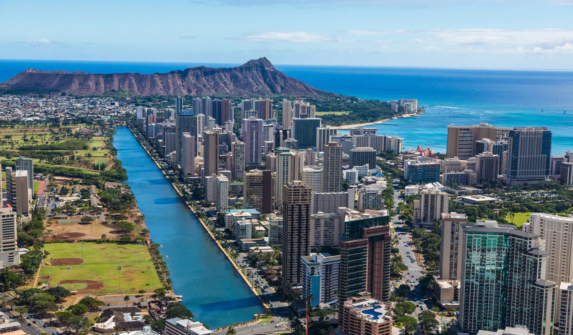
Navigating Oahu means dealing with a notorious mix of narrow coastal corridors, heavy commuter volume, and ongoing transit infrastructure projects. If you don't plan your routes carefully, a simple drive from the airport to Waikiki can easily double in duration. Knowing where the bottlenecks occur helps you avoid wasting hours stranded on the asphalt.
The primary corridors driving local congestion include the H-1 Freeway, Nimitz Highway, and Dillingham Boulevard. Major civic construction, such as the Honolulu rail transit project, frequently alters lane configurations and restricts turning options across urban Honolulu. Understanding these high-traffic arteries allows you to bypass delays and keep your schedule on track.
Major Arteries Prone to Chronic Congestion
Oahu's geography funnels millions of daily vehicle trips through a handful of key corridors. Because alternative routes are limited by mountain ranges and military installations, specific stretches consistently experience gridlock during peak hours.
The H-1 Freeway Bottlenecks
The H-1 is the backbone of Oahu's highway system, connecting Kapolei to Kaneohe via downtown Honolulu. Commuters face heavy slowdowns daily near major merges and interchanges.
- The Pearl City Viaduct: High volumes merging from the H-2 and local industrial parks create severe morning eastbound delays.
- The Punahou and Vineyard Off-Ramps: Urban bottlenecks frequently back up traffic past the downtown core due to high off-ramp volumes and occasional vehicle incidents.
Nimitz Highway and Ala Moana Boulevard
Serving as the primary coastal alternative to the H-1, Route 92 handles heavy commercial and commuter traffic. Continuous civil construction related to the Honolulu Authority for Rapid Transportation (HART) often reduces lanes to a single path in each direction, severely limiting capacity between Iwilei and downtown. Left-turn restrictions are common, requiring motorists to use designated u-turn slots or alternate inland streets.
Windward Crossings: Pali Highway and H-3
Drivers traveling between windward towns like Kailua and Honolulu rely on mountain passes. While the H-3 offers a wide, high-speed multi-lane route, Pali Highway (Route 61) features tighter turns, older infrastructure, and frequent weather-related maintenance or rockfall mitigation closures that divert drivers toward Likelike Highway (Route 63).
Current Infrastructure Projects Impacting Travel
Long-term public works projects heavily influence daily driving conditions across the island. Recognizing these active construction zones prevents unexpected detours.
Urban Rail Construction Along Dillingham and Nimitz
The ongoing transit rail installation dictates much of the traffic pattern changes in urban Honolulu. Key impacts include:
- Dillingham Boulevard Reductions: Sections between Middle Street and Kaaahi Street are heavily restricted, often featuring single-lane configurations in each direction.
- Cross-Street Closures: Side streets intersecting Dillingham, such as Kohou Street, experience total 24/7 closures or strict turning prohibitions.
- Utility Relocation: Hawaiian Electric and local telecom upgrades prompt rolling daytime lane closures along arterial roads in Aiea, Waipio, and town.
For the most up-to-date schedule of weekly state highway maintenance, check the official Hawaii Department of Transportation Roadwork Page.
Proven Strategies to Bypass Island Traffic
Overcoming Oahu's traffic challenges requires adjusting your daily habits and utilizing real-time digital tools rather than relying solely on static map applications.
Time Your Commutes Strategically
Rush hours on Oahu are sharp and predictable. Morning congestion peaks heavily between 6:00 AM and 8:30 AM heading eastbound into Honolulu. Afternoon gridlock builds from 3:30 PM to 6:30 PM heading westbound toward Kapolei and Ewa Beach. If your schedule is flexible, run errands or commute outside these windows.
Leverage Local Traffic Cameras and Tools
Instead of guessing road conditions, check live traffic feeds before leaving your accommodation or home. The state provides dedicated traffic monitoring feeds via GoAkamai, which displays live streaming cameras across major Oahu interchanges and arterial routes.
Master Alternative Inland Streets
When the H-1 or Nimitz Highway locks up entirely, hop off early and utilize parallel municipal streets.
- Use King Street or Beretania Street for surface-level travel through downtown Honolulu when Nimitz is congested.
- Utilize Kapiolani Boulevard as a reliable alternative to parts of Ala Moana Boulevard or the lower H-1 sections near Waikiki.
Common Mistakes Made by Drivers on Oahu
Visitors and new residents often repeat specific errors that worsen their commute times. Avoiding these pitfalls keeps your trips efficient.
- Ignoring Peak Contraflow Windows: Trying to travel against the standard flow without checking zipper-lane schedules can trap you in lanes that reverse direction during peak hours.
- Depending Solely on Standard GPS Estimates: Traditional routing apps sometimes fail to reflect rapid lane closures caused by minor collisions on the H-1. Always cross-reference with local transit alerts.
- Underestimating Inter-District Distances: Even though the island looks small on a map, low speed limits, heavy stop-and-go lights, and transit construction mean a 15-mile drive can easily take 45 to 60 minutes during peak periods.
Frequently Asked Questions
How can I check live road closures on Oahu right now?
You can check real-time updates and live camera feeds through the official GoAkamai Traffic Portal. For planned weekly state highway construction schedules, review the HDOT Oahu Lane Closures List.
Which highway on Oahu gets the most congested?
The H-1 Freeway experiences the heaviest and most consistent congestion, particularly through the urban Honolulu corridor, the Pearl City merge, and the downtown off-ramps during morning and evening rush hours.
Are there toll roads on Oahu?
No, all public freeways, highways, and major surface streets on Oahu are toll-free. However, parking fees in urban Honolulu and Waikiki are notoriously high.
How do rail transit construction zones affect parking?
Many major construction zones along Dillingham Boulevard and Nimitz Highway feature strict temporary street parking bans to accommodate heavy machinery and detours. Always check local street signage before leaving a vehicle parked on active commercial corridors.


