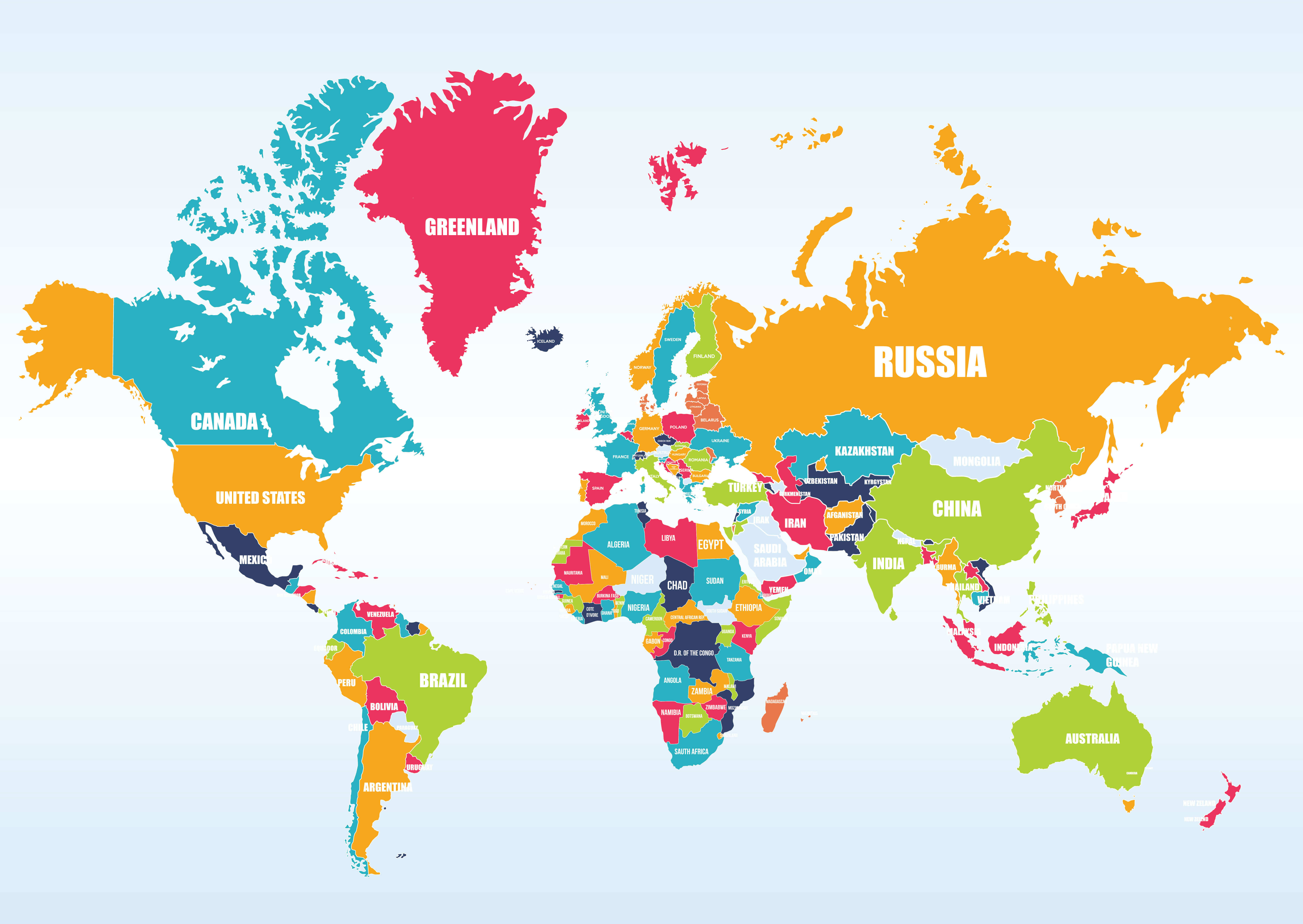
North America consists of 23 sovereign countries and multiple non-sovereign territories spanning from the Arctic Circle down to the Isthmus of Panama and across the Caribbean Sea. While most people instantly picture Canada, the United States, and Mexico, the continent's true boundaries encompass a much broader geographic and political spectrum.
Understanding this makeup requires looking beyond simple physical borders. Geographers, political scientists, and international organizations split the continent into distinct subregions based on culture, shared history, and governance. Here is the exact breakdown of every nation, territory, and boundary that defines North America today.
Core Mainland Nations
The vast majority of the continent's landmass and population is concentrated in its three northernmost countries. These nations share massive land borders, integrated economies, and deep historical ties, yet they maintain distinctly different political structures.
Canada
Covering nearly 10 million square kilometers, Canada is the second-largest country in the world by total area. It operates as a federal parliamentary democracy and a constitutional monarchy, recognizing King Charles III as its head of state. Despite its massive size, about 90% of Canada's population lives within 100 miles of the United States border, leaving its northern territories—Yukon, the Northwest Territories, and Nunavut—sparsely populated.
United States
Directly south of Canada lies the United States, a federal republic composed of 50 states, a federal district (Washington, D.C.), and several overseas territories. As the largest economy in the world, the U.S. exerts enormous cultural and geopolitical influence across the continent. Its geographic diversity ranges from the arctic conditions of Alaska to the tropical climate of Florida and Hawaii.
Mexico
Stretching south from the U.S. border, Mexico is a federal republic and the most populous Spanish-speaking country in the world. Mexico bridges the gap between Anglo-America and Central America. Its geography is dominated by high plateaus, rugged mountain ranges (Sierra Madre), and extensive coastal lowlands along both the Pacific Ocean and the Gulf of Mexico.
Central America
Connecting the North American mainland to South America is the narrow isthmus of Central America. This region consists of seven sovereign states, all of which share a history of Spanish colonization, dramatic volcanic terrain, and tropical climates.
- Guatemala: The most populous nation in Central America, known for its rich Mayan heritage and mountainous highlands.
- Belize: The only English-speaking nation in Central America, bordered by Mexico, Guatemala, and the Caribbean Sea.
- Honduras: A mountainous republic with extensive Caribbean coastlines and important tropical rainforests.
- El Salvador: The smallest and most densely populated nation in Central America, located entirely on the Pacific coast.
- Nicaragua: The largest country in Central America by area, featuring large freshwater lakes and volcanic chains.
- Costa Rica: A stable democracy renowned for its progressive environmental policies, high literacy rate, and lack of a standing army.
- Panama: The southernmost nation of the region, famous for the engineering marvel of the Panama Canal connecting the Atlantic and Pacific Oceans.
The Caribbean Region
Geopolitically and culturally, the island nations of the Caribbean Sea are classified as part of North America. This region is divided into three main island groups: the Greater Antilles, the Lesser Antilles, and the Lucayan Archipelago (Bahamas and Turks and Caicos).
The Greater Antilles comprise the largest islands in the region:
- Cuba: The largest island nation in the Caribbean, operating as a socialist republic.
- Jamaica: An island nation in the West Indies known globally for its cultural impact, music, and tourism.
- Haiti: Occupying the western third of the island of Hispaniola, sharing a border with the Dominican Republic.
- Dominican Republic: Occupying the eastern two-thirds of Hispaniola, featuring a rapidly growing tourism and manufacturing economy.
The Lesser Antilles form an arc of smaller islands curving from the eastern edge of the Caribbean Sea down toward South America. This group includes sovereign island nations such as Antigua and Barbuda, Barbados, Dominica, Grenada, Saint Kitts and Nevis, Saint Lucia, Saint Vincent and the Grenadines, and Trinidad and Tobago.
Further north, independent island nations like The Bahamas and The Commonwealth of Dominica complete the Caribbean tally.
Non-Sovereign Territories
Political control in North America extends beyond independent countries. Several islands and mainland pockets are administered by European nations or the United States, retaining unique legal and economic ties to their parent countries.
- Greenland: An autonomous territory within the Kingdom of Denmark. It's the largest island in the world, largely covered by an ice sheet, with self-governing domestic affairs.
- Bermuda: A self-governing British Overseas Territory located in the North Atlantic Ocean, famous for international finance and tourism.
- Puerto Rico and the U.S. Virgin Islands: Unincorporated territories of the United States in the Caribbean. Residents are U.S. citizens, but they lack voting representation in the U.S. Congress.
- French Overseas Departments and Collectivities: Islands such as Guadeloupe, Martinique, Saint Martin, and Saint Pierre and Miquelon are fully integrated parts of the French Republic, using the Euro and sending representatives to the French parliament.
- Kingdom of the Netherlands Territories: Aruba, Curaçao, and Sint Maarten are constituent countries within the Kingdom of the Netherlands, maintaining separate legal systems while sharing Dutch defense and foreign policy.
Common Misconceptions About North American Borders
Geography textbooks often blur lines that create confusion for students and travelers alike. Clearing up these points reveals how maps change depending on the context.
Is Central America Part of North America?
Geologically and geographically, yes. Central America sits entirely on the North American tectonic plate (with parts resting on the Caribbean plate) and forms the land bridge connecting the northern and southern halves of the Americas. However, cultural and economic frameworks often group Central America separately due to Spanish colonial history and distinct trade blocs.
Are Caribbean Islands Considered North American?
Yes. From a continental taxonomy standpoint, the Caribbean islands do not belong to South America. They sit on their own tectonic boundaries or the North American plate and are universally categorized under the North American region by cartographers and the United Nations.
What About Hawaii?
Geographically, the Hawaiian Islands are isolated in the central Pacific Ocean and do not sit on any continental shelf. Politically, Hawaii is the 50th U.S. state, which makes it politically tied to North America, though biogeographically it shares more traits with Oceania.
Frequently Asked Questions
How many total countries are in North America?
There are 23 internationally recognized sovereign countries located within the geographic boundaries of North America. This includes the 3 mainland northern powers, the 7 Central American nations, and 13 island nations located throughout the Caribbean.
Why is Mexico considered part of North America instead of Latin America?
Mexico is part of both. "North America" is a geographic and continental definition based on landmasses. "Latin America" is a linguistic and cultural classification applied to countries where Romance languages (primarily Spanish and Portuguese) are spoken. Mexico falls into both categories.
Is Greenland part of North America?
Geographically, Greenland sits on the North American tectonic plate and is part of the North American continent. Politically, it is an autonomous territory belonging to the Kingdom of Denmark, situated in Europe.
What is the smallest country in North America?
Saint Kitts and Nevis is the smallest sovereign nation in North America, covering just 261 square kilometers in the Caribbean Sea.



