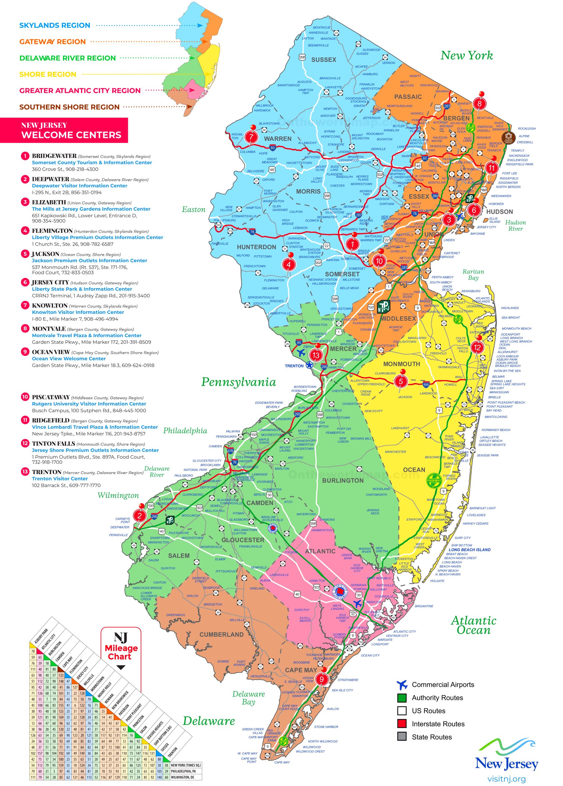
Navigating New Jersey's dense highway system requires accurate, up-to-the-minute data to avoid major delays. NJ 511 is a free traveler information service managed by the New Jersey Department of Transportation that aggregates real-time road conditions, construction updates, accident reports, and transit alternatives. Whether you're commuting across the George Washington Bridge or driving down the Turnpike, understanding how to use this platform saves hours behind the wheel.
The service operates across multiple channels, including a dedicated website, a mobile application, and a toll-free phone number. Instead of relying solely on commercial GPS apps that might miss hyper-local construction alerts or minor shoulder incidents, integrating this state-operated tool into your routine gives you direct insight from traffic management centers.
Core Features of the NJ 511 Platform
The system offers several distinct features designed to keep motorists informed before and during their trips. Knowing what tools are available helps you choose the right medium for your driving habits.
Live Traffic Maps and Cameras
The interactive map on the official portal provides continuous updates on highway speeds, active incidents, stalled vehicles, and roadwork. Many regional segments feature live traffic camera snapshots, allowing you to visually verify weather conditions or congestion levels before leaving your house.
Personalized Alerts and Route Monitoring
Frequent commuters can set up customized accounts to receive text or email alerts. By saving your standard routes—such as from Trenton to Newark—the system notifies you of unexpected delays or closures along your specific path before you turn the ignition.
Public Transit and Rideshare Integration
Beyond standard highway driving, the platform connects users with broader transportation networks. It links to NJ Transit schedules, park-and-ride lot locations, and regional carpooling registries. If a major accident shuts down a major interstate lane, checking these transit integrations helps you quickly pivot to a train or bus alternative.
Accessing NJ 511 On the Go
Different situations call for different access methods. Drivers shouldn't browse websites or apps while moving, so the service provides hands-free options.
- Phone Access: Dialing 511 directly from any phone within New Jersey connects you to an automated or live-assisted menu for verbal route updates. If calling from out of state or through specific VoIP providers, you can use the toll-free alternative at 866-511-6538.
- Web Portal: Visiting 511NJ on a desktop or mobile browser offers the most comprehensive view of statewide maps, regional speeds, and weather advisories.
- Mobile Apps: Dedicated smartphone applications for iOS and Android deliver push notifications and regional filters straight to your pocket.
Common Mistakes to Avoid
Many motorists underutilize or misuse traveler information services, leading to preventable frustrations on the road.
- Checking too late: Looking up road conditions while stuck in a dead stop doesn't help you take an earlier exit. Check conditions before you leave your driveway or office.
- Ignoring weather overlays: Failing to check winter weather or flooding layers can trap you on roads prone to rapid environmental changes. Always toggle weather filters during storms.
- Depending on a single source: Commercial navigation tools are great for turn-by-turn directions, but state-operated feeds often capture sudden emergency road closures or debris faster. Cross-referencing gives you the clearest picture.
Frequently Asked Questions
Is NJ 511 completely free to use?
Yes, the web service, phone line, and mobile applications are entirely free public services provided by the state. Standard mobile carrier data rates may apply when using the app or website on a cellular network.
Can I use the phone service while driving?
While you can dial 511 hands-free using vehicle Bluetooth systems, New Jersey law strictly prohibits handheld mobile phone use while driving. Always prioritize safety and set up your route or check updates before you start driving.
Does the system cover local town roads or just major highways?
The primary focus remains on state highways, interstates, toll roads (such as the Garden State Parkway and NJ Turnpike), and major bridges and tunnels. Municipal or local residential streets typically do not feature real-time sensor tracking.
How often are the traffic incident reports updated?
Data refreshes continuously throughout the day. Major accidents, stalls, and emergency construction updates feed directly from state police and department of transportation dispatchers in real time.


